Description:
The ancient city of Halicarnassus, now occupied by modern Bodrum in southwestern Turkey, was once protected by an extensive system of defensive walls, towers, gates, and fortified strongholds. Despite centuries of destruction and modern urban development, substantial sections of these fortifications have survived, offering valuable insights into the city's military architecture. Recent archaeological work, begun in 2020, has made part of the western defensive circuit more accessible through excavation, cleaning, and landscaping, resulting in a walking route between Bardakçı and Myndos Gate. The route allows visitors to explore the surviving walls and towers in their original setting and appreciate the scale of the ancient defences. The most impressive surviving entrance, Myndos Gate, and its immediate surroundings are described separately in the article Myndos Gate in Bodrum.
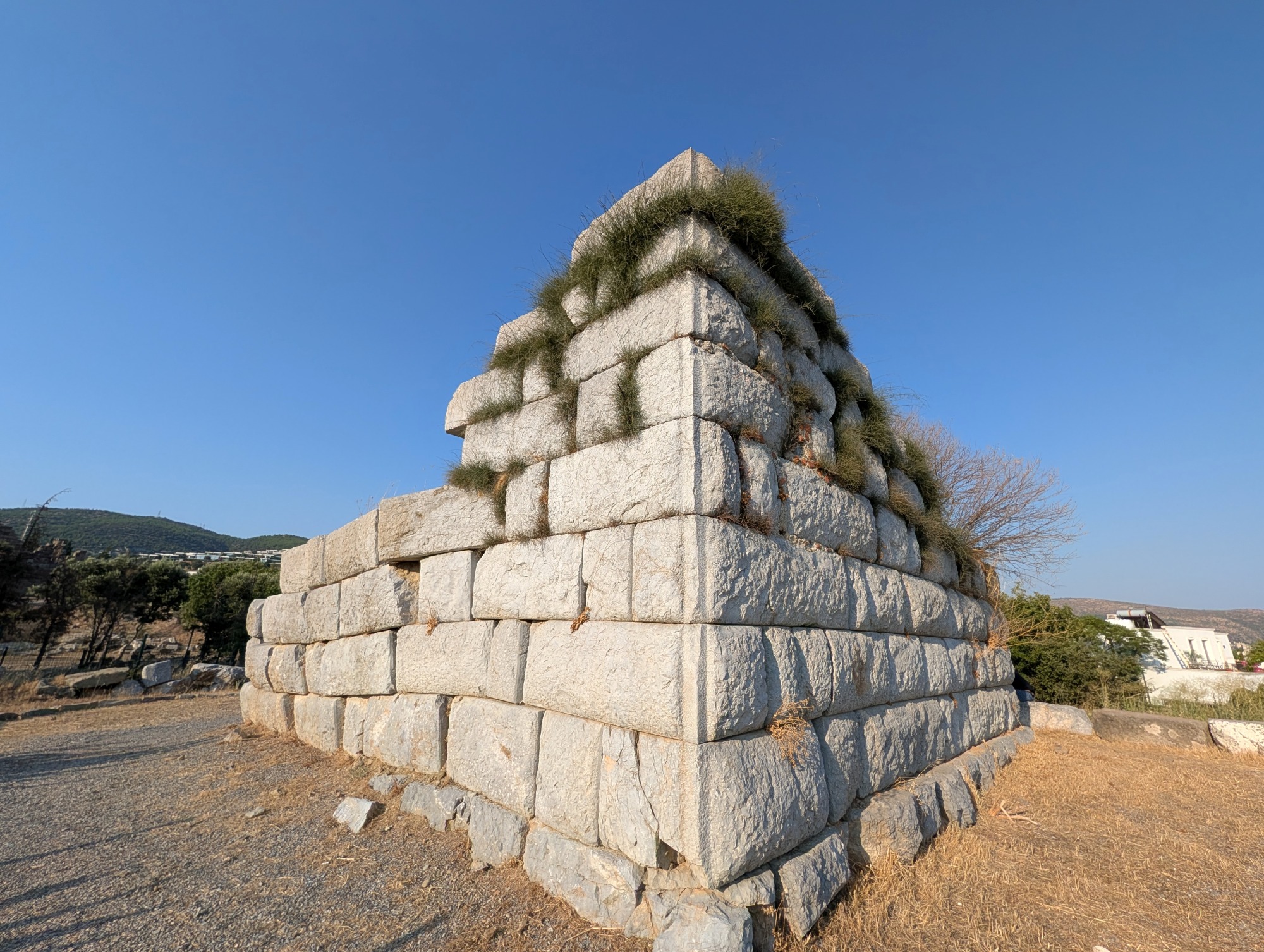
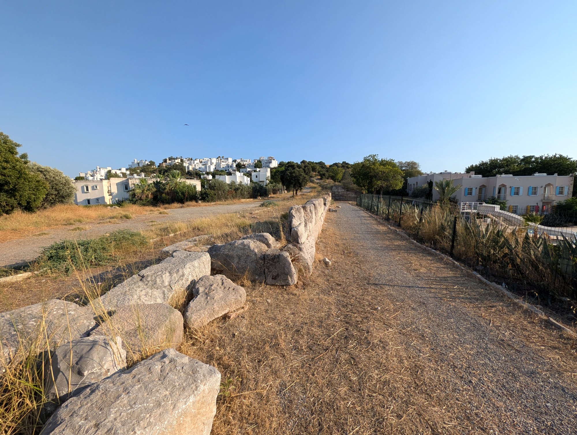
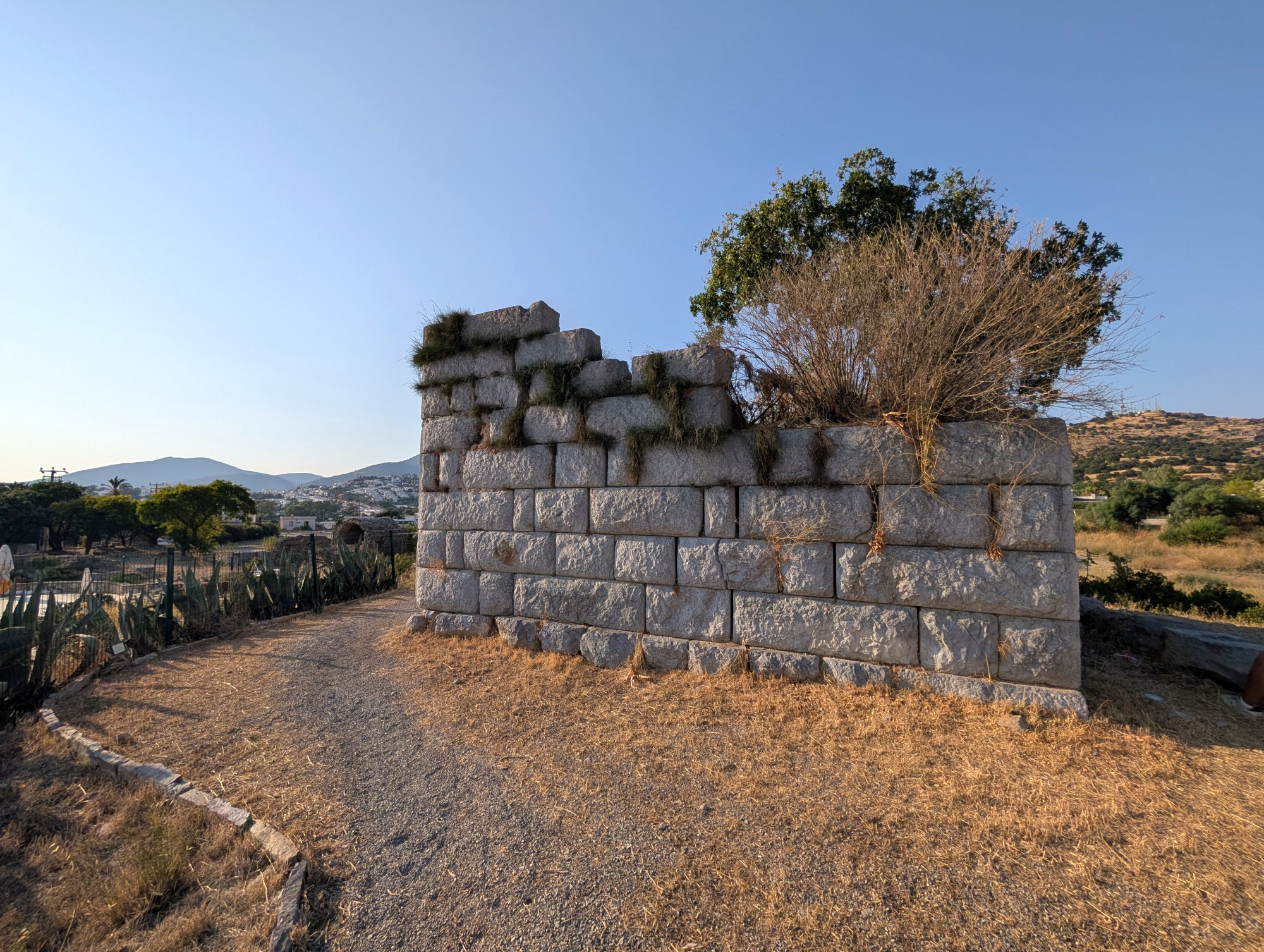
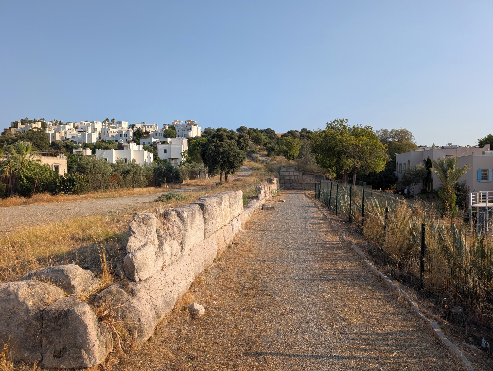
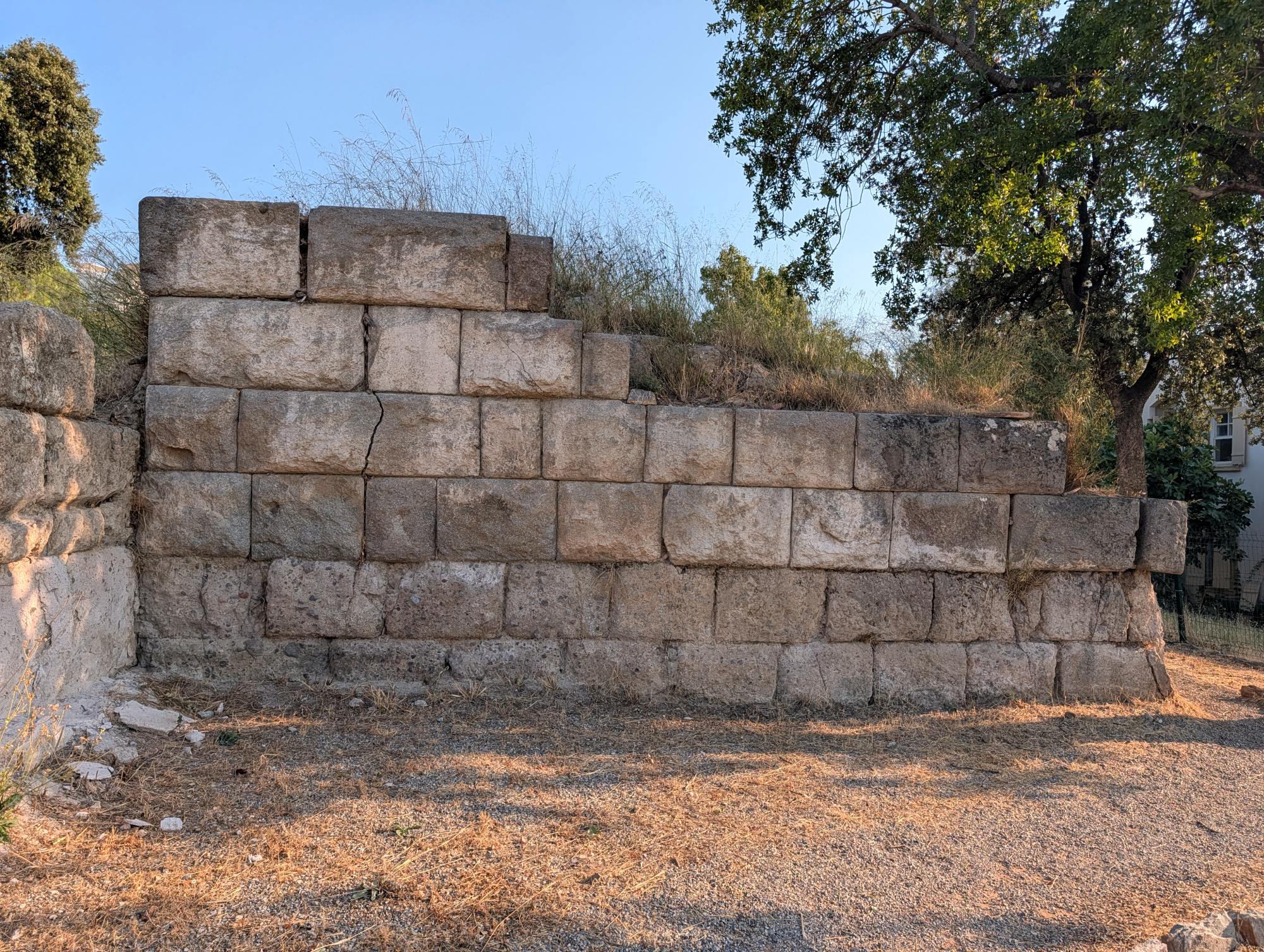
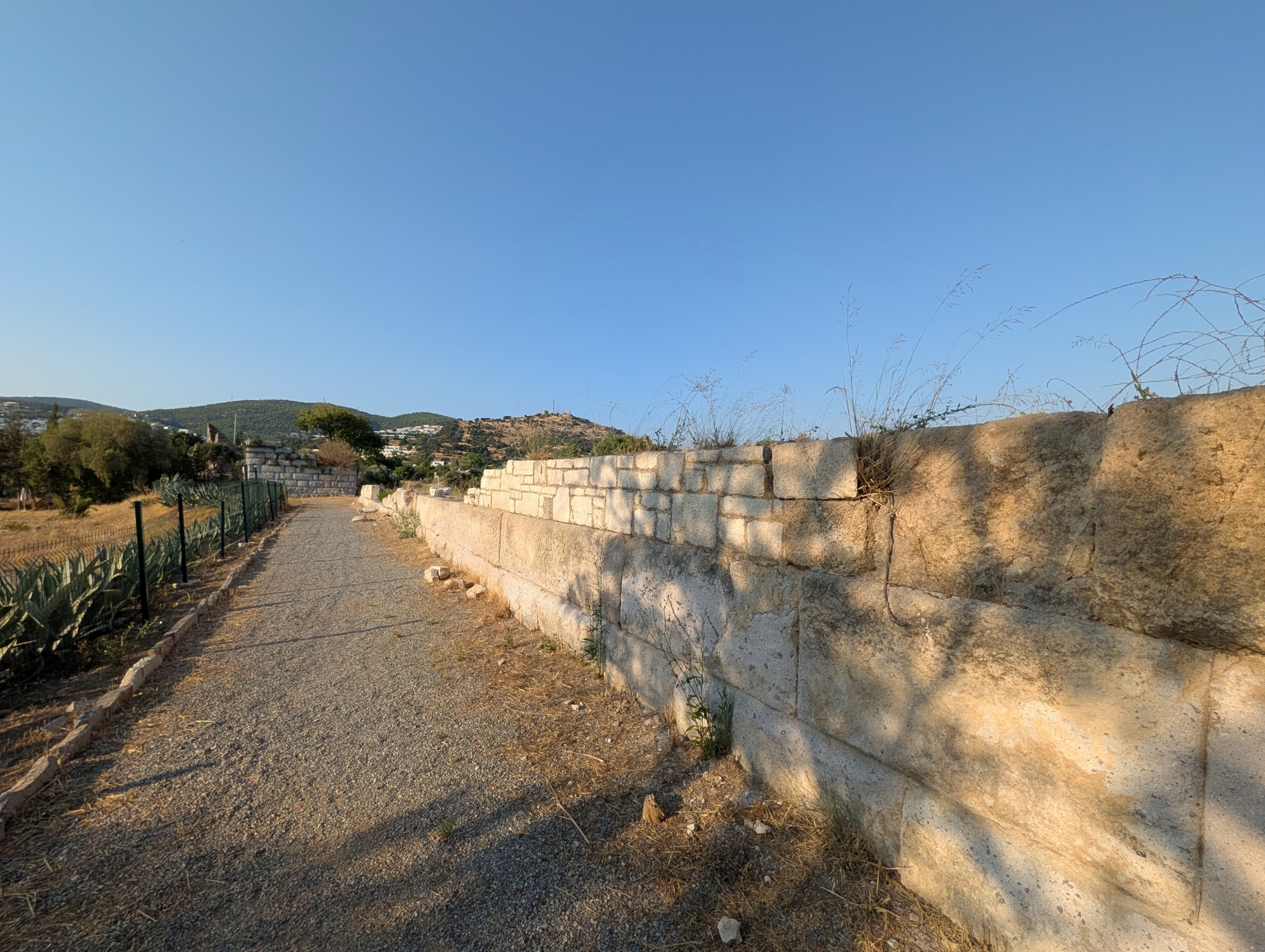
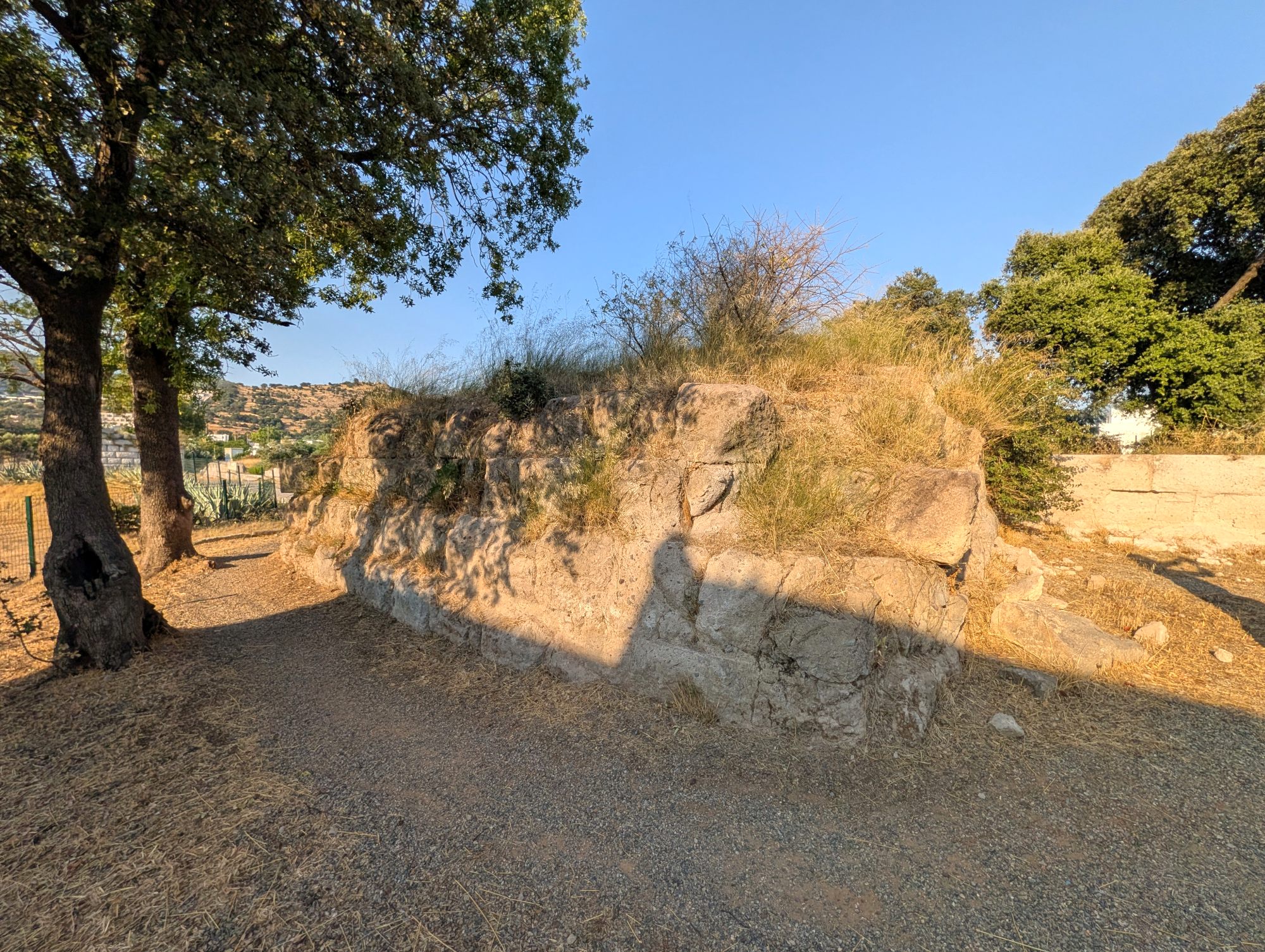
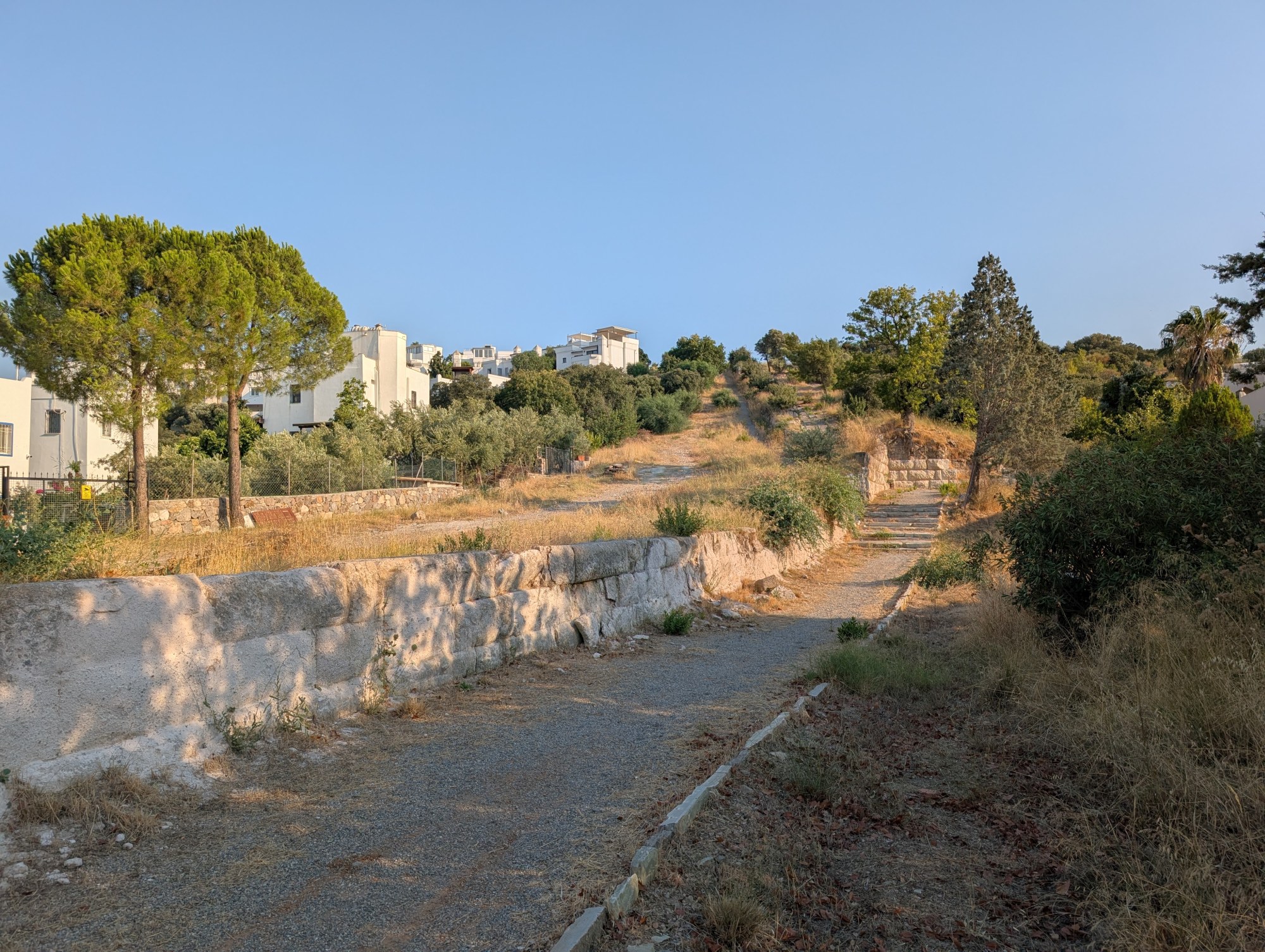
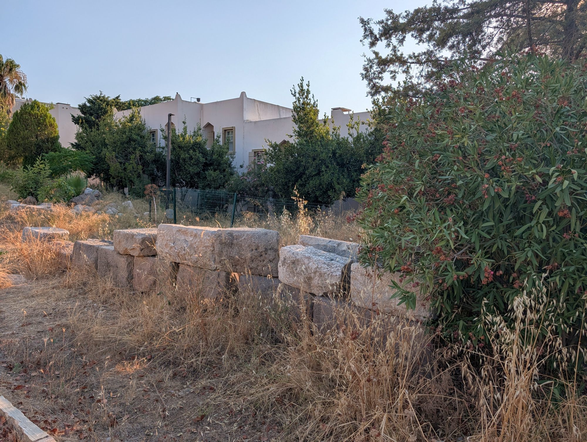
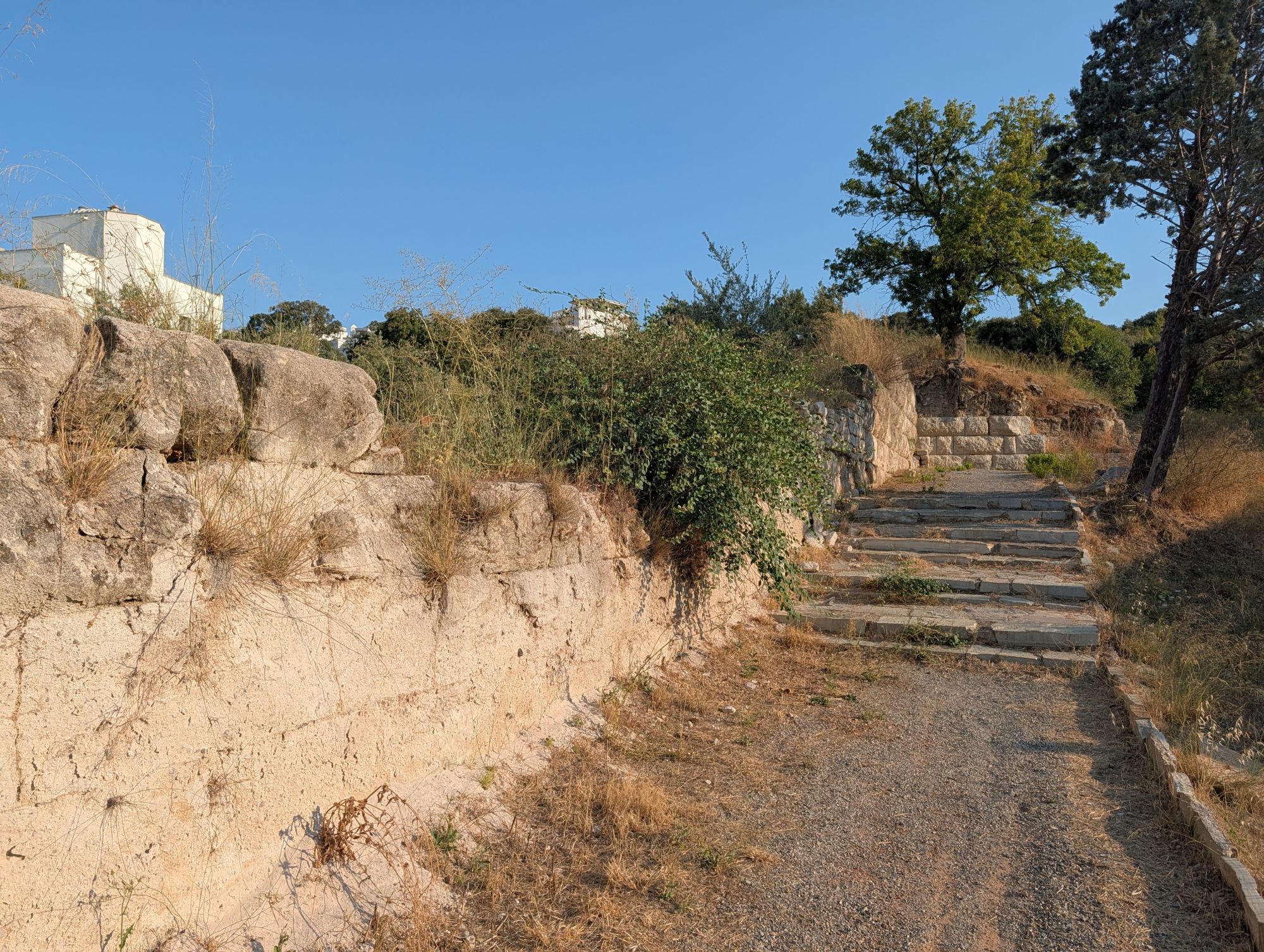
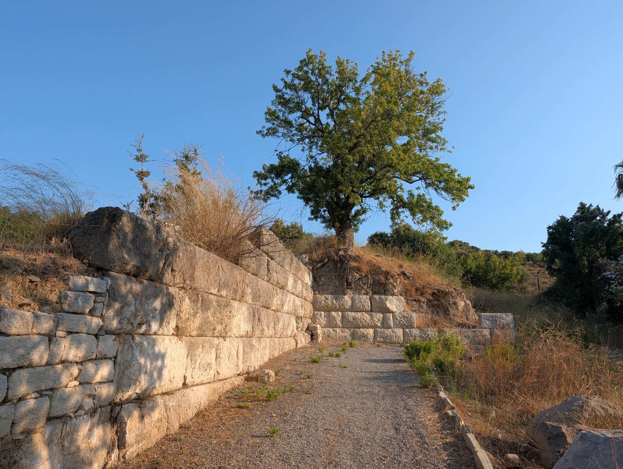
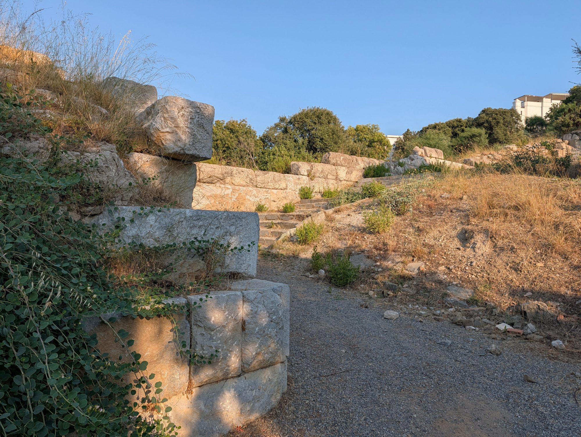
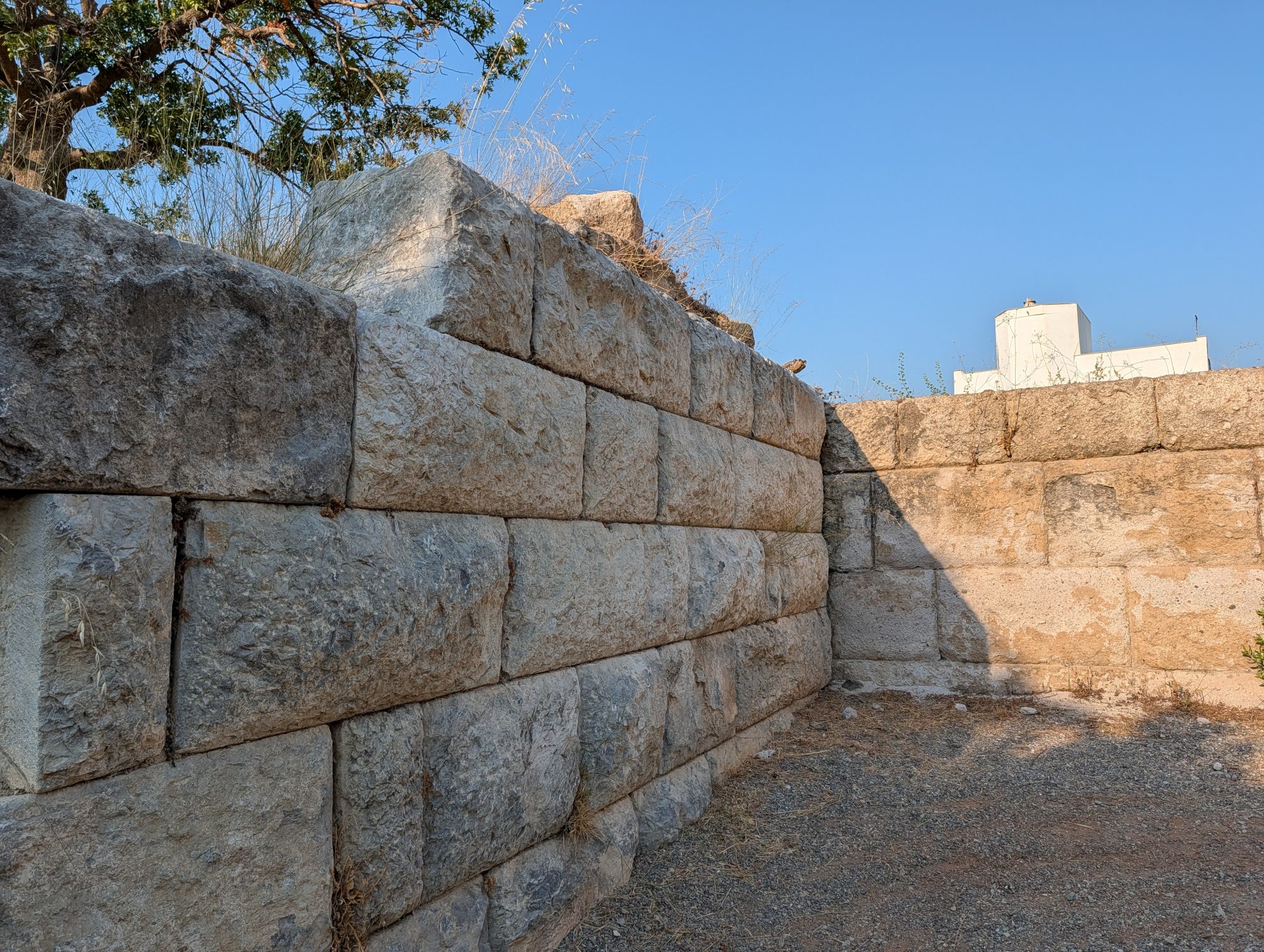
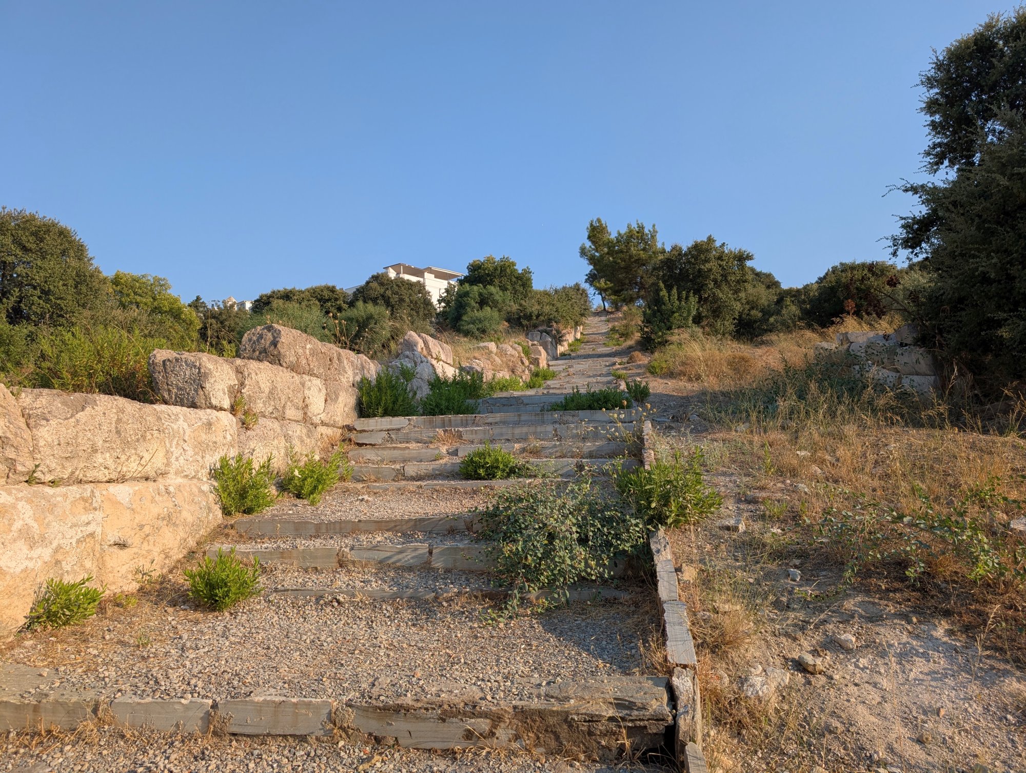
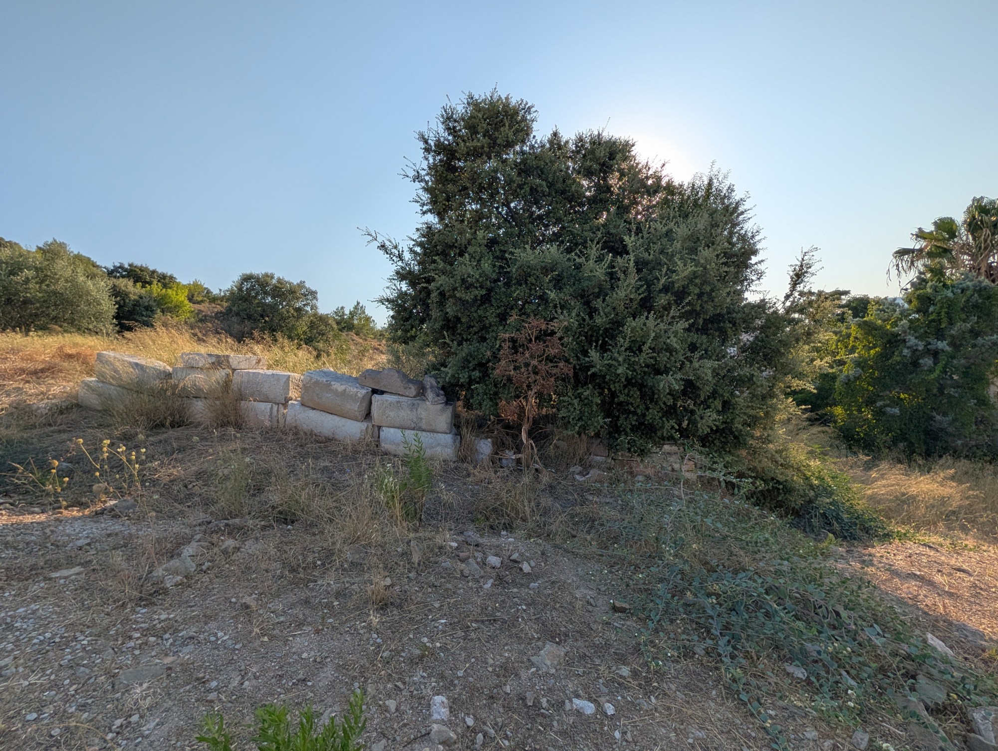
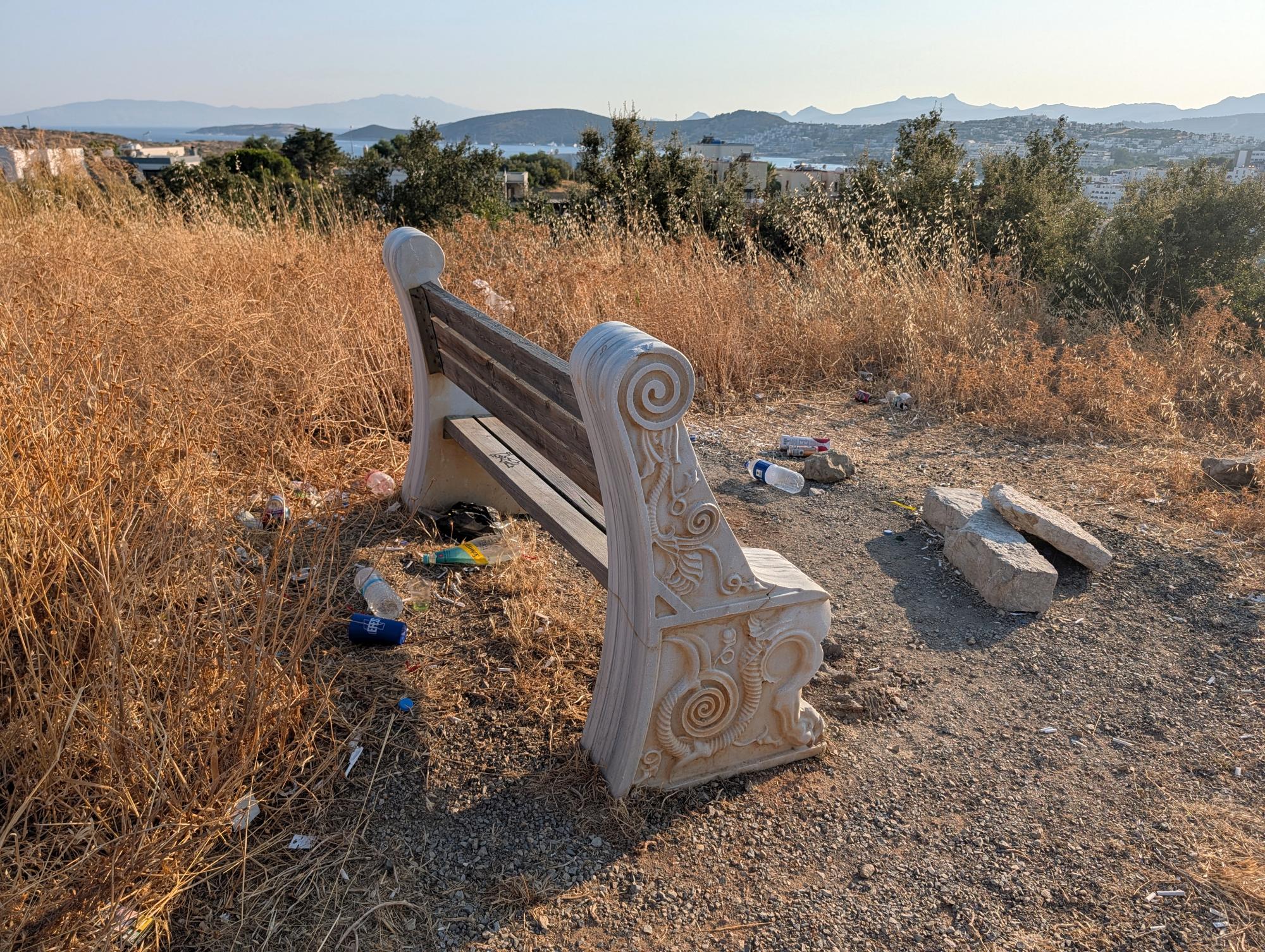
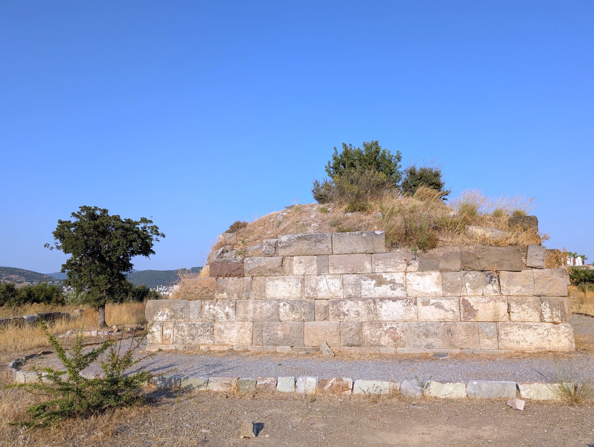
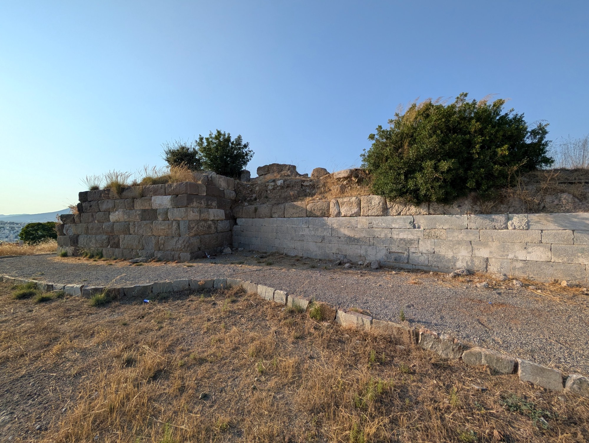
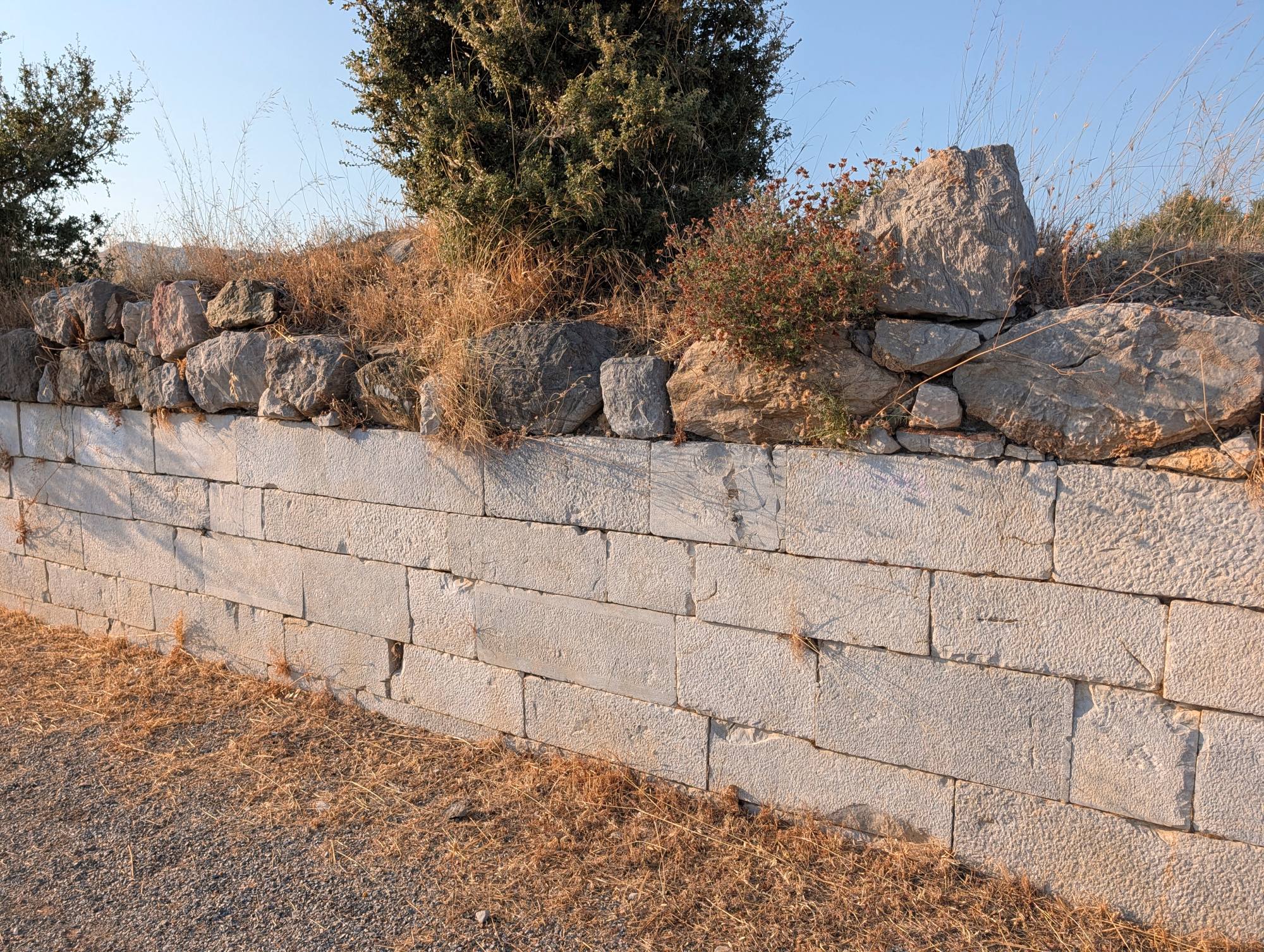
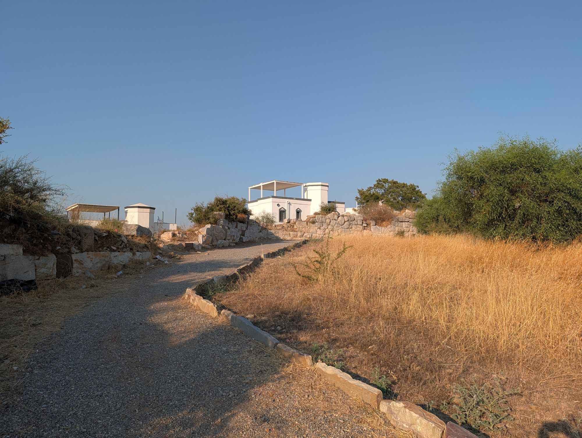
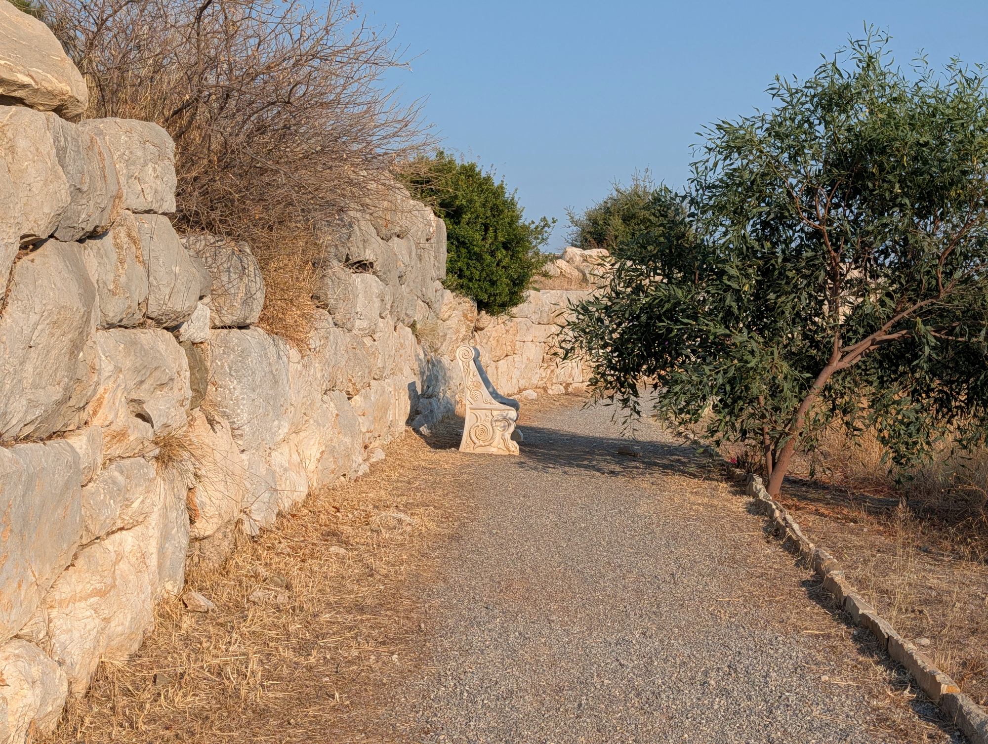
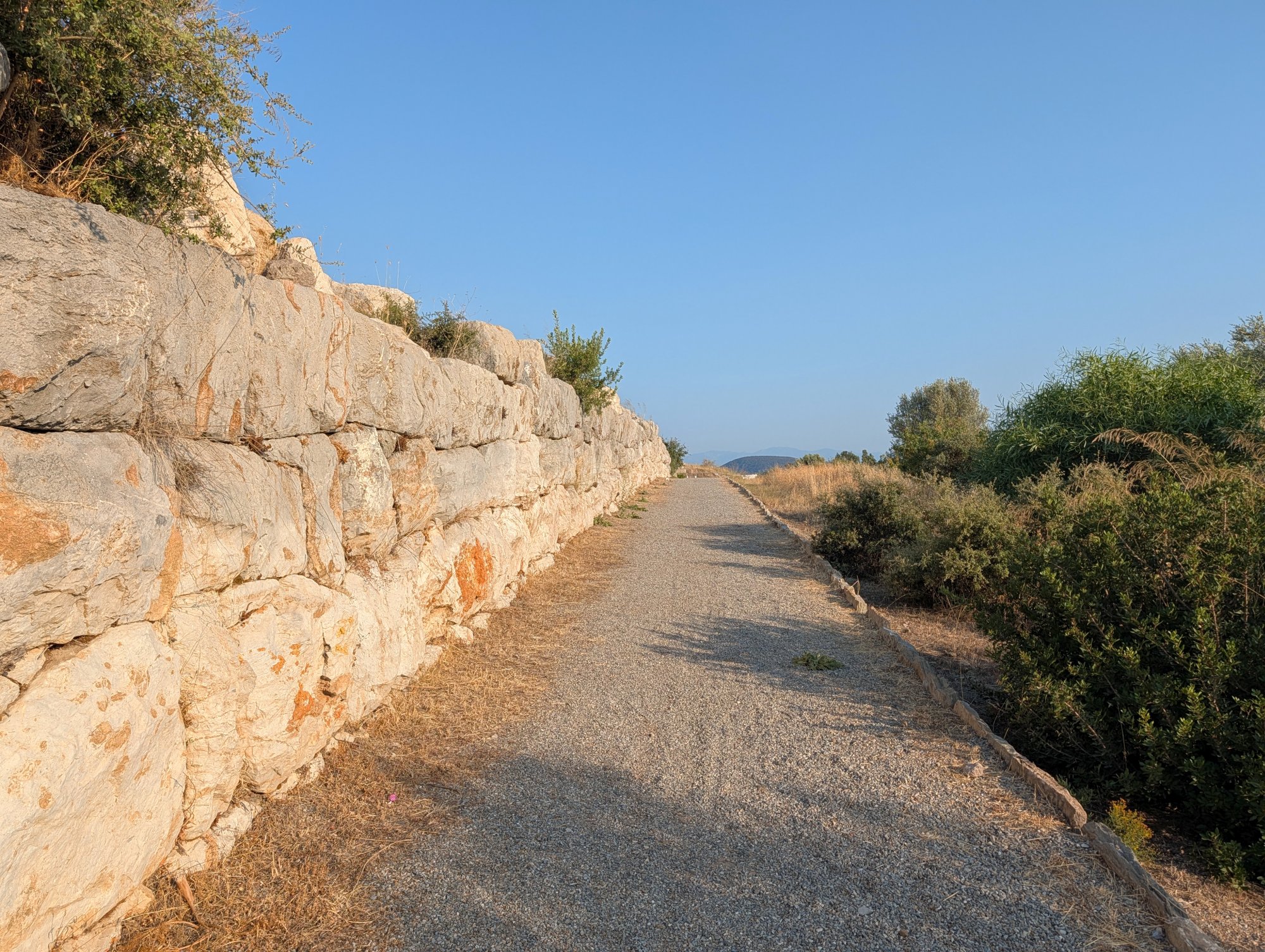
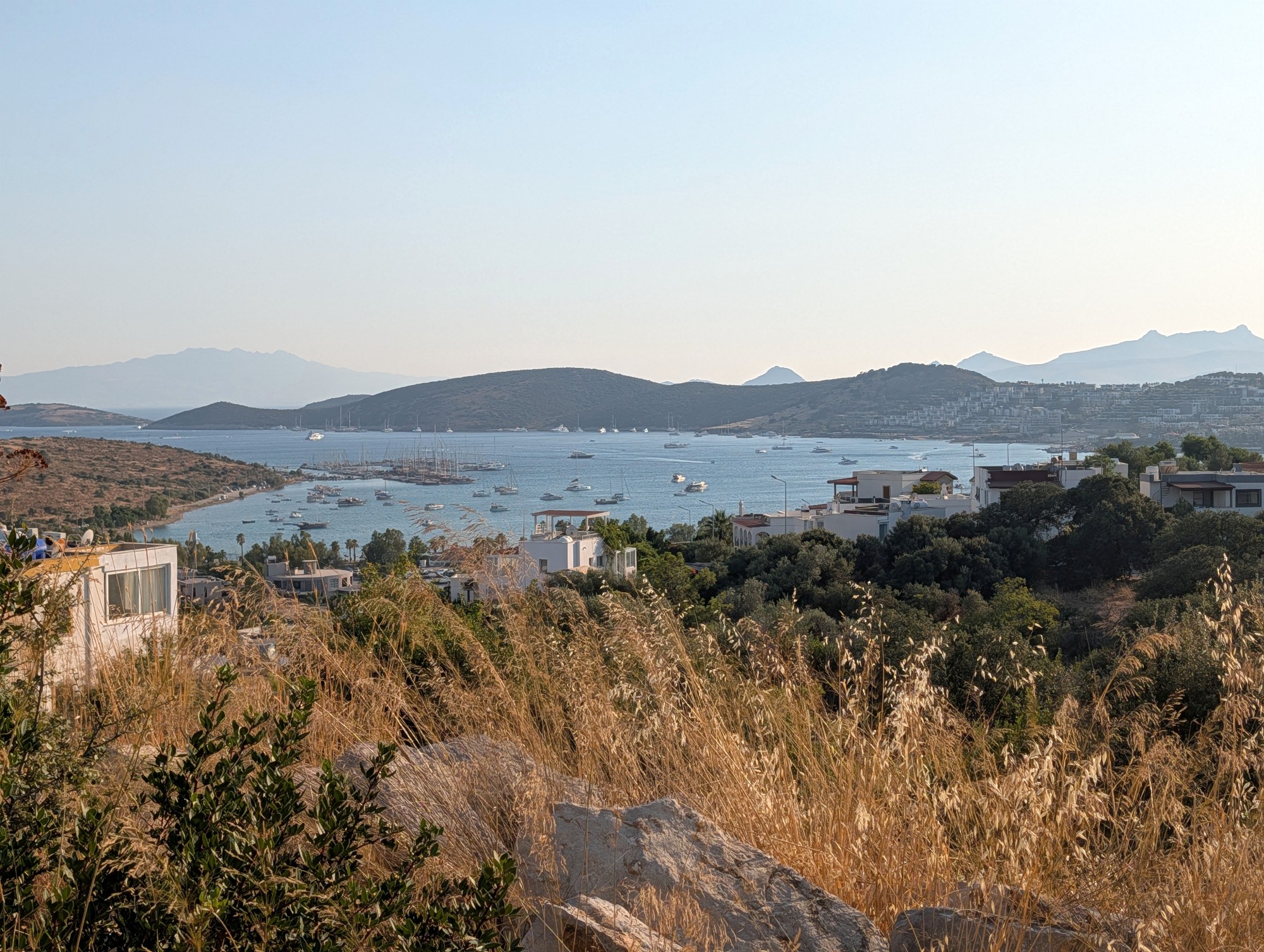
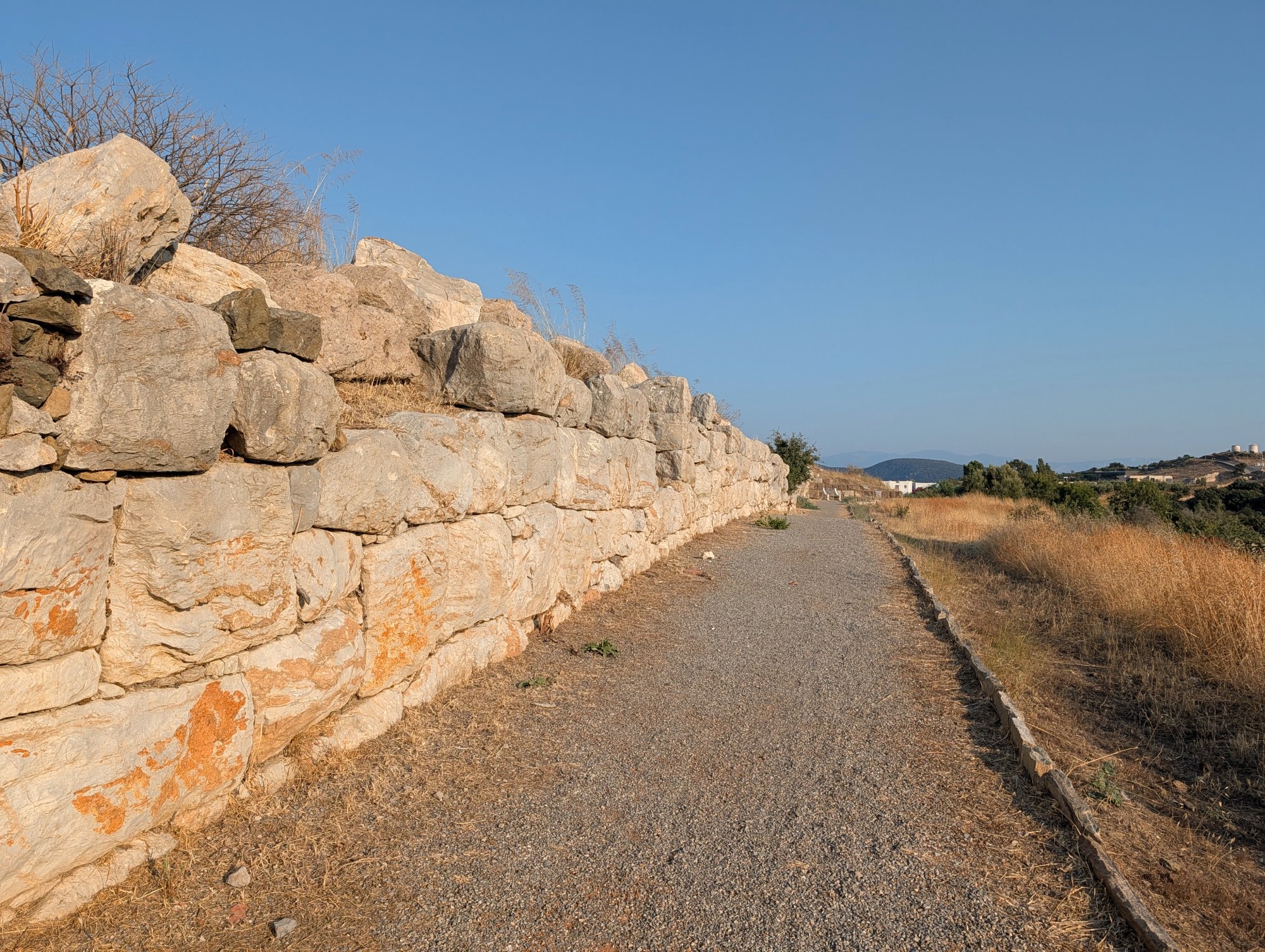
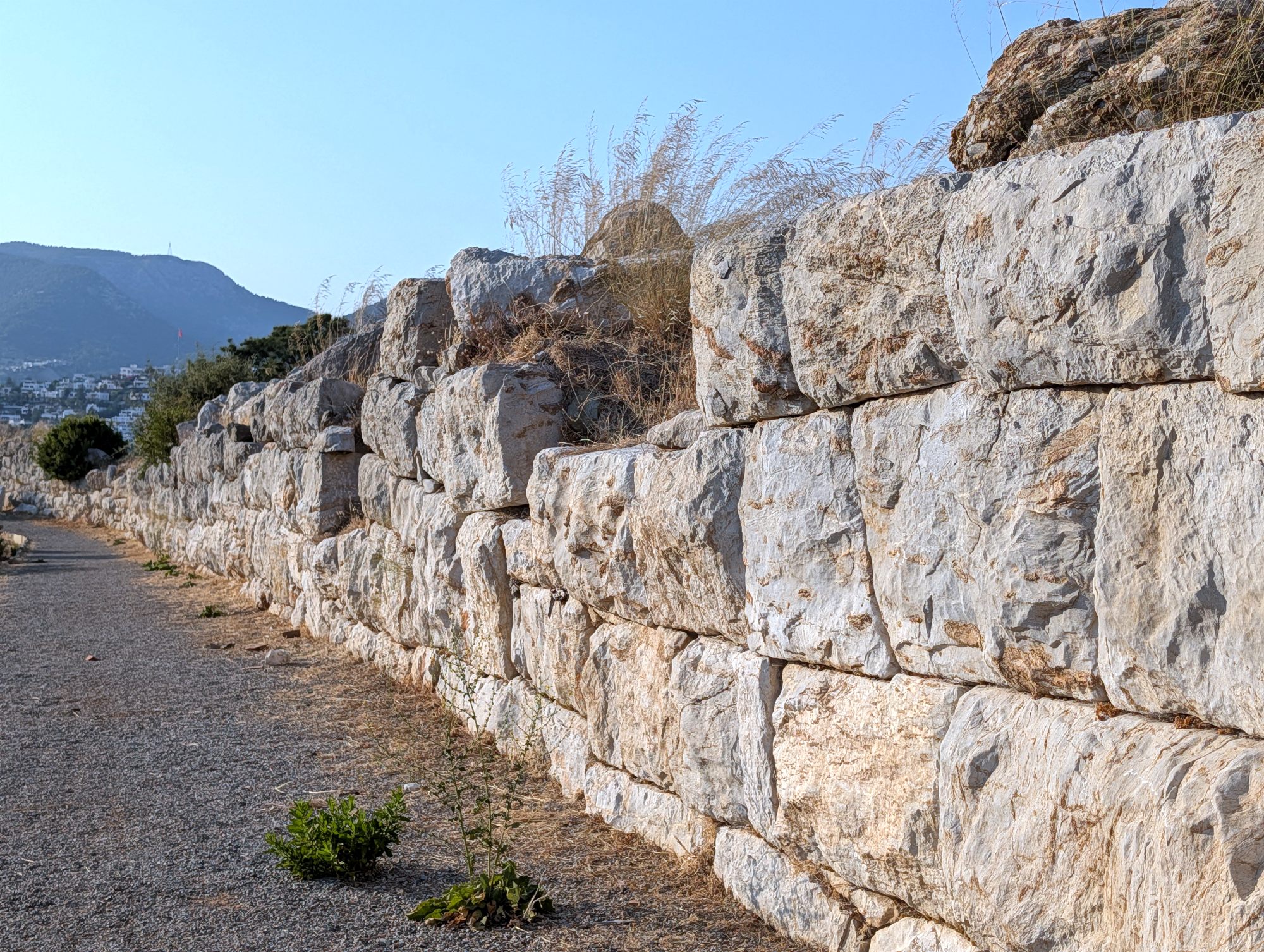
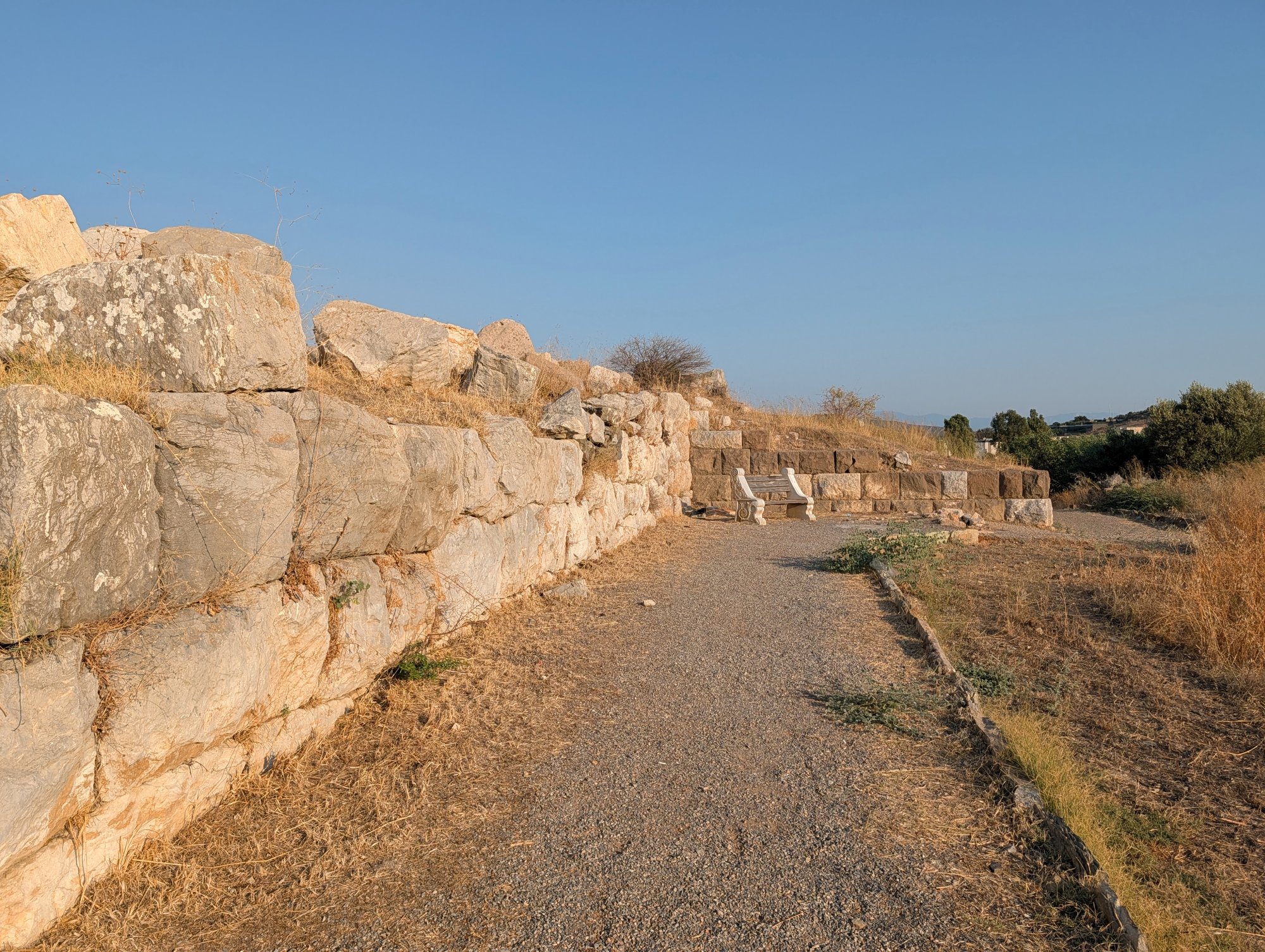
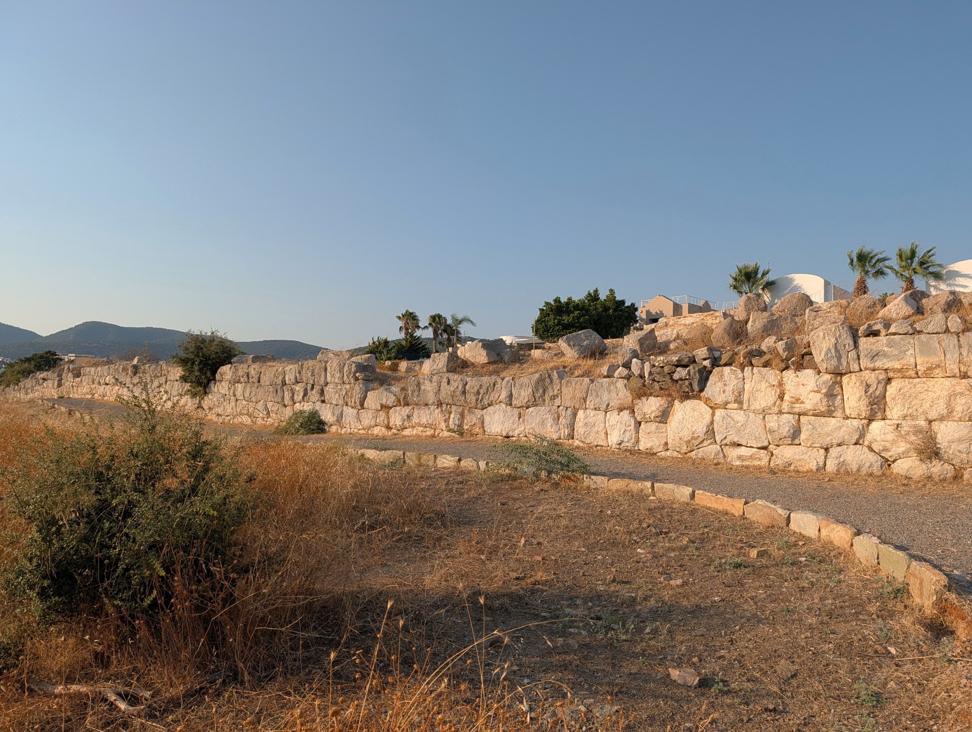
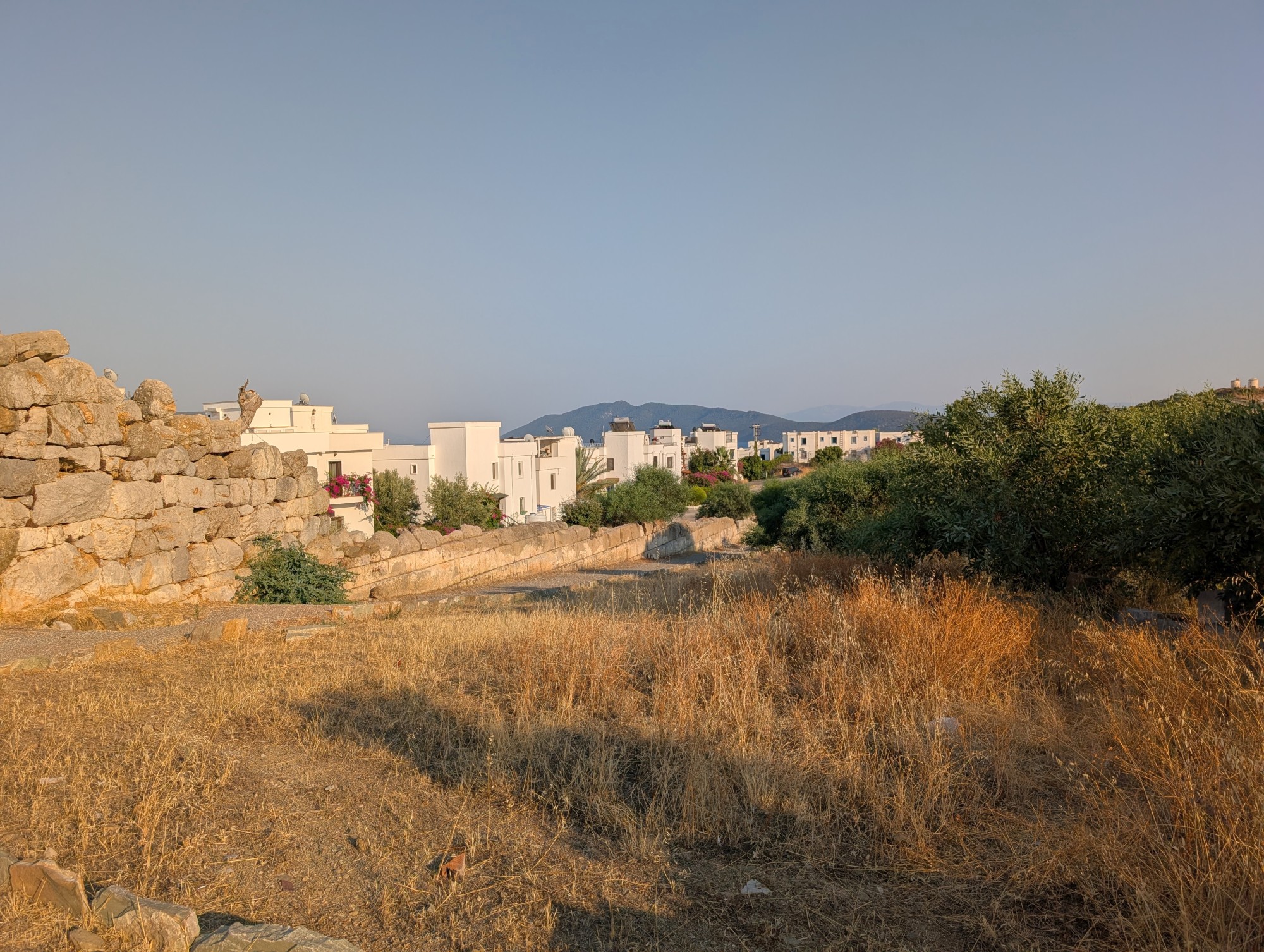
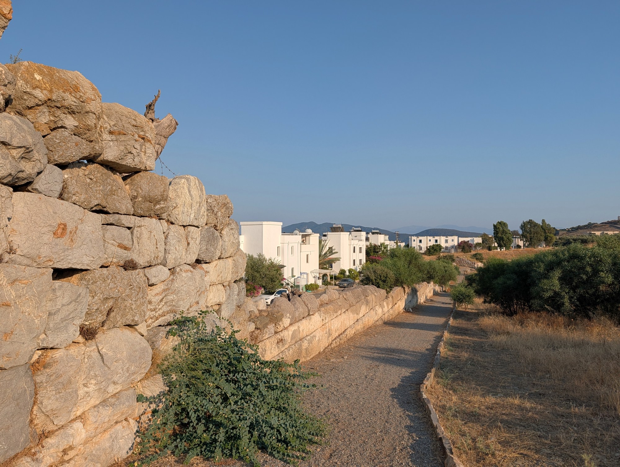
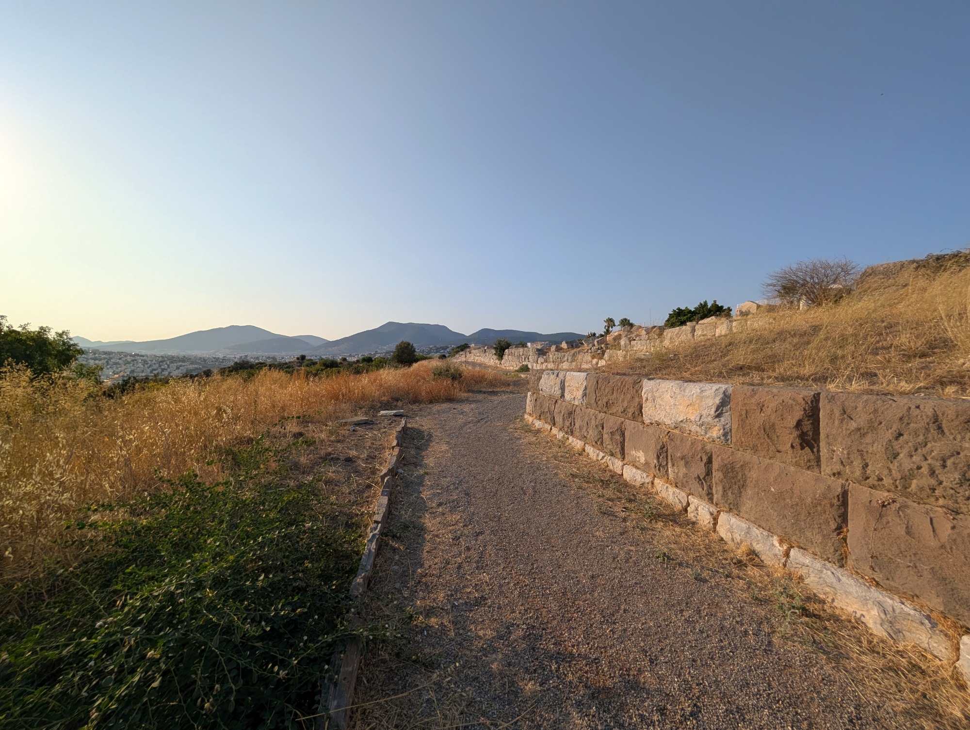
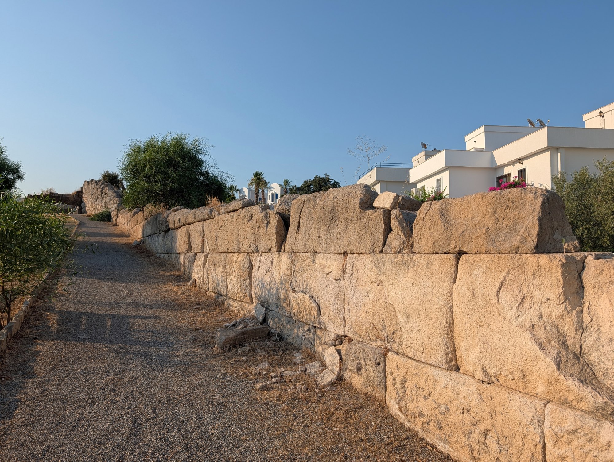
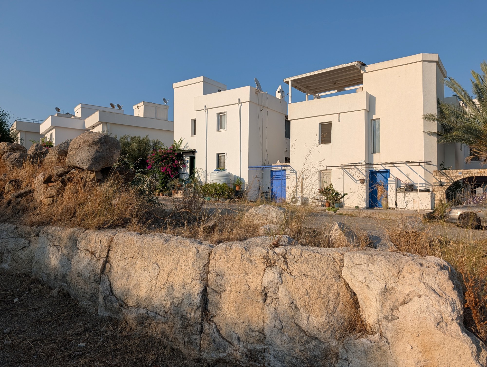
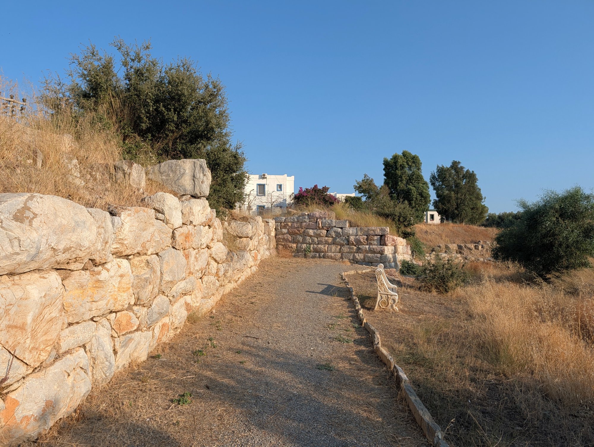
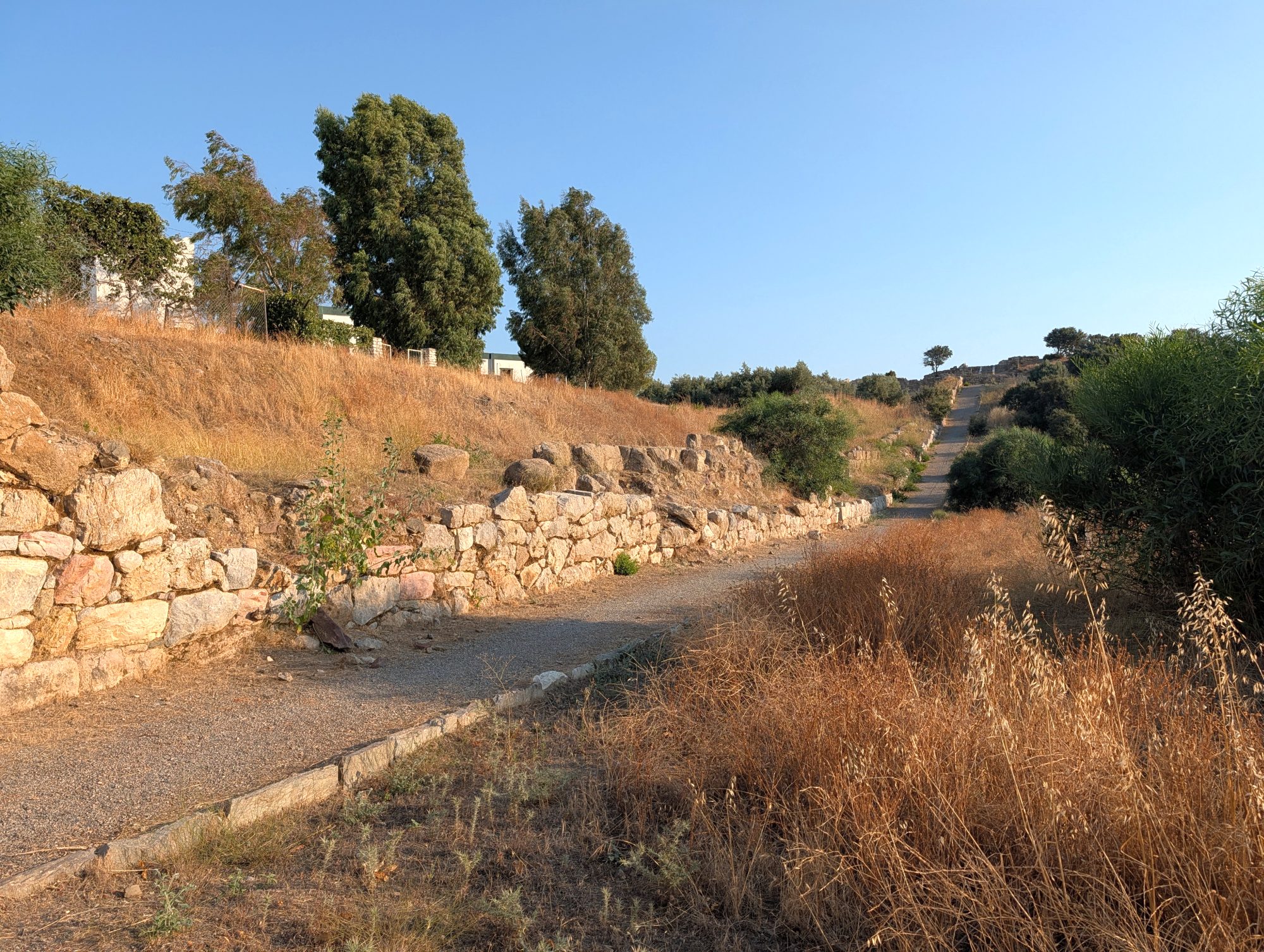
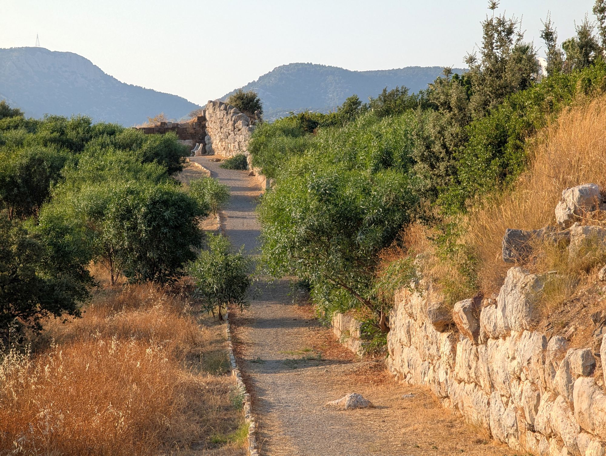
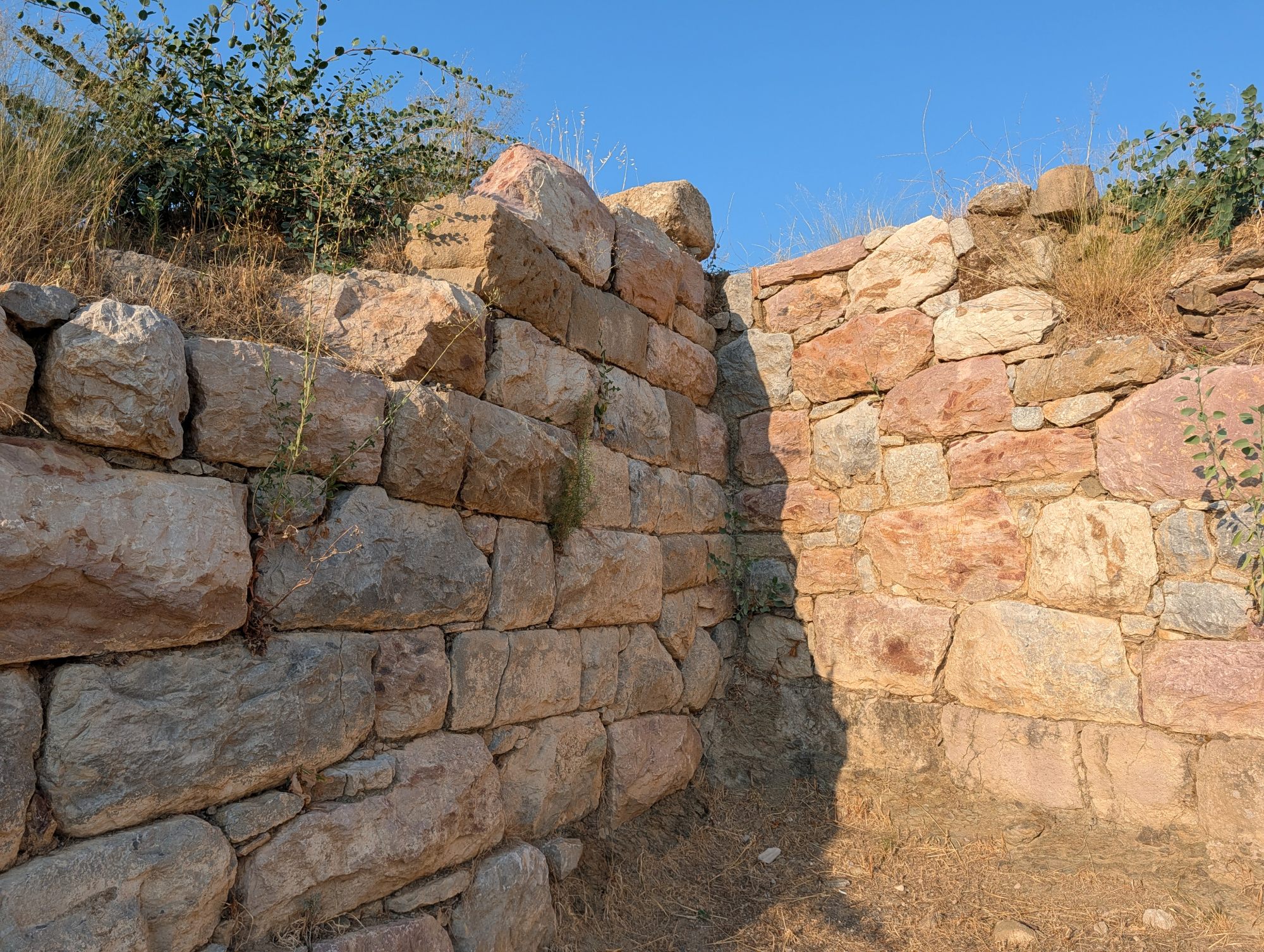
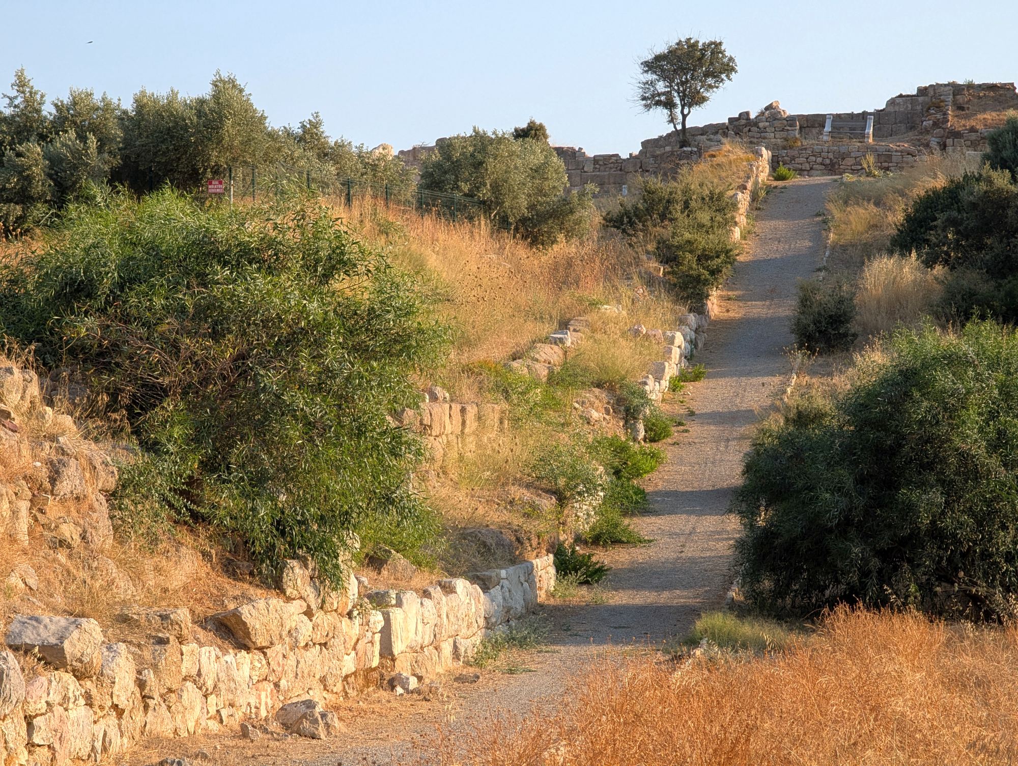
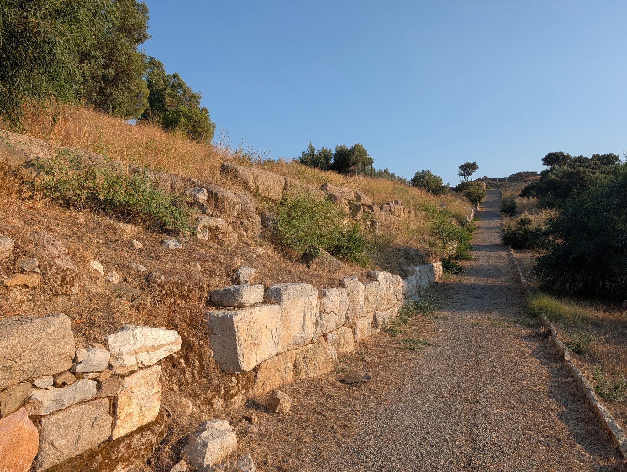
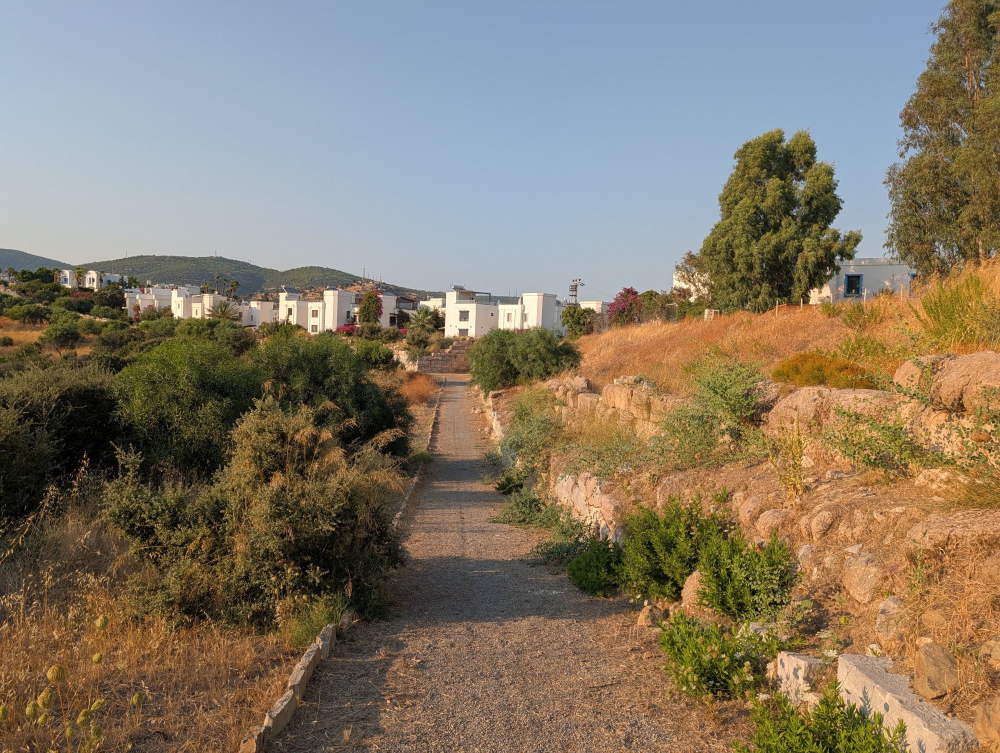
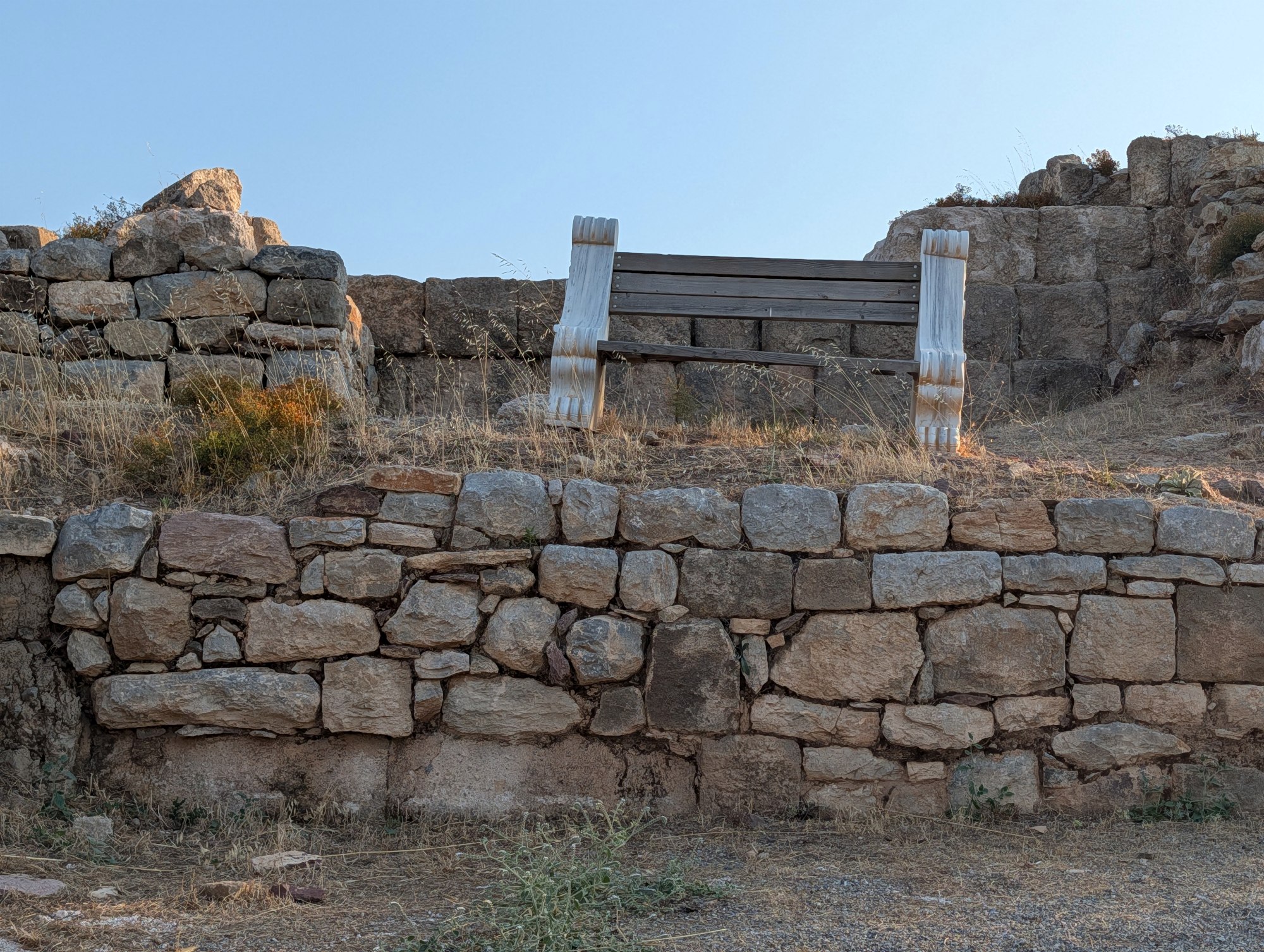
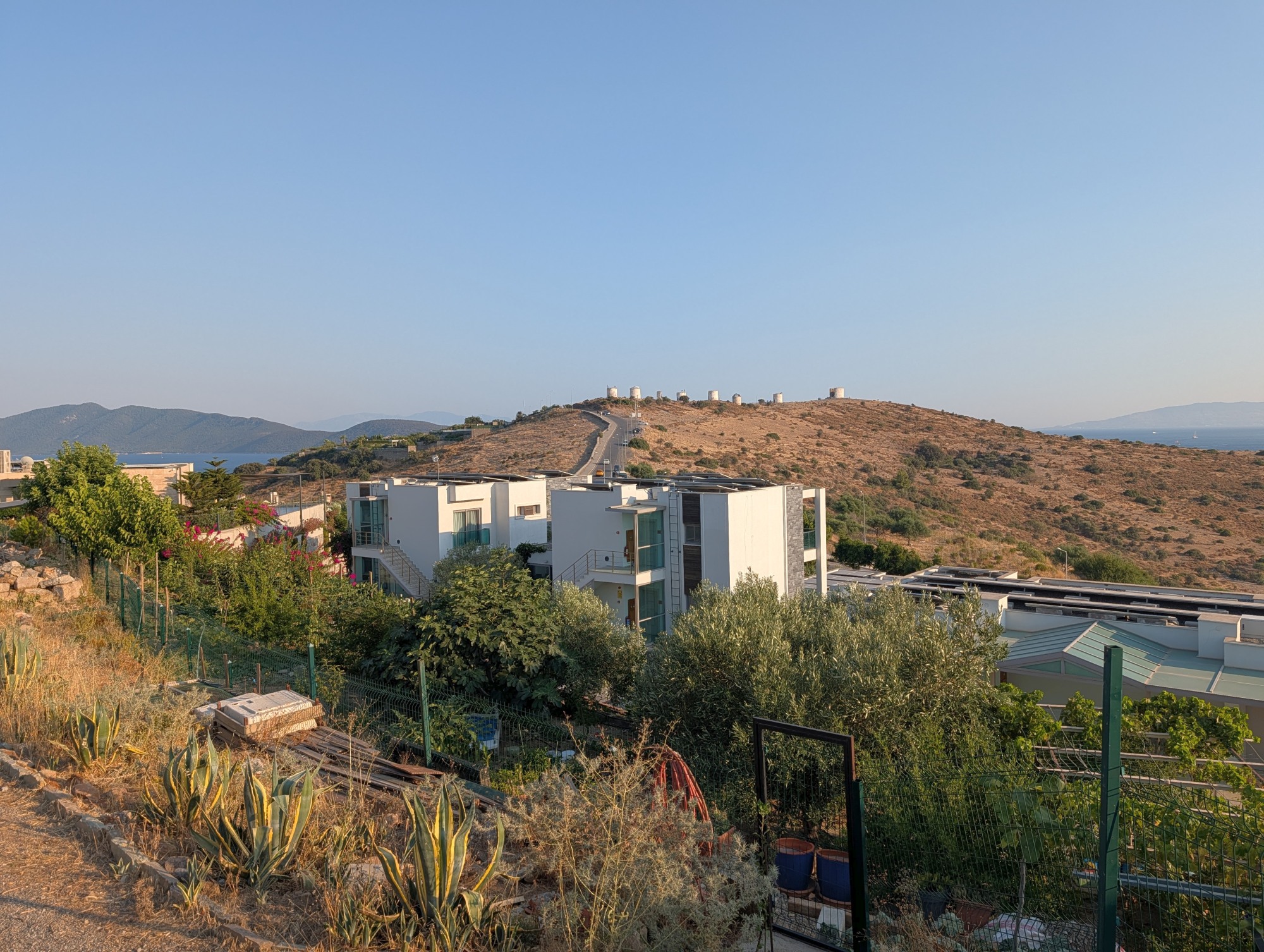
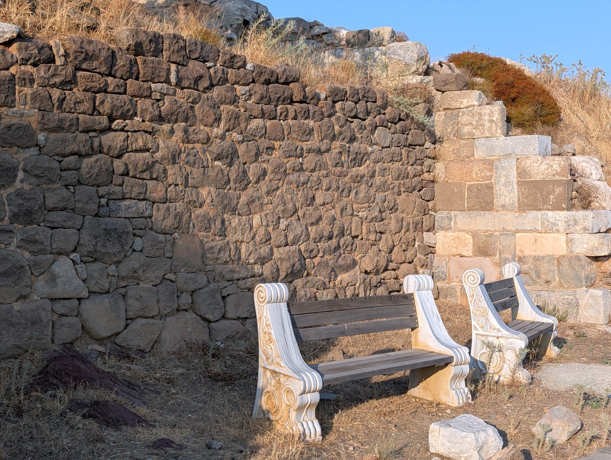
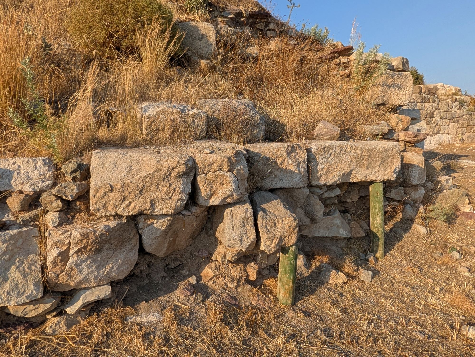
The photographs illustrating this text were taken in July 2026 while documenting the ancient walls of Halicarnassus along the walking route. They are presented in the order in which the photographic documentation was made, beginning at Myndos Gate and proceeding southwards to the final stop at the intersection of Ünlü Sokak and Osman Nuri Bilgin Caddesi.
Much more about ancient Halicarnassus can be found in my "The Secrets of Bodrum and Ancient Caria" guidebook.
- Historical background
- Construction of the city walls
- Alexander the Great's siege in 334 BCE
- Later history – Hellenistic and Roman modifications, subsequent use, destruction, and survival of the fortifications
- Archaeological investigations – discoveries, excavations, restoration, and the work of individual researchers
- The modern walking route
- Bibliography
Historical background
Halicarnassus, the ancient predecessor of modern Bodrum, occupied a strategically important position on the southwestern coast of Asia Minor, in the region known as Caria. Its natural harbour, sheltered peninsula, and proximity to the islands of the southeastern Aegean made it an attractive location for settlement and maritime activity. Although the city became particularly prominent during the fourth century BCE, when it was transformed into the capital of the Carian satrapy under the Hecatomnid dynasty, its history began considerably earlier. The monumental fortifications that survive today belong to a period of political and urban transformation that turned an established coastal settlement into one of the most important cities of southwestern Anatolia.
Halicarnassus before Mausolus
The origins of Halicarnassus are traditionally associated with Greek colonisation, and ancient sources preserve accounts linking its foundation with settlers from Troezen in the Argolid. Pausanias (Description of Greece, 2.30.9) relates that descendants of Aetius, son of Anthas, were sent out from Troezen and founded Halicarnassus and Myndus in Caria. Strabo (Geography, 14.2.16) likewise mentions Anthes and a group of Troezenian settlers among the city's founders.
Halicarnassus subsequently became one of the six members of the Dorian Hexapolis, a religious association of Dorian communities in southwestern Asia Minor. Its members comprised three cities on the island of Rhodes (Lindos, Ialysus, and Cameirus), Cos on the neighbouring island of the same name, and two cities on the Carian mainland (Cnidus and Halicarnassus). Their common religious centre was the sanctuary of Apollo Triopios, situated on the Triopion promontory near Cnidus.
The sanctuary hosted religious celebrations and athletic competitions in honour of Apollo, in which the member cities participated. According to Herodotus (Histories, 1.144), Halicarnassus was eventually excluded from the association after one of its citizens, Agasicles, removed a bronze tripod awarded to him at the games instead of dedicating it to the god. The remaining five cities consequently withdrew Halicarnassus' right to participate in the common religious rites. Although this episode is presented as the explanation for the city's expulsion, it also illustrates the importance of shared religious institutions in defining the identity of the Dorian communities.
The city's Greek connections did not mean that it existed independently of the surrounding Carian world. Halicarnassus developed in a region with a long-established indigenous population, and its cultural character reflected the interaction of Greek and Carian traditions. Its position on the coast also brought it into contact with the wider political and commercial networks of the Aegean.
Halicarnassus was already an established and culturally significant city during the fifth century BCE. It is particularly associated with the historian Herodotus, who was born there around 484 BCE. During the Persian Wars, the city was ruled by the local dynast Artemisia I, who supported Xerxes I and commanded a contingent of ships in the Persian fleet during the campaign against Greece in 480 BCE. Herodotus provides a detailed account of her participation in the expedition and her actions at the Battle of Salamis (Histories, 7.99 and 8.68–69).
Her family continued to rule Halicarnassus during the following decades, until the death of Lygdamis II, her grandson, in approximately the 450s BCE. The city subsequently joined the Delian League and came under Athenian influence. During the Peloponnesian War, the changing political and military circumstances in the eastern Aegean brought further shifts in its position. Following the revolt of Athens' allies in 412 BCE, Halicarnassus became an Athenian naval station, although Persian influence in the region remained considerable and continued to shape the political affairs of Caria.
The rise of the Hecatomnid dynasty
Although Halicarnassus had become an Athenian naval station during the political upheavals of the late fifth century BCE, this did not mark a lasting transfer of sovereignty from Persia to Athens. In 412 BCE, as several of Athens' allies in the eastern Aegean revolted, Athenian influence in the region weakened, allowing the Persian satrap Tissaphernes to reassert Achaemenid authority over Caria. The defeat of Athens in 404 BCE and the subsequent collapse of its maritime empire further consolidated the Persian position in western Asia Minor.
Against this background, the Hecatomnids, a powerful Carian family whose members had established close relations with the Persian royal administration, gradually emerged as the dominant local dynasty. Around 392/391 BCE, Hecatomnus was appointed satrap of Caria, which was organised as a separate administrative province. This appointment marked the beginning of a period during which the family exercised considerable authority over the region and profoundly influenced the subsequent development of Halicarnassus, while remaining formally subordinate to the Achaemenid king.
Hecatomnus established his seat of government at Mylasa (modern Milas), an important inland Carian city and the traditional centre of his family's power. His administration was sufficiently successful for the Persian king Artaxerxes II to entrust him with military responsibilities beyond Caria. In particular, Hecatomnus was assigned the task of suppressing the rebellion of Evagoras, ruler of Salamis on Cyprus, during the 380s BCE. This responsibility demonstrates the confidence placed in him by the Persian court and the growing importance of his family within the imperial administration.
Hecatomnus had several children who played prominent roles in the subsequent history of Caria. His eldest son, Mausolus, succeeded him as satrap after his death in 377/376 BCE. Mausolus was followed by his sister and wife Artemisia II, and subsequently by his brother Idrieus, who was married to another sister, Ada. After Idrieus' death, Ada initially succeeded him, but was displaced by her younger brother Pixodarus in 341 BCE. The latter remained in power until his death in 336/335 BCE, after which the Persian commander Orontopates, who had married one of Pixodarus' daughters, assumed control.
This succession illustrates the unusual political arrangements of the Hecatomnid family, in which women could exercise sovereign authority in their own right, while marriages between close relatives helped preserve dynastic control over Caria. The family's rule combined the institutions and administrative structures of the Persian Empire with the political and cultural traditions of the Greek-speaking cities of the Aegean.
The transformation of Halicarnassus into the Carian capital
Mausolus' accession in 377/376 BCE marked the beginning of a major programme of urban development that fundamentally changed the character of Halicarnassus. Rather than retaining Mylasa as the principal seat of government, he decided to transfer the capital to the coast. The choice was not accidental. Halicarnassus occupied a naturally defensible position on a peninsula, with access to sheltered harbours and the maritime routes of the Aegean. Its location was particularly advantageous in the political circumstances of the fourth century BCE, when the western territories of the Persian Empire were exposed to potential threats from Greek naval powers, especially Athens and Sparta.
The relocation of the capital was accompanied by a comprehensive programme of urban and territorial reorganisation. According to Strabo (Geography, 13.1.59), Mausolus incorporated six of eight settlements traditionally attributed to the Leleges into Halicarnassus, leaving Myndus and Syangela outside this process. This reorganisation is generally described as synoecism, a term referring to the political and, in some cases, physical unification of previously separate communities into a single urban entity.
The Leleges were described by ancient Greek writers as an indigenous people of southwestern Anatolia, supposedly inhabiting Caria before the arrival of the Greeks and the emergence of the historical Carians. However, their precise identity remains uncertain, and modern archaeological research has found little evidence for a distinctively Lelegian material culture. The identification of the settlements mentioned by Strabo with particular archaeological sites therefore remains partly dependent on ancient geographical traditions. Nevertheless, the synoecism attributed to Mausolus represents an important stage in the development of Halicarnassus, reflecting the expansion of its political territory and the consolidation of the surrounding communities under the authority of the new Carian capital.
The new capital was conceived as a monumental royal city, combining defensive installations with administrative, religious, and public buildings. Its development included the construction of a large defensive circuit, the organisation of its harbours, the establishment of a royal residence, and the creation of monumental architectural complexes. Among the most remarkable was the Mausoleum, the monumental tomb of Mausolus, which occupied a prominent position within the new urban layout. According to the ancient literary tradition, his wife and successor Artemisia II was responsible for commissioning the monument in his memory and ensuring its completion after his death in 353 BCE. However, its central position within the city's plan and its architectural integration into Mausolus' building programme suggest that the project had already been conceived, and probably begun, during his lifetime. Construction continued after the deaths of both rulers and was completed around 350 BCE. The Mausoleum subsequently became one of the Seven Wonders of the Ancient World.
The transformation of Halicarnassus was also part of a broader programme of Hecatomnid patronage throughout Caria. The ruling family supported the construction and renovation of sanctuaries, including the important sanctuary of Zeus at Labraunda, while promoting its political authority through inscriptions, coinage, and monumental architecture. The Hecatomnids made extensive use of Greek artistic forms and architectural traditions, employing Greek craftsmen and adopting Greek as the language of many official inscriptions. Nevertheless, their political authority remained firmly embedded within the administrative structures of the Achaemenid Empire. Their cultural policies should therefore be understood not simply as an expression of Hellenisation, but also as a means of presenting their rule to the diverse populations of Caria and extending their influence across the Aegean.
The new capital consequently became an important political, economic, and military centre. Its impressive defensive system was an essential component of this transformation, protecting the enlarged urban area while reflecting the wealth and ambitions of the Hecatomnid rulers. The fortifications of Halicarnassus were therefore not an isolated military undertaking but part of a much wider project that reshaped the city and established its position among the leading urban centres of fourth-century BCE Asia Minor.
Construction of the city walls
Chronology and general extent
The construction of the defensive system of Halicarnassus formed an essential part of the extensive urban development programme undertaken by Mausolus after he transferred the capital of Caria from Mylasa to the coastal city around 370 BCE. The new fortifications were designed to protect the enlarged capital and its harbours, incorporating the surrounding hills and strategically important elevated positions within a continuous defensive circuit. Their scale reflects both the military importance of Halicarnassus and the considerable resources available to the Hecatomnid rulers.
The construction of the walls is generally dated to approximately 370 BCE, during the reign of Mausolus, although a more precise chronology remains difficult to establish. Poul Pedersen, whose investigations have provided the most comprehensive modern study of the fortifications, considers the surviving remains to belong essentially to the defensive system constructed under Mausolus and subsequently attacked by Alexander the Great in 334 BCE. The walls were therefore already in existence when the Macedonian army besieged Halicarnassus, and their effectiveness became an important factor in the course of the campaign.
The defensive circuit extended for more than 7 km, making it one of the most substantial fortification systems in fourth-century BCE Caria. It enclosed an area estimated at approximately 220 hectares, including the principal urban centre, the harbours, and the surrounding heights. Rather than following a compact line around the densely inhabited part of the settlement, the fortifications were laid out to take advantage of the natural topography. Their course extended from the Zephyrion peninsula in the southeast, continued around the hills overlooking the city, and incorporated the prominent elevation of Göktepe on the northern outskirts before turning south-west towards the Salmakis promontory, on the western side of the bay.
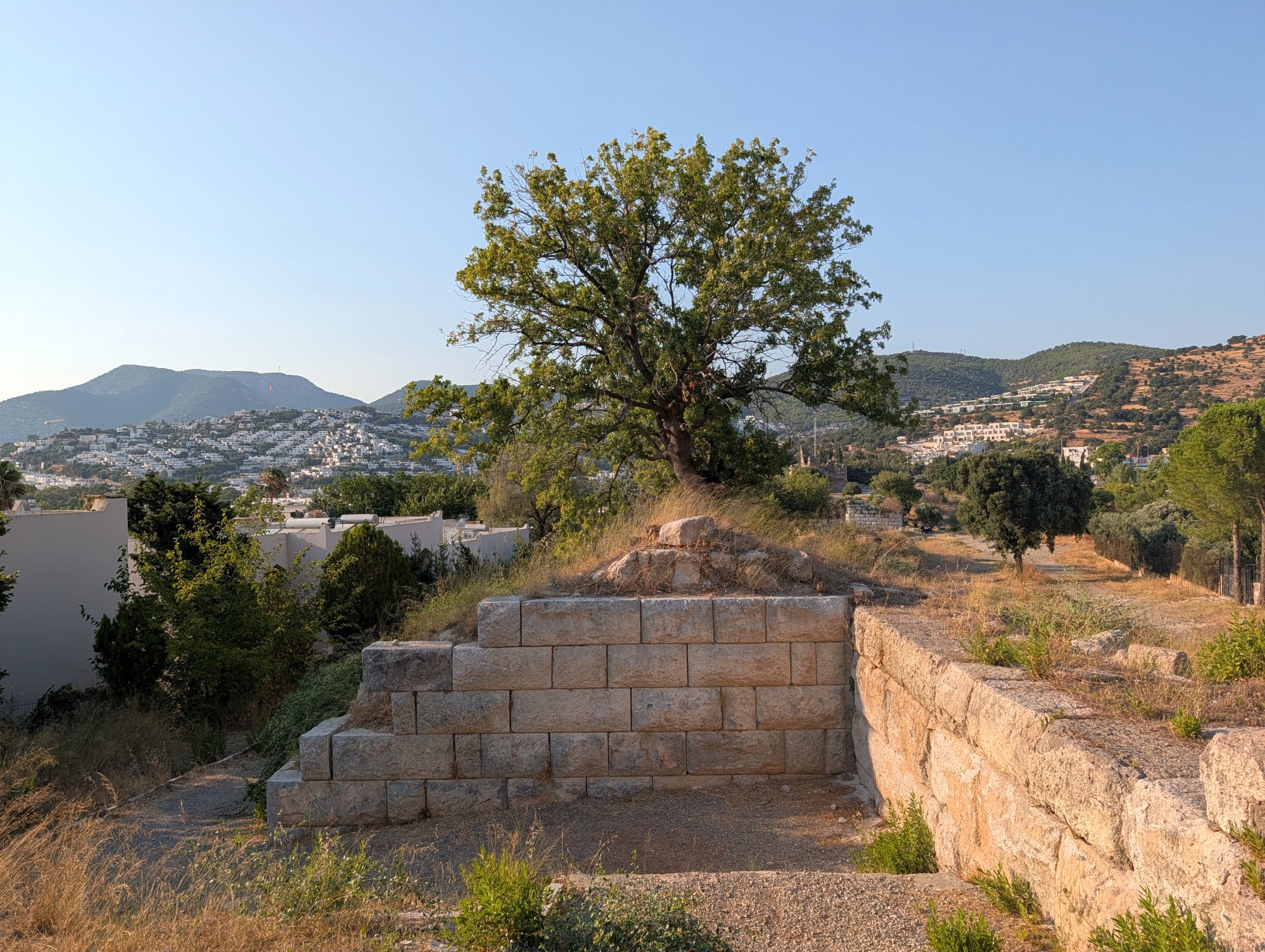
The defensive circuit of Halicarnassus was adapted to the surrounding terrain, making use of natural ridges, steep slopes, and elevated ground as integral parts of the city's defences. Rather than relying exclusively on massive artificial fortifications, its architects incorporated the landscape into the defensive system, enclosing not only the principal urban centre but also the surrounding heights and areas of open ground. This arrangement provided a broad defensive perimeter while reducing the number of vulnerable approaches to the city.
The precise layout of the earlier settlement remains poorly understood, as much of ancient Halicarnassus lies beneath modern Bodrum. Nevertheless, the surviving walls demonstrate the scale of the transformation undertaken under Mausolus. The new fortification system was not merely an enlargement of an existing urban enclosure but an integral element of the planning of the Hecatomnid capital.
Organisation of the defensive system
The fortifications consisted of a continuous curtain wall – the main defensive wall connecting the towers and other fortified structures – reinforced by numerous towers, fortified positions, and additional defensive installations. Their arrangement reflected the varied topography of the peninsula, with particularly strong defensive positions established at important heights and along exposed approaches to the city.
At least four separate fortified strongholds or fortresses were incorporated into the defensive circuit. These installations provided additional protection for strategically important locations and strengthened the overall system. One particularly significant position was situated on Göktepe, where archaeological investigations confirmed the existence of a small fortress with at least one tower. Its northern side was protected by a defensive ditch cut into the soft rock, while the steep southern slope provided a natural obstacle to attackers. Other fortified extensions along the western section of the walls include two projecting bastion-like structures, although their precise construction and function remain incompletely understood.
The main defensive line was further protected by a ditch running in front of the wall. Where the terrain was too steep for a conventional ditch, the architects employed an escarpment, creating an additional obstacle approximately 5–10 m in front of the fortifications. This arrangement forced approaching attackers to cross exposed ground before reaching the walls and complicated attempts to bring siege equipment close to the defensive structures. The combination of towers, fortified strongholds, ditches, and natural slopes created a coordinated defensive system rather than a simple continuous barrier.
The ancient sources provide important evidence for the organisation of the entrances. Two principal gates are known: Myndos Gate on the western side, facing the ancient city of Myndos, and Mylasa Gate on the eastern side, facing inland towards Mylasa, the former Carian capital. The latter has not yet been securely identified archaeologically. The Myndos Gate, also known as the Tripylon, formed the most elaborate surviving entrance complex. Its three-part arrangement, with a central passage flanked by defensive towers, made it a particularly formidable point in the western defences. The existence of the two principal entrances is supported by Arrian's account of Alexander the Great's siege, which describes the approaches to the city and the military operations around its gates.
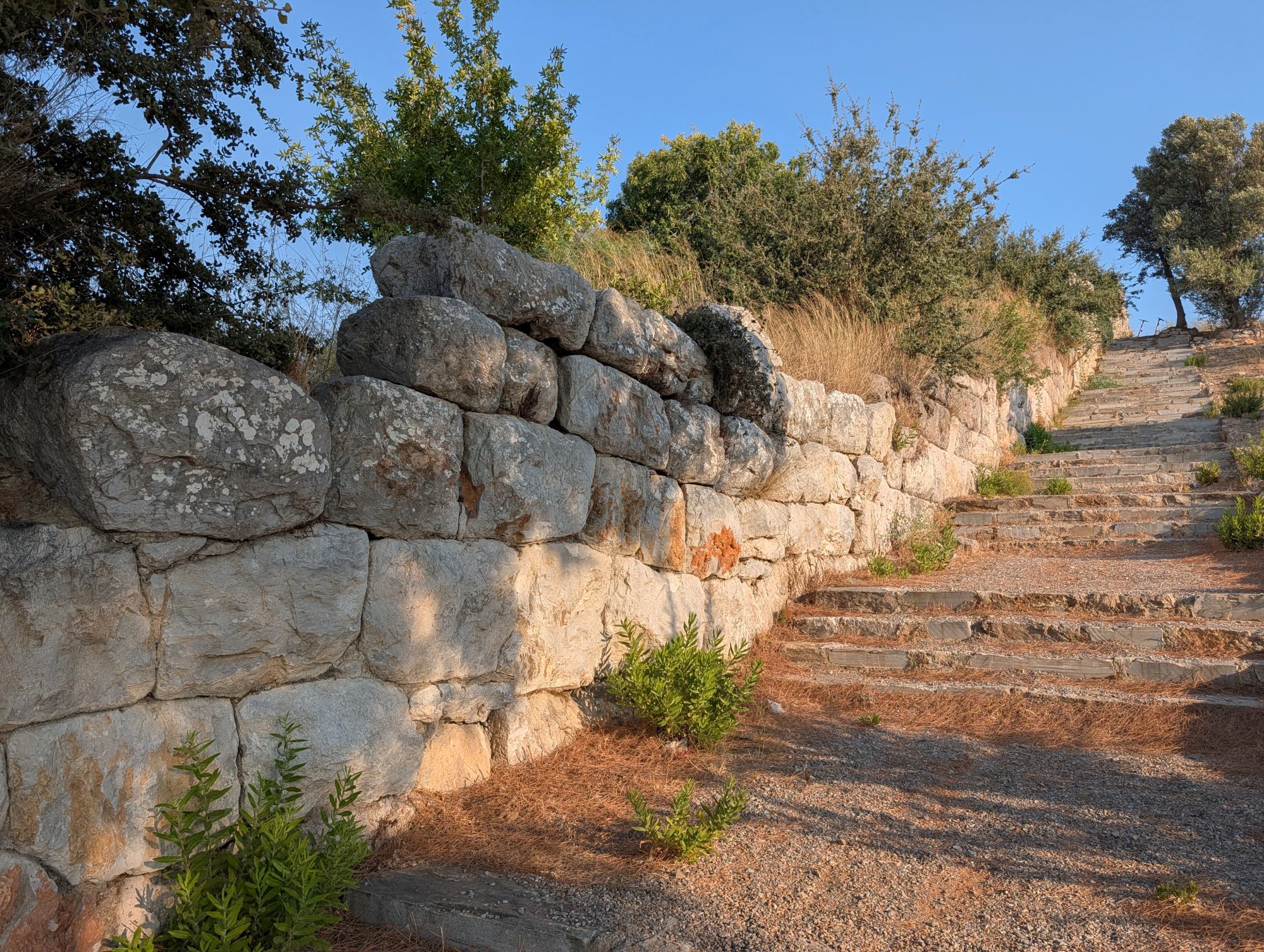
Archaeological investigations have also identified smaller entrances within the defensive circuit. One of these, known as Pedasa Gate, was situated in the northeastern extension of the walls. It was flanked by two towers, and a mountain road leading from it ran northwards in the direction of the ancient settlement of Pedasa. Another smaller gate was identified near the eastern tower. These secondary entrances provided access to the outskirts of the city and the surrounding countryside, complementing the two principal gates.
Building materials and masonry techniques
One of the most interesting characteristics of the Halicarnassus fortifications is the considerable variation in their masonry. The appearance and construction of individual sections differ according to the geological character of the available building stone. According to Pedersen, the stone was generally quarried close to the sections of the wall where it was used, although particularly important towers sometimes employed materials obtained from other sources. These differences should therefore not automatically be interpreted as evidence of separate construction periods.
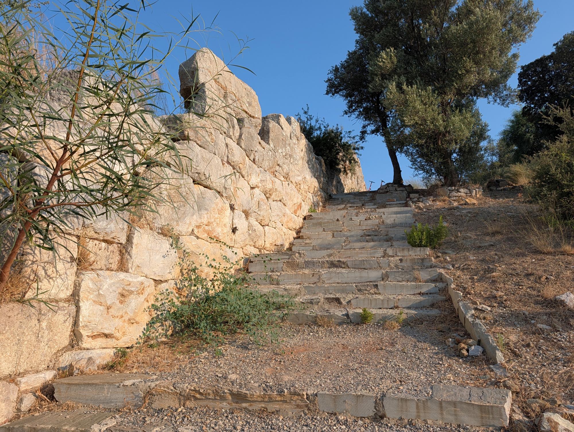
The investigations carried out by the Turkish-Danish archaeological team in 2019 provide a particularly useful description of the western section of the circuit. The stretches approaching Myndos Gate were constructed primarily of hard limestone arranged in polygonal masonry. This technique employed irregularly shaped stone blocks fitted together to create a solid and relatively continuous structure. The surviving examples demonstrate the substantial workmanship involved in adapting the individual blocks to one another and to the natural contours of the terrain.
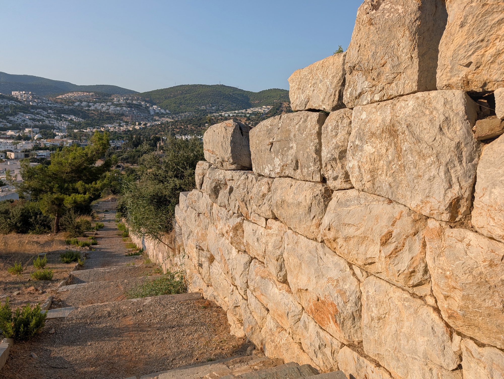
A few hundred metres away of Myndos Gate, the construction material changes noticeably. From this point the main wall was built predominantly from large, regularly cut blocks of soft, white andesite. Most of the towers along this stretch, however, were faced with blocks of harder, reddish andesite. The contrast between the materials used for the curtain wall and the towers is particularly striking and illustrates the selective use of different types of stone within the same defensive system.
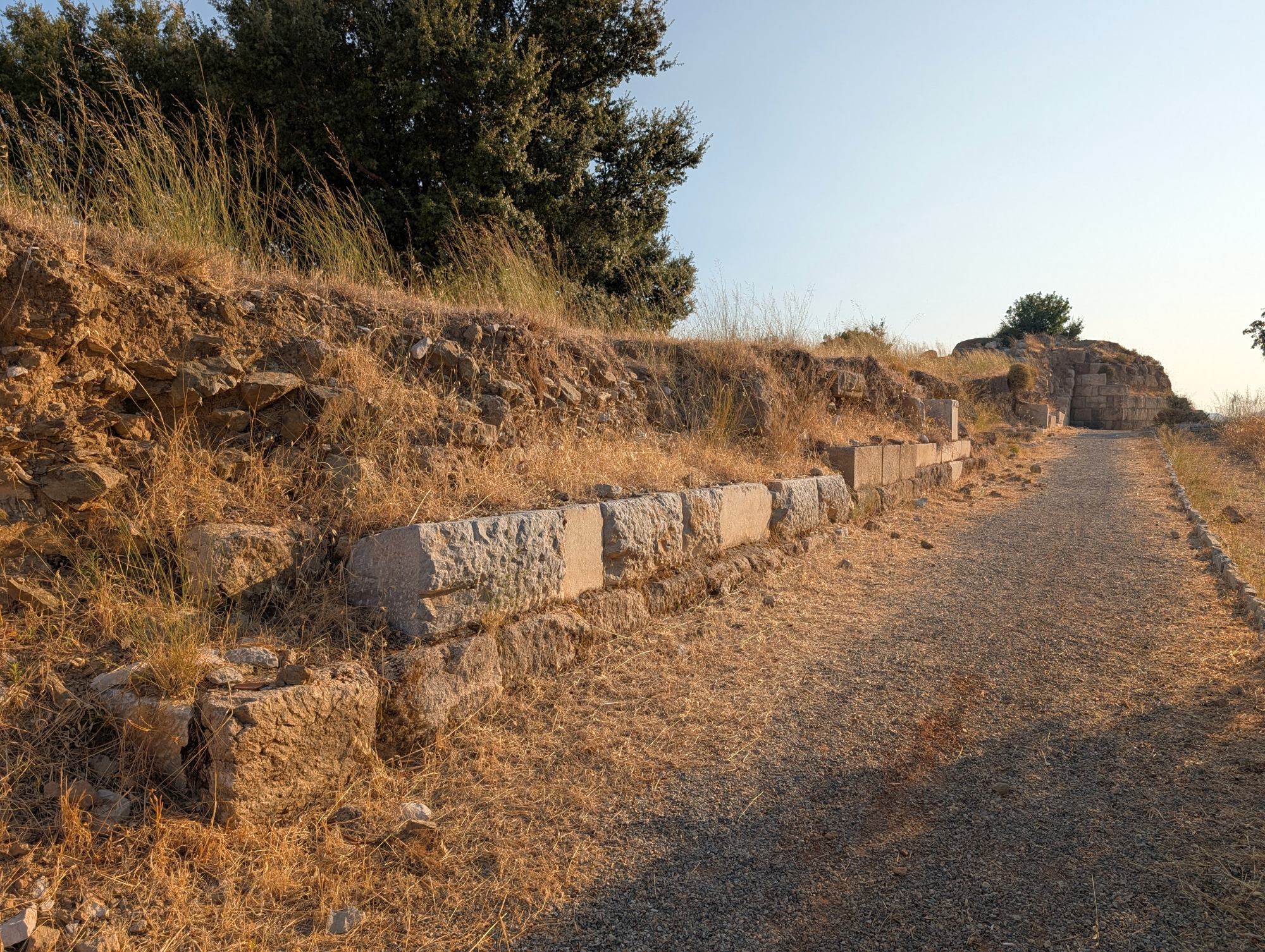
The construction of the walls also introduced technical features that subsequently became influential in the development of fortifications elsewhere in Asia Minor. Particularly noteworthy is the so-called double corner bond, a method of arranging masonry at corners in which the blocks are interlocked in a distinctive pattern. According to Pedersen, this technique was apparently developed by the craftsmen working for Mausolus and subsequently became a characteristic feature of numerous fortifications in southwestern and western Asia Minor.
Examples of this construction method have been identified at Myndos, Theangela, Alinda, Alabanda, Latmos, Herakleia, Knidos, Kaunos, Labraunda, Ephesus, Samos, Pergamon, and Assos. Its continued use until approximately the middle of the second century BCE demonstrates the lasting influence of the architectural and engineering traditions developed during the Hecatomnid period. The fortifications of Halicarnassus therefore occupy an important position in the history of ancient military architecture, not only because of their considerable scale but also because of the technical innovations associated with their construction.
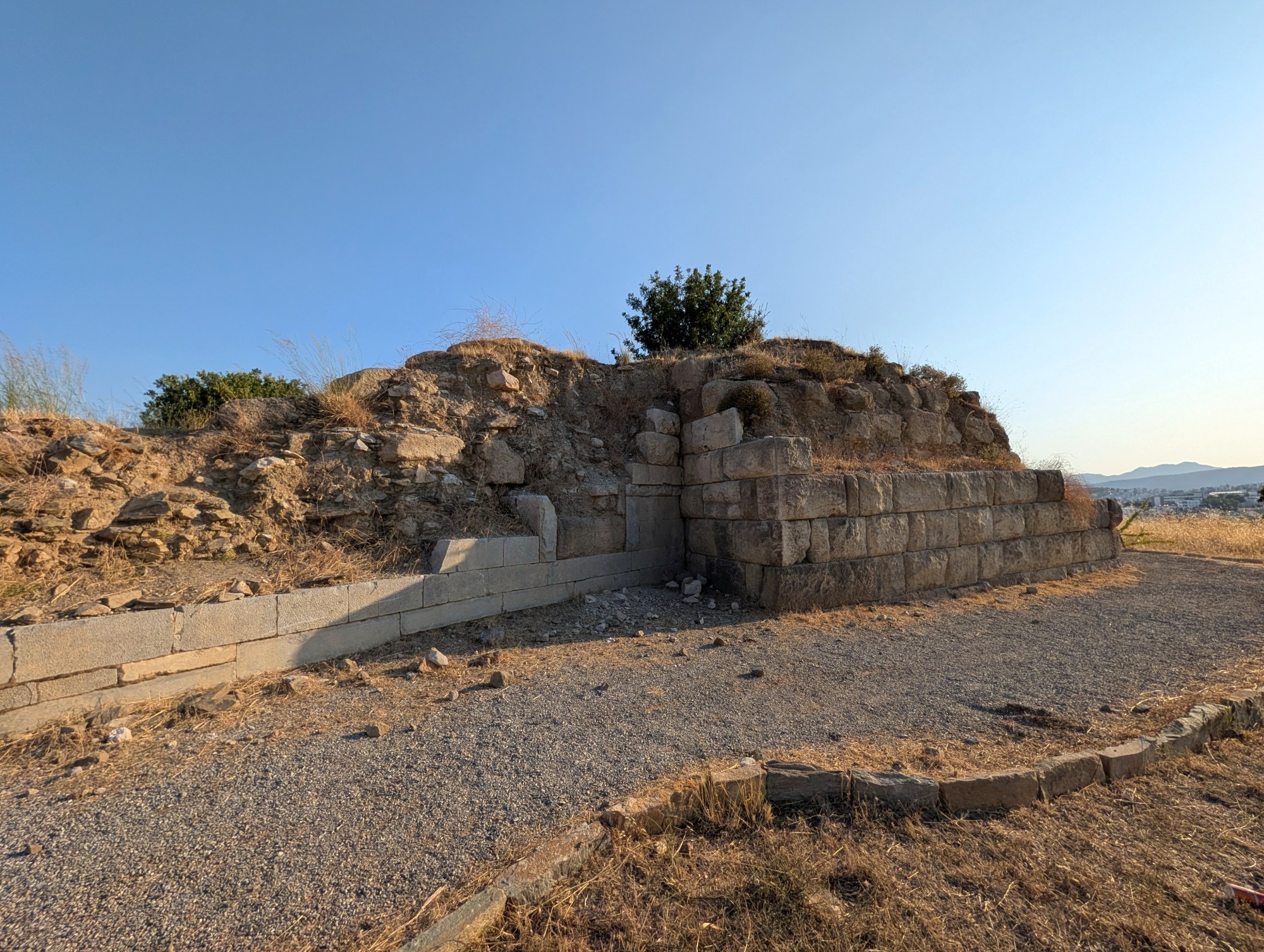
The present condition of the walls varies considerably. Certain stretches survive several metres in height, while elsewhere the original masonry has disappeared almost completely, leaving only a low ridge or traces of the defensive line in the landscape. This uneven preservation reflects both the different durability of the building materials and the subsequent history of the city. In particular, sections of the fortifications closer to the harbour were dismantled, probably to provide building material for the construction of the Castle of St. Peter and the Ottoman Arsenal.
Chronology and construction phases
Although the fortifications are generally attributed to Mausolus, the question of whether the entire circuit was erected during a single building campaign deserves consideration. The considerable differences in masonry, building materials, and architectural details might initially suggest successive phases of construction. However, the available archaeological evidence does not necessarily support this interpretation.
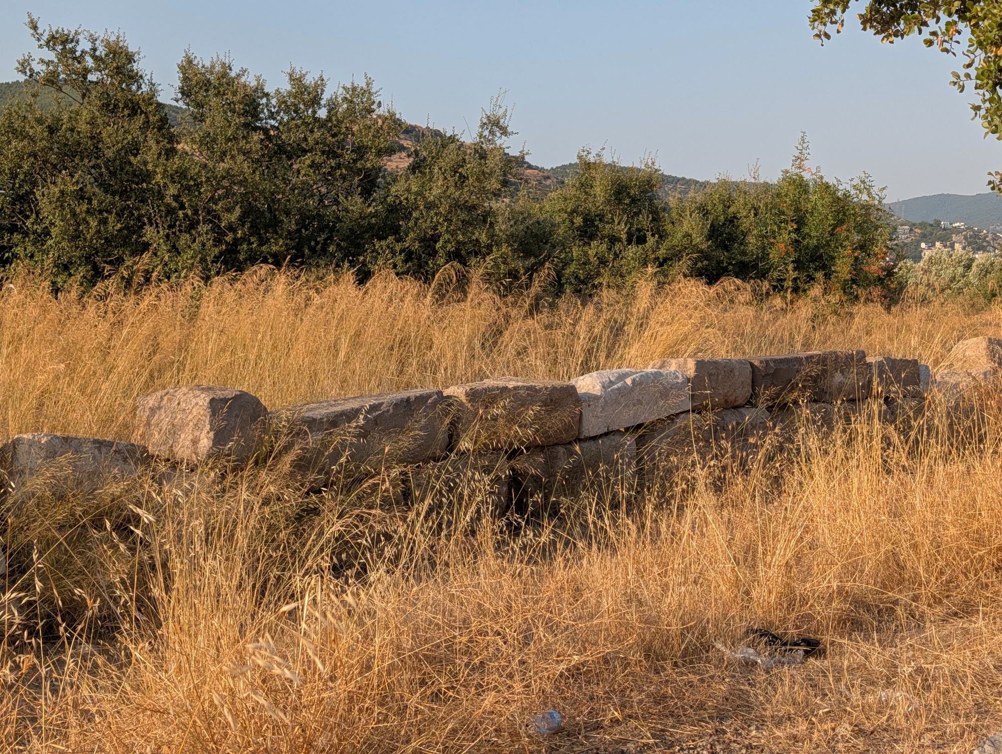
Pedersen argues that the variations in masonry are largely explained by the availability and character of local building materials rather than by substantial differences in the dates of construction. The overall coherence of the defensive system, including its towers and associated installations, supports the interpretation that the walls were conceived as a coordinated project. A study of the circuit has also drawn attention to the consistency of its planning and construction, despite variations in the individual sections.
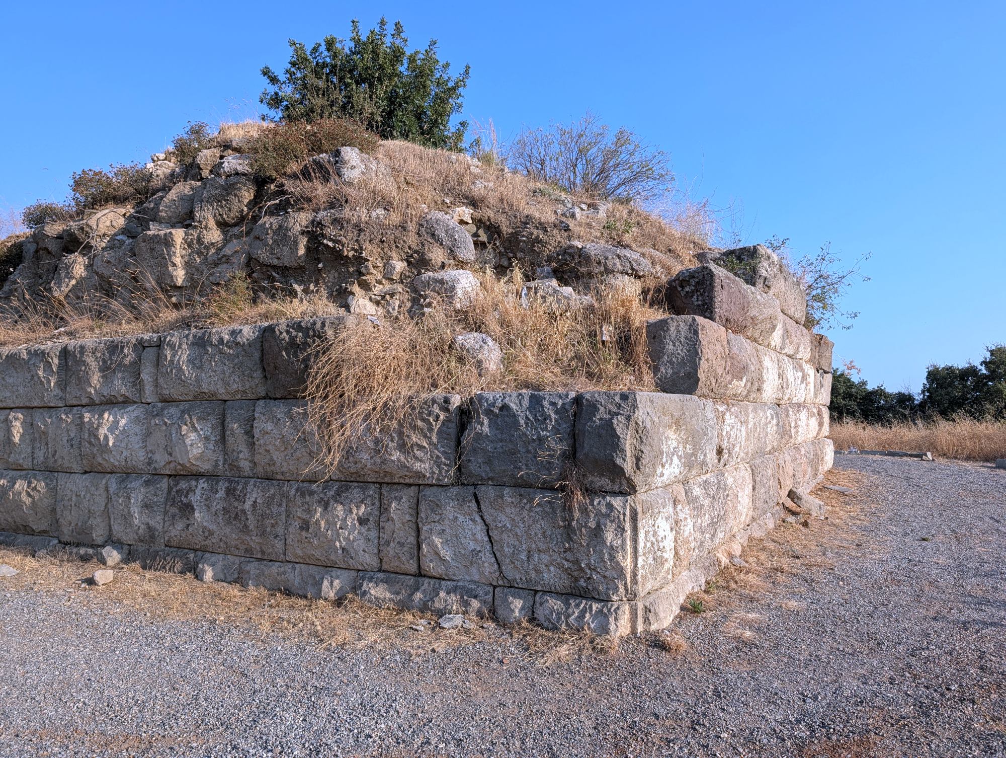
Archaeological investigations have nevertheless revealed evidence of later activity in the vicinity of the fortifications. Excavations undertaken in connection with the restoration project of 1998–2000 produced pottery and other finds from different periods. Material recovered from the northeastern extension included some fourth-century BCE pottery, potentially associated with the original construction, but much of the assemblage was dated to the second century BCE. This indicates subsequent occupation and activity in the area, although it does not by itself demonstrate that the defensive circuit underwent major rebuilding at that time.
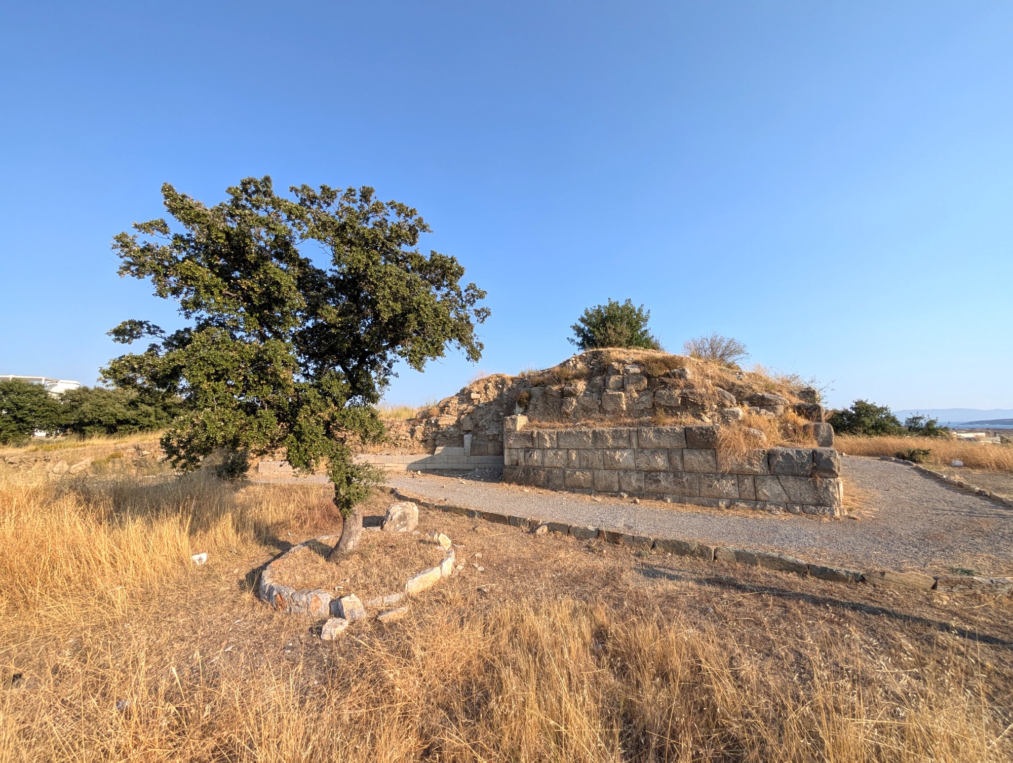
The most important historical event in the early history of the fortifications was the siege of Halicarnassus by Alexander the Great in 334 BCE. The accounts of Arrian and Diodorus Siculus provide detailed descriptions of the defensive arrangements and the fighting around the city. These events will be examined separately, as they offer an opportunity to understand how the fortifications functioned under actual military conditions.
Alexander the Great's siege in 334 BCE
The siege of Halicarnassus in 334 BCE provides an unusually detailed account of the city's defences in action. The principal ancient narratives are those of Arrian (Anabasis of Alexander 1.20–23) and Diodorus Siculus (Library of History 17.24–27). Although they differ in some details and in the way they describe the final stages of the siege, both record the use of siege engines, repeated sorties by the defenders, the breaching of the city walls, and the construction of additional defensive barriers behind damaged sections. Their accounts are particularly valuable because they can be compared with the surviving fortifications, including the ditches and artificial slopes that formed part of the outer defensive system.
The siege is especially significant for the story of the fortifications because it shows that the walls were not simply a monumental boundary around Mausolus' new capital. Their towers, gates, ditches, and secondary defensive positions were tested in a major military operation. One important point for the interpretation is that the surviving fortifications can be compared with the ancient accounts, but individual breaches and repairs should not automatically be identified as physical traces of the siege unless the archaeological evidence supports that identification.
The siege operations
Halicarnassus became one of the principal centres of Achaemenid Persian resistance to Alexander the Great's invasion of Asia Minor in 334 BCE. After the Persian defeat at the Granicus River and the capture of Miletus, a considerable force of Persian troops and Greek mercenaries concentrated in the city. The defence was organised by Memnon of Rhodes, who had been appointed commander of the Persian forces in the region, and Orontobates, the Persian-appointed ruler of Caria. The presence of the Persian fleet in the harbour further strengthened the defenders, who could receive support by sea. Diodorus Siculus, in his Library of History (Book XVII, Chapter 23, sections 4–6), describes Halicarnassus as the largest city in Caria and emphasises the strength of its internal fortified positions.
Alexander first approached the eastern side of the city, near the gate leading towards Mylasa, where a skirmish took place between his troops and the defenders. A few days later, he inspected the western defences in the direction of Myndos, hoping to capture the neighbouring town by a surprise attack. The attempt to take Myndos failed: the expected signal of surrender was not given, and Alexander had neither siege engines nor ladders with him. His men managed to bring down one of the towers by undermining it, but this did not create a breach in the wall. The defenders were reinforced by troops arriving from Halicarnassus by sea, forcing Alexander to abandon the operation and concentrate on the siege of the Halicarnassus itself. Arrian recounts this unsuccessful operation in Anabasis of Alexander (Book I, Chapter 20).
The first major obstacle encountered by the Macedonians was the defensive ditch in front of the walls. Arrian gives its dimensions as approximately thirty cubits in width and fifteen in depth, equivalent to roughly 13.5 m by 6.75 m. Alexander ordered his men to fill it with earth so that the siege towers and other heavy machinery could be brought close enough to attack the fortifications. The work was carried out under protective shelters, while the defenders attempted to disrupt the operation with night-time sorties and attacks on the siege equipment. Diodorus also describes the Macedonians filling the trenches and using battering rams against the towers and the stretches of wall connecting them. The defenders responded with missiles launched from the walls and repeated attempts to set fire to the attacking machinery. These operations demonstrate the importance of the outer defensive ditch: it was not merely an obstacle to infantry but also prevented heavy siege engines from approaching the walls (Arrian, Anabasis of Alexander 1.21; Diodorus Siculus, Library of History 17.24.4–6).
Despite the defenders' resistance, the Macedonian siege engines eventually caused substantial damage. According to Arrian, two towers and the intervening section of wall had already collapsed when two Macedonian soldiers from the contingent commanded by Perdiccas launched an unauthorised attack against the defences. The breach offered a potential point of entry, but the defenders had rapidly constructed a crescent-shaped brick wall behind the damaged section. This temporary inner barrier prevented the Macedonians from exploiting the opening and provided the defenders with a new position from which to resist further attacks. A third tower had also been badly weakened, while the two surviving towers at either end of the breached section continued to provide covering fire against the attackers. Diodorus likewise describes the destruction of two towers and the intervening stretches of wall, followed by the construction of a secondary barrier behind the damaged defences (Anabasis of Alexander, Book I, Chapter 21; Library of History, Book XVII, Chapter 25).
The defenders' attempts to regain the initiative included several large-scale sorties. One particularly fierce engagement took place when troops emerged simultaneously through the breach and the Triple Gate, the latter being the Myndos Gate. The first group attacked the Macedonian siege machinery with torches and other combustible materials, while the second attempted to break through the Macedonian positions near the gate. The attack was repulsed, and the retreat became disastrous when a narrow bridge across the defensive ditch collapsed under the weight of the fleeing soldiers. Others were trapped outside the gate when it was closed prematurely, leaving them exposed to the pursuing Macedonians. Arrian's account illustrates how the ditch, bridge, gate, and defensive towers functioned together as parts of an integrated system. Even when the outer wall had been breached, the remaining obstacles continued to complicate both an assault and the defenders' own movements (Anabasis of Alexander, Book I, Chapter 22).
The fighting continued, with further attempts by the defenders to destroy the Macedonian siege engines. Diodorus describes a particularly dangerous sortie led by the Athenian mercenary commander Ephialtes, who brought out a force of approximately 2,000 picked soldiers. Some carried torches to set fire to the siege machinery, while the remainder attacked the Macedonian troops. The defenders initially gained the advantage, supported by missiles from a newly constructed wooden tower equipped with catapults. The intervention of experienced Macedonian veterans eventually turned the battle in Alexander's favour. According to Diodorus, the defenders were forced back into the city, and the Persian commanders subsequently decided to abandon it rather than continue the increasingly difficult defence (Library of History, Book XVII, Chapters 26–27).
The fall of the city and the destruction of the fortifications
The final stage of the siege is described somewhat differently by Arrian and Diodorus. Arrian reports that the Persian commanders, Orontobates and Memnon, concluded that the city could no longer be held. During the night, they set fire to a large wooden tower erected to resist the Macedonian siege engines, as well as to the weapons stores and nearby houses. The resulting fire spread through parts of the settlement. Some of the defenders withdrew to a fortified position on an island near the city, while others took refuge in the fortress of Salmacis. The precise location of the island stronghold is uncertain, and it should not automatically be identified with Arconnesus, traditionally associated with modern Kara Ada, as this identification has been questioned by modern scholars. Alexander entered the city but decided not to besiege these remaining positions, judging that their capture would require considerable time. He subsequently ordered the city to be razed and left a garrison of 3,000 infantry and 200 cavalry under Ptolemy (Arrian, Anabasis 1.23).
Diodorus gives a related but not identical account. He states that the Persian commanders decided to evacuate the city, taking their remaining troops and supplies to the island of Cos while leaving their strongest soldiers in the acropolis. Alexander then occupied the abandoned settlement, razed it, and surrounded the citadel with a substantial wall and ditch. Although the accounts differ in their descriptions of the defenders' withdrawal and the strongholds they occupied, both emphasise that the capture of the main urban area did not immediately bring every fortified position under Macedonian control. The surviving strongholds continued to require attention after the principal city had fallen.
The ancient descriptions of the city's destruction should nevertheless be treated with some caution. The statements that Halicarnassus was razed might suggest that the settlement was completely destroyed, its population dispersed, and its former importance permanently lost. However, the accounts of Arrian and Diodorus primarily describe the military events surrounding the capture of the city, the destruction of parts of its fortifications, and the burning and demolition ordered by Alexander. They do not provide a detailed account of what happened to the settlement in the years that followed. In particular, the destruction of the main urban area should not be confused with the complete elimination of the city's population or the permanent abandonment of its territory.
The course of the siege itself suggests that the destruction was not necessarily uniform. The Macedonians captured the principal urban area, but several fortified positions remained in the hands of the defenders after the Persian commanders withdrew. These included the strongholds at Salmacis and on the island near the city, which Alexander did not immediately attempt to capture. The distinction between the city and its separate fortified positions is important: the fall of the main settlement did not mean that every part of the defensive system had been taken by assault or destroyed in the same operation. Moreover, the ancient accounts indicate that Alexander ordered the demolition of the city after its capture, but do not establish that every building, monument, or section of the fortifications was systematically levelled.
The archaeological picture is also more complex than the impression created by the literary descriptions. Halicarnassus was not a settlement whose history ended with the events of 334 BCE. Research conducted in recent decades has provided a better understanding of its subsequent development, including the Hellenistic and Roman periods, and has challenged the traditional assumption that the city never recovered from Alexander's campaign. At the same time, the modern town of Bodrum covers much of the ancient settlement, severely restricting the areas available for archaeological investigation. Consequently, the absence of extensive excavated evidence for particular phases cannot automatically be interpreted as evidence of abandonment. The extent of the destruction, the speed of recovery, and the degree of continuity in different parts of the city must therefore be considered separately rather than reduced to a simple narrative of destruction followed by decline.
Archaeological evidence
The surviving fortifications provide important material context for the ancient accounts. Particularly significant are the remains of the defensive ditches and artificial escarpments, which have been documented at several points along the circuit. Poul Pedersen's study of these features compares the archaeological evidence with the descriptions of Alexander's siege, showing how the obstacles were designed to prevent siege towers and battering rams from being brought close to the walls. The ditch in front of Myndos Gate is especially relevant: its surviving remains demonstrate the substantial scale of the outer defences described by Arrian and Diodorus. The archaeological evidence therefore confirms that the western approach to the city was protected by more than the masonry of the gate and curtain wall alone.
The excavations conducted in connection with the restoration of Myndos Gate and the city walls between 1998 and 2000 also produced substantial quantities of pottery and other material. These finds were re-examined during the Turkish-Danish archaeological team's 2019 campaign. The ceramic evidence from the Myndos Gate area is dominated by Hellenistic and later material, while only a small number of finds predate the construction of the city wall. The pottery therefore provides useful evidence for the subsequent use of the area, but does not in itself establish the precise location or extent of the damage caused during the siege. Similarly, the surviving breaches and variations in masonry should not automatically be attributed to Alexander's attack without more specific archaeological dating.
It is therefore important to distinguish between what the ancient narratives describe and what can be demonstrated archaeologically. The remains of the walls, towers, and outer ditches correspond closely to the defensive arrangements recorded by Arrian and Diodorus, and the overall construction of the circuit belongs to the period preceding the siege. However, the exact sections breached by Alexander's engines, the temporary brick barriers erected by the defenders, and the places where the fighting was most intense have not all been securely identified among the surviving remains. The siege is consequently best understood through the combination of the literary accounts and the archaeological study of the defensive system, rather than through the attribution of individual damaged sections to specific events in 334 BCE.
Later history – Hellenistic and Roman modifications, subsequent use, destruction, and survival of the fortifications
Hellenistic modifications and repairs
The siege of Halicarnassus by Alexander the Great in 334 BCE marked an important turning point in the history of its defensive system. The Macedonian forces succeeded in demolishing and breaching sections of the city walls with their siege engines, but the defenders initially managed to prevent them from gaining control of the entire city by constructing an additional defensive wall behind the damaged sections. After several fierce engagements and unsuccessful attempts to resist the Macedonian assault, the Persian commanders, Memnon of Rhodes and Orontobates, eventually concluded that the city could no longer be held. During the night, they set fire to their siege equipment, weapons stores, and nearby buildings, and withdrew with their forces to the fortified strongholds of Salmacis and a nearby island, while other troops and supplies were transferred to Cos. Alexander subsequently occupied the main urban area, but the remaining citadels continued to resist, requiring a separate blockade. The siege thus demonstrated both the considerable strength of the Hekatomnid fortifications and the vulnerability of their outer defensive circuit to sustained attacks employing increasingly sophisticated siege machinery. The damage inflicted during the siege must also have necessitated substantial repair work if the surviving sections of the defensive system were to remain effective.
The fortifications continued to be used during the Hellenistic period, although their subsequent history is not particularly well documented in the ancient literary sources. Archaeological examination suggests that the walls underwent several phases of repair and modification. In particular, some sections of the curtain walls display masonry characteristics that may belong to later interventions, while certain towers appear to have been strengthened or added during the early Hellenistic period. The most notable examples are the substantial towers of the Myndos Gate, whose robust construction has been interpreted as an adaptation to the increasingly sophisticated siege techniques and artillery employed by Hellenistic armies. Lars Karlsson and A. W. Lawrence have both associated these structures with the development of Hellenistic military architecture. However, the precise chronology of individual alterations remains uncertain, as the archaeological evidence does not yet allow the different construction phases to be identified with confidence.
Research by Sinan Paksoy and Abdulkadir Baran emphasises that the original defensive layout established under Mausolus remained largely intact despite these subsequent interventions. The walls continued to follow the natural ridges and elevated positions surrounding the city, retaining the fundamental topographical principles of the original Hekatomnid design. The changes therefore appear to have concentrated mainly on the reinforcement of existing structures rather than the creation of an entirely new defensive circuit. The Hellenistic modifications also illustrate the continuing importance of Halicarnassus within the regional military landscape, even after the end of the Hekatomnid dynasty and the Macedonian conquest.
Halicarnassus in the late Hellenistic and early Roman periods
An especially valuable reference appears in a letter written by Cicero to his brother Quintus, who governed the province of Asia between 61 and 58 BCE. In Epistulae ad Quintum fratrem (1.1.25), Cicero praises his brother's administration and, among other achievements, credits him with reviving several cities that had previously been destroyed or had become almost deserted. He specifically names Samos in Ionia and Halicarnassus in Caria (urbis compluris dirutas ac paene desertas, in quibus unam Ioniae nobilissimam, alteram Cariae, Samum et Halicarnassum, per te esse recreatas). This passage is particularly significant because it indicates that Halicarnassus had experienced a period of substantial decline before the middle of the first century BCE, but had subsequently undergone a process of recovery under Roman provincial administration.
Cicero's wording should nevertheless be interpreted carefully. His description of Halicarnassus as a city that had been destroyed and almost deserted is part of a rhetorical encomium praising Quintus' achievements as governor, rather than a detailed historical or archaeological account. It does not establish that the entire settlement had been abandoned or that its ancient fortifications had been systematically demolished. Indeed, the distinction between the condition of the urban community and that of its defensive structures is important: the city could have suffered demographic and economic decline while substantial portions of its ancient walls remained standing. The passage therefore provides useful evidence for the changing fortunes of Halicarnassus in the late Hellenistic and early Roman periods, but cannot by itself establish the condition or military function of its fortifications.
Roman occupation and the changing urban landscape
The Roman period brought further changes to the urban landscape of Halicarnassus, although the available evidence does not permit a detailed reconstruction of the condition or military function of the city walls at that time. The city remained inhabited and retained its importance as an urban centre in Caria. Its monumental character was still sufficiently impressive to attract the attention of Roman visitors and writers. Vitruvius, writing in the first century BCE, described the city's distinctive arrangement of buildings on the surrounding slopes, comparing its overall appearance to the seating and orchestra of a theatre (De architectura 2.8.10–11). His account provides valuable evidence for the continued existence of the Hekatomnid urban layout, although it does not offer a comparable description of the defensive circuit.
Archaeological investigations have also revealed Roman occupation in several parts of the ancient city. Excavations conducted by Poul Pedersen in 1990 and 1991, for example, uncovered a substantial Late Roman villa in western Bodrum, as well as remains of a Hellenistic house in another area. Such discoveries demonstrate the continued occupation and transformation of the ancient urban area, although they do not establish that the city walls themselves remained operational as a complete defensive system. The later Roman reuse of some areas has also complicated the archaeological investigation of earlier structures, making it difficult to distinguish the original Hekatomnid remains from subsequent alterations and building activity.
Byzantine period and the decline of the ancient defensive circuit
By the Byzantine period, the original fortification system had evidently lost much of its former military significance. The settlement continued to develop, but the surviving evidence suggests that defensive activity became increasingly concentrated around strategically important locations rather than involving the maintenance of the entire extensive Hekatomnid circuit.
At some unknown date during the Byzantine period, a small fortified enclosure was constructed beside a large basilica identified as Agia Marina on Commander T. Spratt's map of Bodrum from 1856. It was built over an ancient terrace and incorporated numerous stones taken from earlier buildings. The complex subsequently developed into a monastery, which was almost entirely demolished during the modern period. According to a publication by Bodrum Municipality, remnants of its walls and some of the church mosaics can still be seen. Although these remains demonstrate the continued occupation and reuse of this part of the ancient urban landscape, the precise extent to which the surviving masonry belongs to the Byzantine enclosure is uncertain. Nor should this small fortified complex be confused with the original Hekatomnid city wall or regarded as evidence for the uninterrupted maintenance of the entire ancient circuit.
The Knights Hospitaller and the dismantling of ancient structures
A particularly important stage in the history of the ancient fortifications came with the arrival of the Knights Hospitaller in the early fifteenth century. In 1406–1407, the Knights of St John began constructing the Castle of St. Peter on the Zephyrion Peninsula, at the eastern entrance to the harbour. The new stronghold occupied a location that had already been of considerable strategic importance in antiquity, where the Hekatomnid defensive system had incorporated a fortified palace complex and harbour installations.
The construction of the medieval castle, however, also had a considerable impact on the survival of ancient monuments. The Hospitallers used the ruins of Halicarnassus as a convenient source of building materials, dismantling ancient structures and incorporating their masonry into the new fortifications. The city walls and the Mausoleum were among the principal sources of stone used in the castle's construction and subsequent enlargement. Ancient architectural blocks, inscriptions, and other fragments were consequently incorporated into the medieval buildings, where some remain visible today.
The Castle of St. Peter was progressively strengthened during the fifteenth and early sixteenth centuries, particularly as the Knights sought to protect their important naval base against Ottoman attacks. The construction of additional defensive walls, towers, and artillery positions further increased the demand for building materials. This process contributed to the gradual disappearance of sections of the ancient fortifications, although it is difficult to establish precisely how much of the original circuit was dismantled specifically for the castle. The Hospitaller occupation ended in 1522, when the Ottomans conquered Rhodes and the Knights surrendered their remaining possessions in the region, including Bodrum. The castle subsequently continued to serve military purposes under Ottoman administration, with further modifications to its defensive arrangements.
Archaeological investigations – discoveries, excavations, restoration, and the work of individual researchers
Early investigations and the rediscovery of ancient Halicarnassus
The archaeological exploration of Halicarnassus began in earnest during the nineteenth century, when European travellers and scholars became increasingly interested in identifying the remains of the ancient city and locating its most celebrated monuments. The most important early undertaking was the excavation of the Mausoleum of Halicarnassus by Charles Thomas Newton, a British archaeologist and vice-consul, in 1856–1857. His investigations uncovered substantial architectural remains and numerous sculptures belonging to the monumental tomb of Mausolus and Artemisia. Many of the most significant finds were transported to London and are now held in the British Museum. Although Newton's principal objective was the Mausoleum rather than the city fortifications, his work contributed greatly to the identification and understanding of ancient Halicarnassus.
Subsequent investigations gradually expanded the archaeological knowledge of the ancient settlement. Researchers examined the remains of the theatre, temples, necropoleis, and other monumental structures, while the growing modern town of Bodrum increasingly revealed ancient remains during building works. For much of the twentieth century, archaeological activity consisted largely of individual investigations, surveys, and rescue excavations undertaken when construction exposed ancient structures. Poul Pedersen, writing about the situation before the establishment of a more systematic research programme in 1990, specifically noted the importance of such rescue work and the need for a longer-term investigation of the urban remains.
Danish archaeological expeditions and systematic research
A major development came in 1966, when Danish archaeologists began a long-term programme of investigations at Halicarnassus. The expedition was initiated and initially directed by Kristian Jeppesen, professor of Classical archaeology at Aarhus University. Its first phase, conducted between 1966 and 2004 under the auspices of Aarhus University, concentrated principally on the Mausoleum. The excavations and subsequent studies substantially advanced understanding of the monument's architectural arrangement, sculptural decoration, and construction. The work also established a lasting Danish archaeological presence in Bodrum and provided the foundations for later investigations of the wider ancient city.
A second phase began in 1990, when the University of Southern Denmark, then known as Odense University, joined Museum of Underwater Archaeology in Bodrum in a programme directed by Poul Pedersen. Unlike the earlier research concentrated on the Mausoleum, this project aimed to investigate Halicarnassus as a complete urban settlement. Its objectives included documenting the city's topography, examining its public and private buildings, studying its defensive system, and reconstructing the development of the ancient capital of Caria. The programme combined archaeological excavations with architectural documentation, surveys, the study of inscriptions, and the examination of finds from earlier investigations.
The first campaigns, in 1990 and 1991, included excavations of a Hellenistic house and a substantial Late Roman residential complex in western Bodrum. The latter, subsequently known as the House of Charidemos, proved particularly important because of its floor mosaics and evidence for the domestic architecture of Late Antiquity. The excavations were undertaken jointly by Turkish and Danish archaeologists, with the Bodrum Museum playing a central role. The discoveries also demonstrated the importance of protecting archaeological deposits threatened by modern construction. Following the initial investigations, the plot containing the Late Roman building was preserved as an archaeological area, whereas the remains of the Hellenistic house were documented before construction was allowed to proceed.
Investigations of the city walls and the Myndos Gate
One of the most important achievements of the Turkish-Danish archaeological cooperation was the investigation and partial restoration of the ancient fortifications. The city walls had previously been studied by several scholars, including Poul Pedersen, whose 1994 article, "The Fortifications of Halikarnassos", remains an important contribution to their architectural and historical interpretation. Pedersen emphasised the exceptional scale of the defensive system, which extended for more than seven kilometres and incorporated the natural heights surrounding the ancient settlement. He also drew attention to the technical characteristics of its masonry, particularly the distinctive double-corner bonding technique, which subsequently appeared in numerous fortifications throughout Caria and other parts of Asia Minor.
The most extensive fieldwork on the fortifications took place between 1998 and 2000, when the Myndos Gate and adjacent sections of the western defensive circuit were excavated and partly restored. The work was conducted by Turkish archaeologists and architects under the direction of the Bodrum Museum, with the participation of a Danish team from the University of Southern Denmark. The project included the investigation of the monumental entrance, its two surviving towers, the inner courtyard, and the defensive ditch. It also involved work on sections of the city wall to the north of the gate. The first phase of restoration of these northern sections was completed in 1999. The investigations provided a much clearer understanding of the arrangement of the entrance and its relationship with the surrounding fortifications.
The excavations also produced important discoveries outside the gate. An extensive necropolis was uncovered, containing at least 22 monumental tombs and a large structure built of substantial ashlar blocks. The tombs, some of which date from the Late Hellenistic period and others from the Roman and Late Roman periods, provide valuable evidence for the funerary customs and social structure of ancient Halicarnassus. Their architectural elaboration, dimensions, and inscriptions indicate that the cemetery served relatively prosperous inhabitants of the city. The subsequent construction of a hotel in the area, however, considerably altered the setting of the discoveries. Many of the tombs now stand around and close to the hotel's swimming pool.
Investigations of the harbour area and the Zephyrion Peninsula
Another important focus of the Turkish-Danish project was the Zephyrion Peninsula, now occupied by the Castle of St. Peter. The area was of particular interest because ancient sources and the topographical arrangement suggested that it might have contained part of the palace complex of the Hekatomnid rulers. Earlier observations by Amedeo Maiuri in 1921–1922, followed by those of John Manuel Cook and George Bean in the 1950s, had identified traces of ancient masonry on the peninsula. Maiuri also proposed the existence of a sanctuary of Apollo in the area, partly on the basis of an inscription found on the base of a small bronze statue.
In 1994, the Museum of Underwater Archaeology in Bodrum and the Institute of Nautical Archaeology (INA) conducted a small excavation inside the medieval castle's chapel. The work revealed burials dating from the period of the Crusader occupation, together with a section of an ancient fortification wall. Further investigations were subsequently undertaken by the Danish Halicarnassus Project in cooperation with the Bodrum Museum, including the examination of ancient masonry in the museum garden. These discoveries helped establish that substantial ancient structures survived beneath and within the later medieval complex.
More extensive investigations followed between 2002 and 2004, when three field campaigns were organised to search for and examine possible remains of the palace of Mausolus. The project was conducted jointly by the Museum of Underwater Archaeology in Bodrum and the University of Southern Denmark, under the direction of Oğuz Alpözen on the Turkish side and Poul Pedersen for the Danish team. Christoph Briese supervised the daily excavation work, while Maria Berg Briese was responsible for the study of pottery and other finds. The investigations combined excavation, architectural documentation, and the study and restoration of previously uncovered remains. Although the identification of the Hekatomnid palace remained a central research question, the work also provided additional information about the ancient occupation of the peninsula and the relationship between the Classical structures and the later castle.
Further research, documentation, and publication
The Turkish-Danish cooperation continued into the following years, although the emphasis gradually shifted from large-scale excavation towards the documentation, analysis, and publication of previously discovered material. Campaigns in the 2000s included the study of ancient inscriptions, pottery, architectural fragments, and mosaic remains, as well as further measurements of buildings and sections of the city walls. In 2008, for example, the project concentrated on inscriptions from Halicarnassus, pottery recovered during the Mausoleum excavations of 1966–1977, and the documentation of architectural fragments and mosaics. Planned geophysical investigations in the area of the Sanctuary of Mars, north of the Mausoleum, in the area now crossed by Turgutreis Caddesi and the Bodrum ring road, could not be undertaken because of insufficient funding.
The 2019 campaign continued several of these research activities. Jakob Munk Højte examined pottery recovered during the excavations associated with the restoration of the city walls in 1998–2000, while Signe Isager, Jan-Mathieu Carbon, and Poul Pedersen continued work on the inscriptions from ancient Halicarnassus. Poul Pedersen, Ulrich Ruppe, Niels Bargfeldt, and Jakob Kragstrup also undertook new measurements of the western section of the city walls. Such work is particularly important because it allows the results of earlier excavations to be reassessed and integrated into a more comprehensive understanding of the ancient settlement.
The investigations of Halicarnassus have also benefited from the work of individual researchers specialising in particular aspects of its archaeology. Among them, Poul Pedersen has made a particularly substantial contribution through his studies of the city's fortifications, urban topography, and architectural remains. Birte Poulsen has investigated the domestic architecture and funerary monuments of Late Antique Halicarnassus, including the House of Charidemos and the western necropolis. Jakob Munk Højte has contributed to the study of the archaeological material recovered during the fortification excavations, while Signe Isager and Jan-Mathieu Carbon have worked on the city's epigraphic evidence. Their research has helped place the architectural remains within a broader historical and social context.
The archaeological exploration of Halicarnassus has therefore developed from the nineteenth-century identification and excavation of its most famous monument into a much wider investigation of the ancient city. The work of successive generations of archaeologists has established the general layout of the Hekatomnid capital, documented its defensive system, and revealed important evidence for its subsequent development during the Hellenistic, Roman, and Late Roman periods. Nevertheless, large parts of ancient Halicarnassus remain concealed beneath modern Bodrum, and construction activity continues to pose challenges for the preservation of its archaeological heritage. The combination of systematic research, rescue excavations, architectural documentation, and conservation remains essential for understanding and protecting the surviving remains.
The modern walking route
For many years, substantial sections of the ancient fortifications of Halicarnassus remained difficult to see, partly concealed by vegetation, modern buildings, and accumulated soil. A major initiative to make these remains accessible was launched in November 2020 by the Akdeniz Ülkeleri Akademisi Vakfı (Academia Foundation), in cooperation with Bodrum Municipality and under the supervision of the Museum of Underwater Archaeology in Bodrum. The project was carried out with the scientific consultancy of Professor Adnan Diler and with the necessary permissions from the Muğla Cultural Heritage Preservation Regional Board.
The first phase concentrated on the western section of the defensive circuit, between the Bardakçı area and Myndos Gate. It involved the removal of vegetation and accumulated debris, archaeological cleaning and rescue excavations, landscaping, and the construction of a walking route alongside the ancient walls. The archaeological work covered approximately 1.5 km of fortifications and the remains of ten towers. The first phase was completed in 2022, and its documentation was approved by the regional heritage authorities in December of that year.
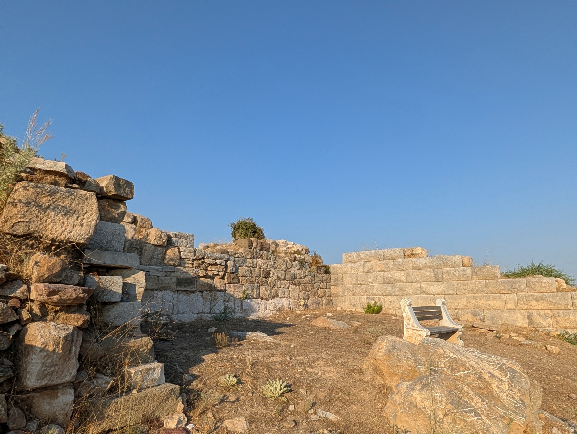
The project was intended not merely to expose the surviving masonry but also to present the defensive system as an archaeological landscape. The walls, towers, stairways, terraces, and remains of structures associated with the fortifications were therefore considered together. The excavations also produced archaeological finds from the Classical and Hellenistic periods, which were transferred to the Bodrum Museum of Underwater Archaeology.
The original plans envisaged a second phase extending from Myndos Gate towards Gümbet and Göktepe, where further sections of the defensive circuit could be investigated and made accessible. This extension has not yet been completed. The Academia Foundation has continued to present it as a planned stage of the project, subject to the necessary funding and arrangements.
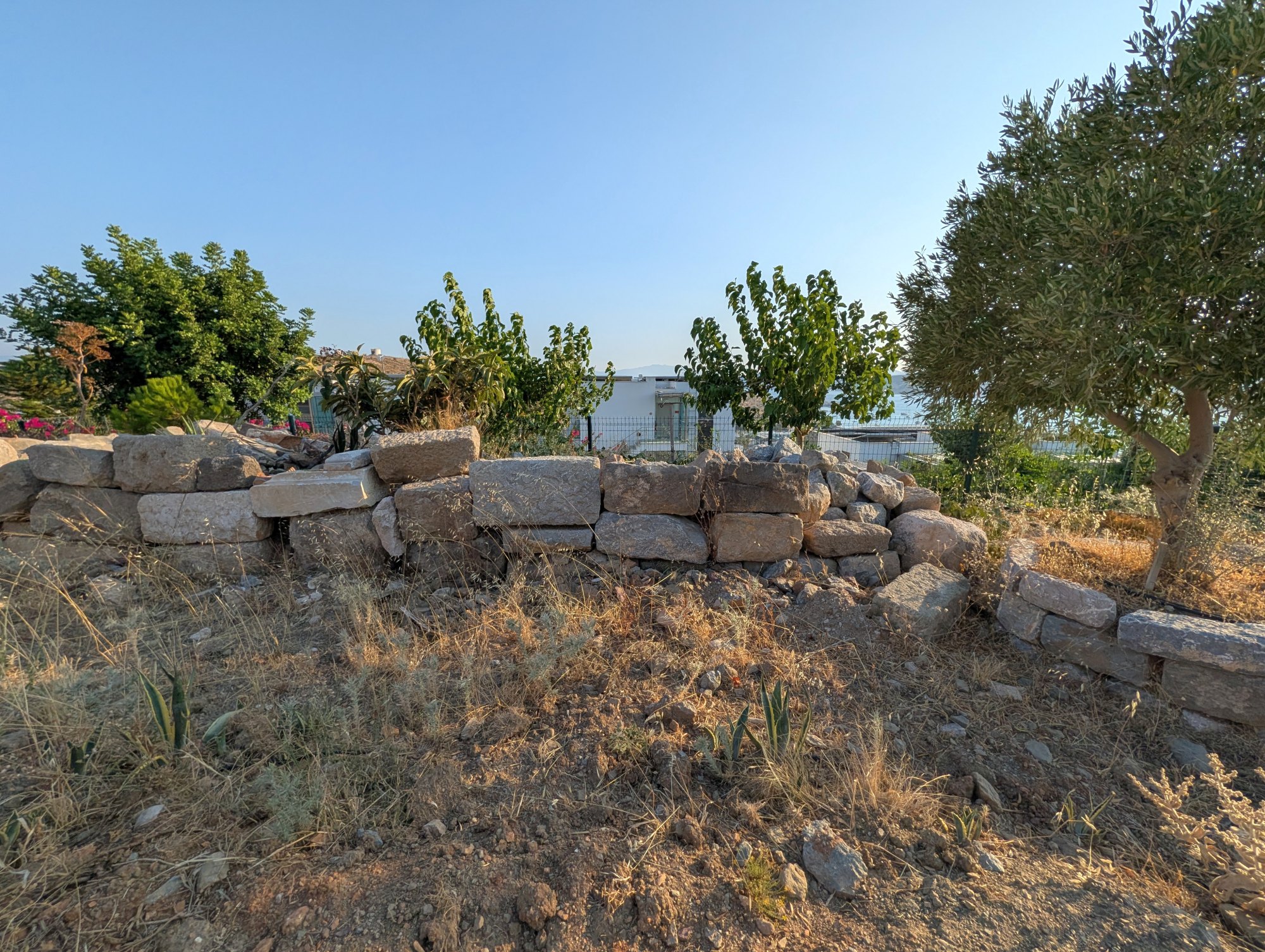
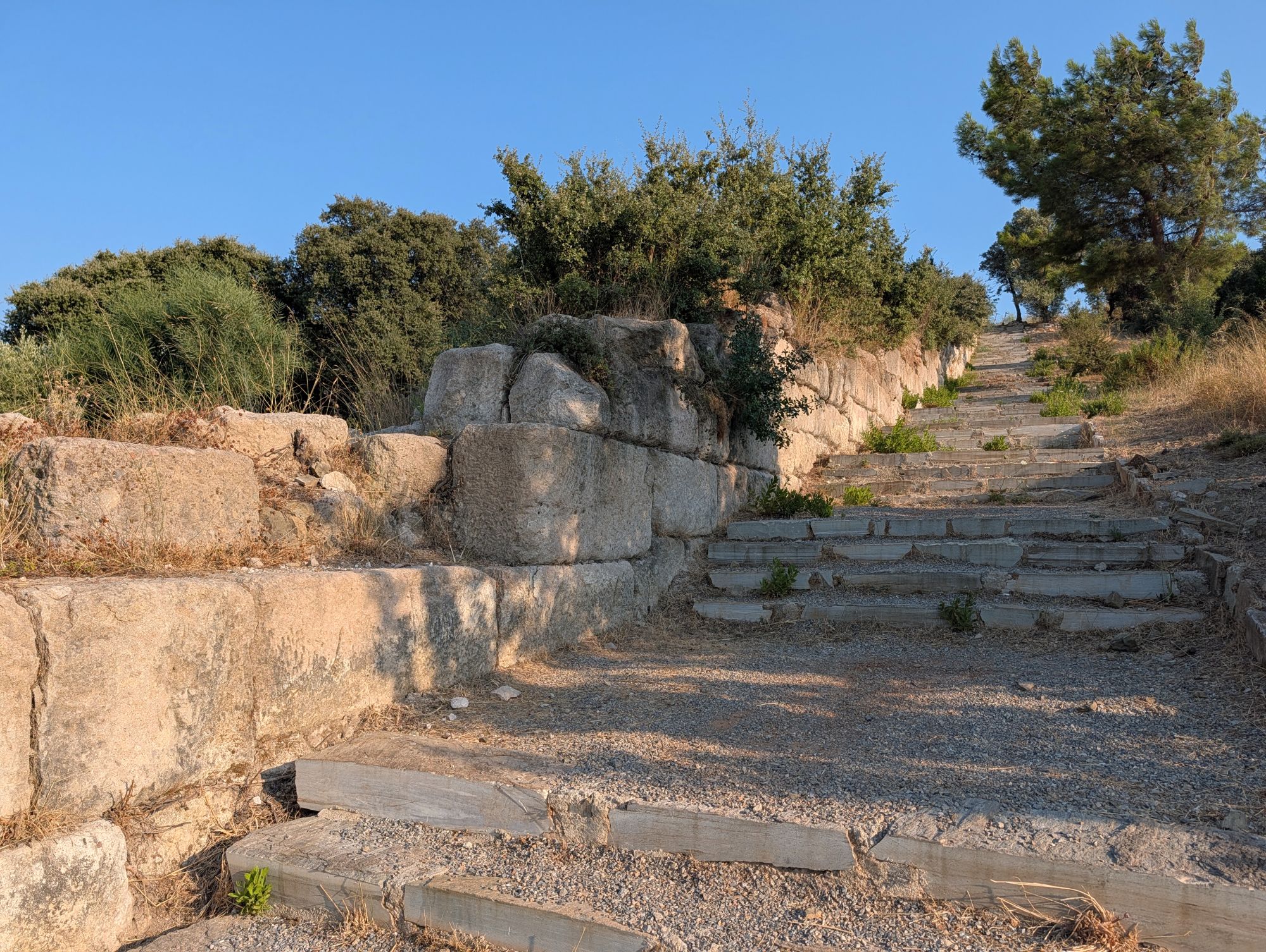
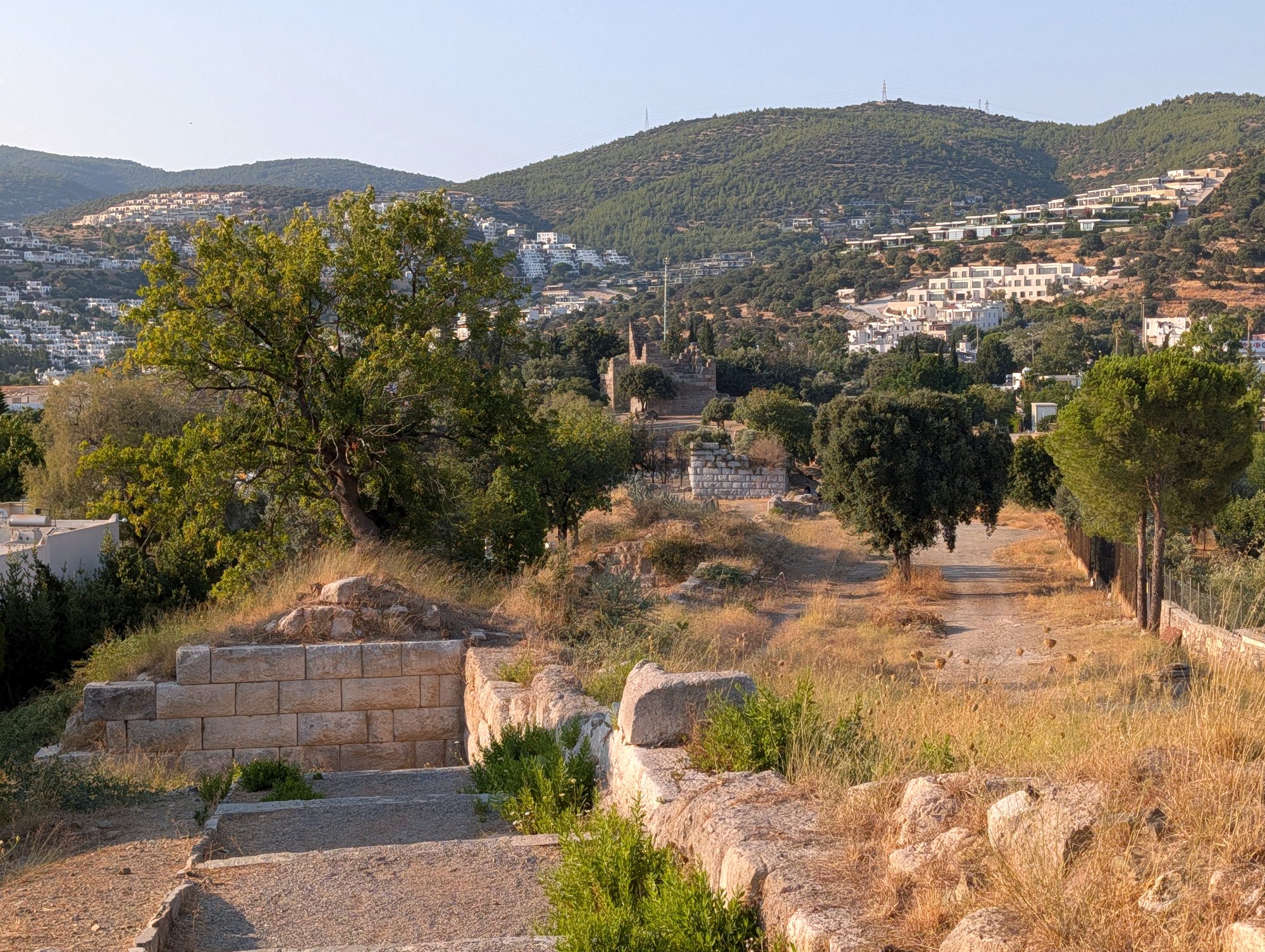
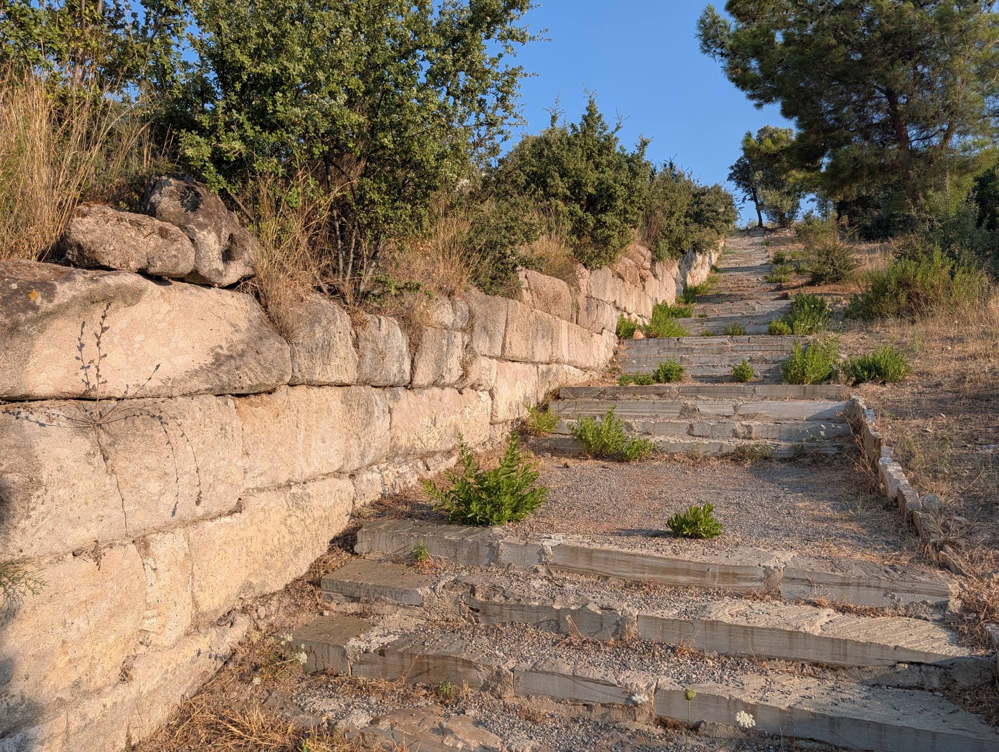
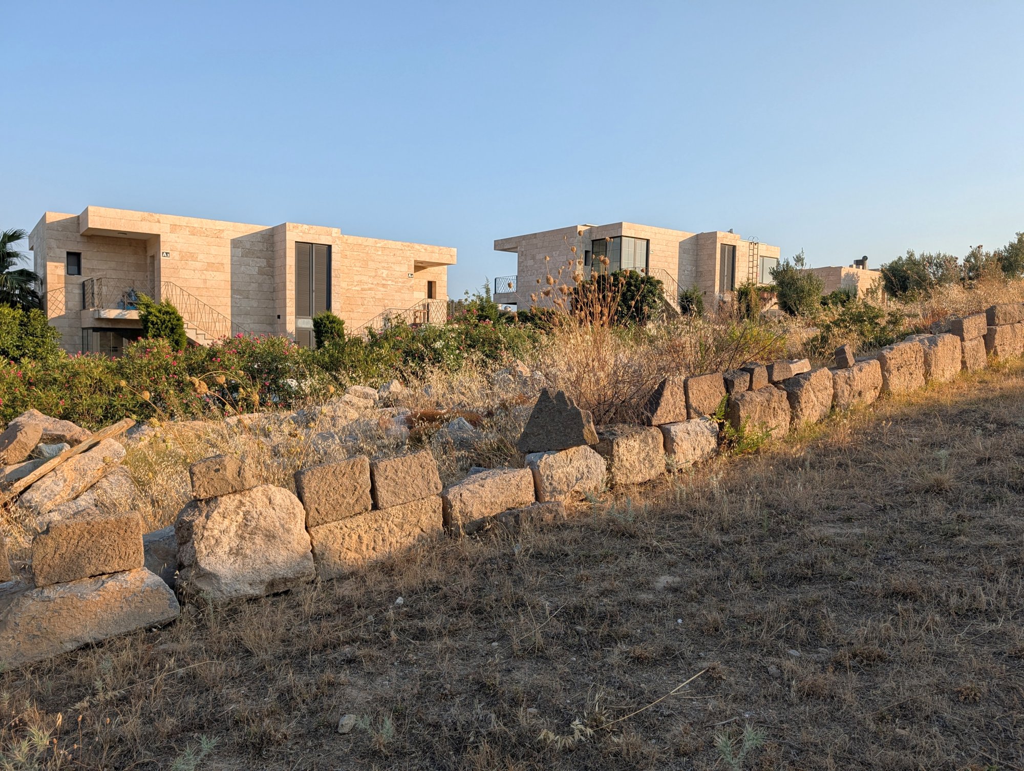
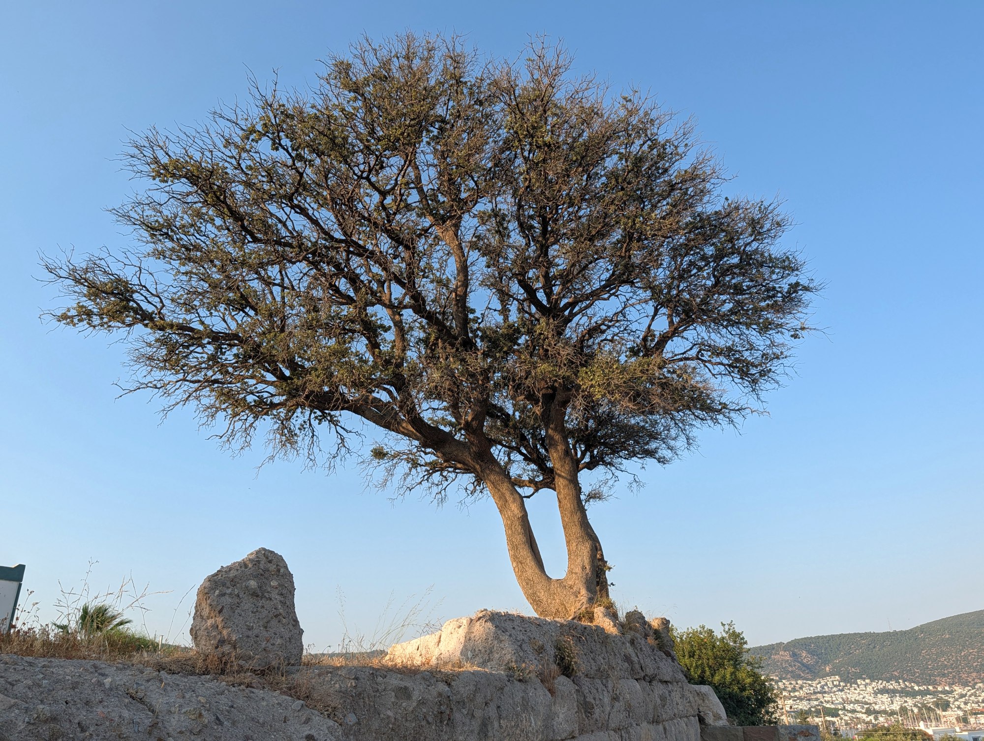
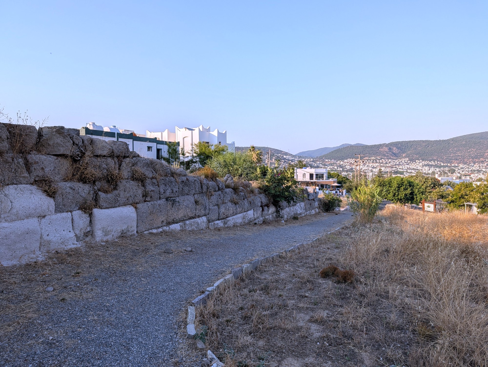
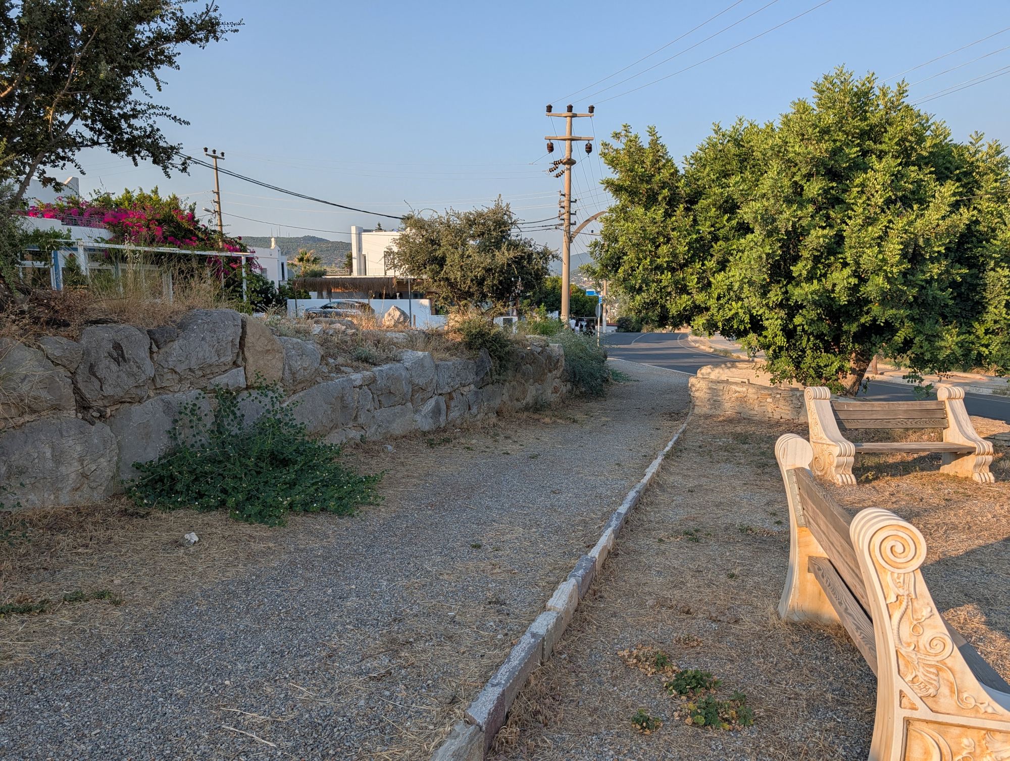
The walking route follows the western defensive line through an area where the ancient fortifications occupy elevated ground above the modern town. It provides an opportunity to examine the construction of the city wall and the relationship between its towers and the surrounding terrain. The surviving masonry varies considerably in height and state of preservation. In some places, substantial stretches of the curtain wall remain visible, while elsewhere the archaeological remains consist mainly of foundations and lower courses.
The towers are among the most prominent features along this section. Their positions illustrate how the defensive line was reinforced at intervals and how the defenders could observe and protect the approaches to the city. The archaeological work exposed the remains of ten towers, although not all survive to the same extent or are equally easy to recognise from the walking path. The route also passes sections where the ancient builders made use of the natural slope and rocky terrain to strengthen the defences.
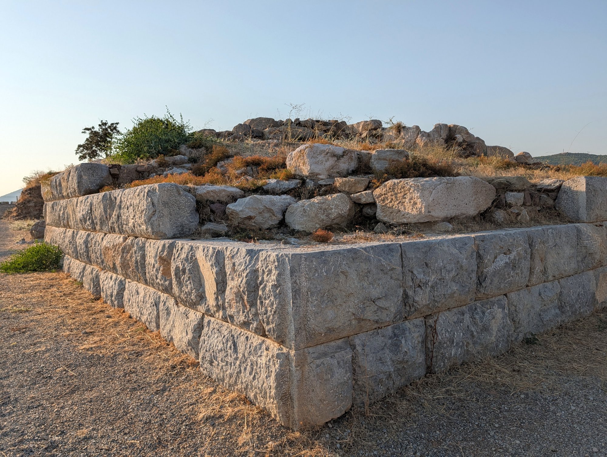
Stairways and terraces form another important part of the archaeological landscape. These features helped connect different levels of the defensive system and provided access to the towers and the upper parts of the walls. Their presence is a reminder that the fortifications were not simply a continuous barrier but a complex military installation that required movement between different defensive positions.
The route also offers views across the surrounding landscape, including the bays of Bodrum and Gümbet and the famous Bodrum windmills. These views help explain the strategic importance of the western and southwestern approaches to the ancient city. The elevated position of the fortifications allowed the defenders to observe the coastline and the routes leading inland towards the city.
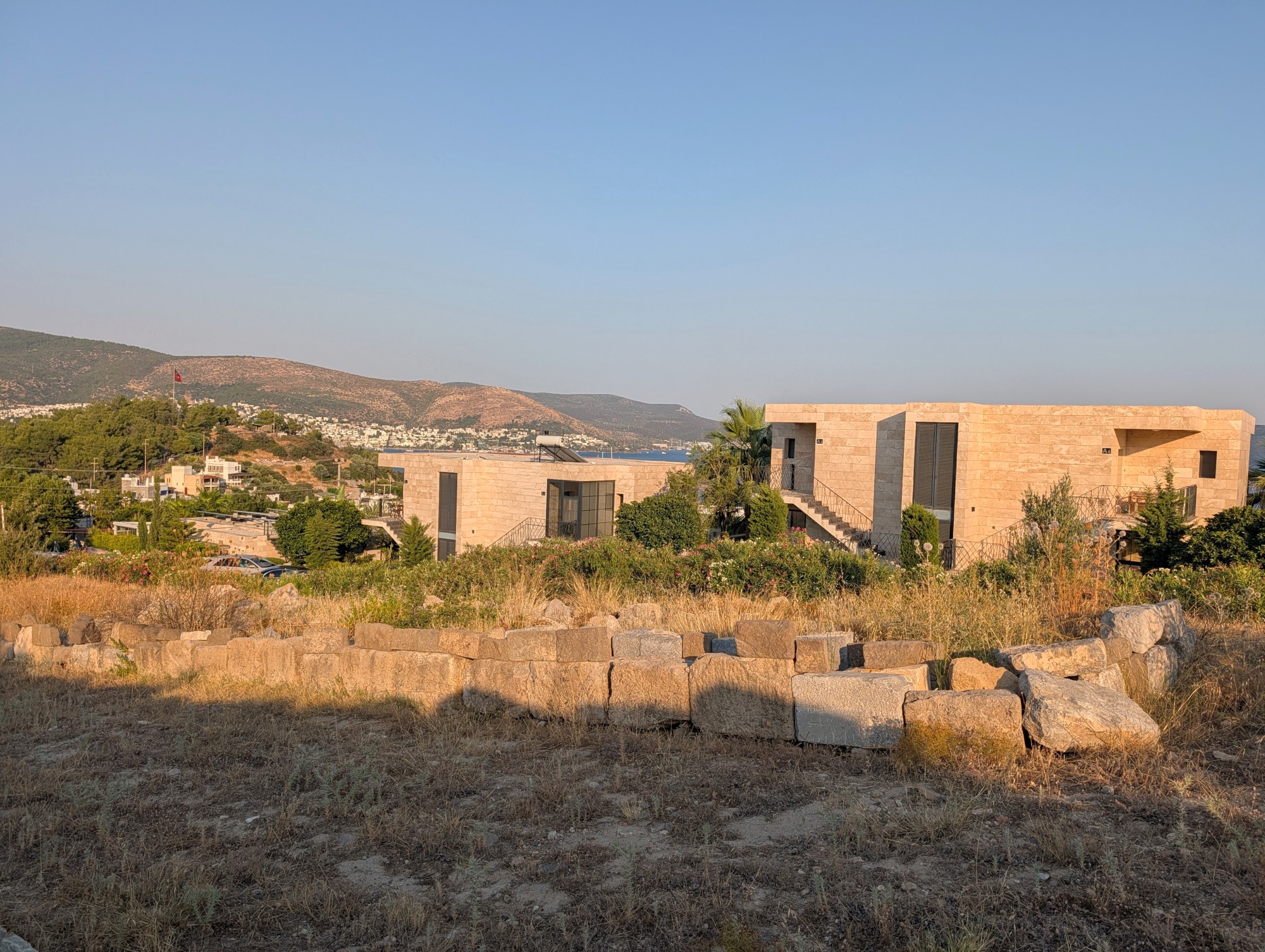
The walking route terminates at Myndos Gate, the most substantial surviving entrance to ancient Halicarnassus and one of the principal monuments of its defensive system. The gate was built on the western approach towards Myndos and consisted of a monumental entrance flanked by two towers, with an inner courtyard and a further portal arrangement. Its complex design made it considerably more defensible than an ordinary opening in the curtain wall.
The excavations and restoration work carried out between 1998 and 2000 revealed important details of the gate's arrangement, including the towers, the courtyard, and the defensive ditch in front of the entrance. The remains of the ditch are particularly significant because they demonstrate how the approaches to the gate were integrated into the wider defensive system. The northern sections of the walls and towers adjoining the gate had already undergone an earlier phase of restoration, completed in 1999.
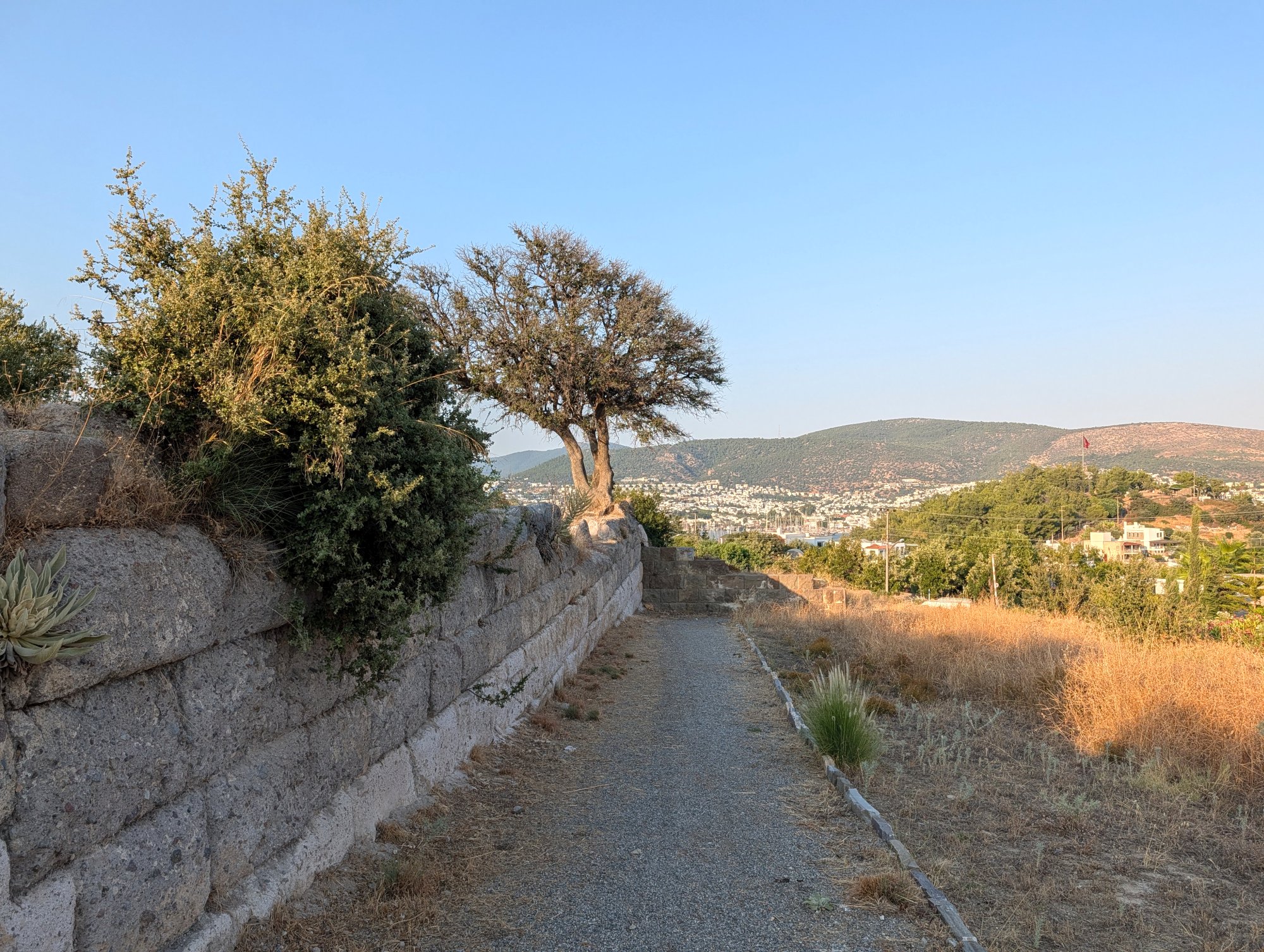
The area around Myndos Gate also contains archaeological remains associated with the ancient necropolis. Monumental tombs and other funerary structures were established outside the city walls, in keeping with the ancient practice of placing burial grounds along the roads leading out of settlements. These remains provide an additional dimension to a visit, illustrating how the defensive boundary and the funerary landscape occupied neighbouring areas.
Bibliography
Ancient sources
- Arrian, Anabasis of Alexander, 1.20–23.
- Cicero, Epistulae ad Quintum fratrem, 1.1.25.
- Diodorus Siculus, Library of History, 16.36 and 17.24–27.
- Herodotus, Histories, 1.144, 7.99, and 8.68–69.
- Pausanias, Description of Greece, 2.30.9.
- Pliny the Elder, Naturalis historia, 36.30–31.
- Strabo, Geography, 14.2.16–17.
- Vitruvius, De architectura, 2.8.10–11.
Modern sources
- Bean, George Ewart, and John Manuel Cook. 1955. "The Halicarnassus Peninsula." The Annual of the British School at Athens 50: 85–171.
- Carstens, Anne Marie, and Poul Pedersen. 1999. "Porten til Halikarnassos." Sfinx.
- Hansen, Mogens Herman, and Thomas Heine Nielsen, eds. 2004. An Inventory of Archaic and Classical Poleis. Oxford: Oxford University Press.
- Jeppesen, Kristian, et al. 1981–2004. The Maussolleion at Halikarnassos: Reports of the Danish Archaeological Expedition to Bodrum. 7 vols. Aarhus: Jutland Archaeological Society.
- Lawrence, A. W. 1979. Greek Aims in Fortification. Oxford: Clarendon Press.
- Maiuri, Amedeo. 1924. "I Castelli dei Cavalieri di Rodi a Cos e a Budrum (Alicarnasso)." Annuario della R. Scuola Archeologica di Atene 4–5 (1921–1922): 290–343.
- McNicoll, Anthony W. 1997. Hellenistic Fortifications from the Aegean to the Euphrates. Oxford: Clarendon Press.
- Mortensen, Eva, and Niels Bargfeldt. 2016. "The Necropolis outside the Myndos Gate in Halikarnassos – Surveying and Drawing." In Death and Burial in Karia, edited by Eva Mortensen and Birte Poulsen. Halicarnassian Studies VI. Odense: University Press of Southern Denmark.
- Newton, Charles Thomas. 1862. A History of Discoveries at Halicarnassus, Cnidus, and Branchidae. 2 vols. London: Day & Son.
- Pedersen, Poul. 1994. "The Fortifications of Halikarnassos." Revue des Études Anciennes 96 (1–2): 215–235.
- Pedersen, Poul. 2010. "Halikarnassos during the Imperial Period and Late Antiquity."
- Pedersen, Poul. 2011. "The City Wall of Halikarnassos." In Hellenistic Karia: Proceedings of the First International Conference on Hellenistic Karia, Oxford, 29 June–2 July 2006, edited by Riet van Bremen and Jan-Mathieu Carbon, 269–316. Bordeaux: Ausonius.
- Pedersen, Poul. 2023. "The Outer Defenses of the City Wall of Halikarnassos – Ditches and Escarpments." In Befestigungsbauten im westlichen Kleinasien. Fortifications in Western Anatolia, edited by A. Diler and S. Özen. Saarbrücken.
- Pedersen, Poul, and Ulrich Ruppe. 2016. "The Fortifications at Halikarnassos and Priene: Some Regional Characteristics?" In Focus on Fortifications: New Research on Fortifications in the Ancient Mediterranean and the Near East, edited by Rune Frederiksen, Silke Müth, Peter I. Schneider, and Mike Schnelle, 560–580. Oxford: Oxbow Books.
- Pimouguet-Pédarros, Isabelle. 2000. Archéologie de la défense: Histoire des fortifications antiques de Carie (époques classique et hellénistique). Besançon: Presses universitaires de Franche-Comté.
- Poulsen, Birte. 2016. "The Necropolis at the Myndos Gate in Halikarnassos – Monuments and Mosaics." In Death and Burial in Karia, edited by Eva Mortensen and Birte Poulsen, 11–106. Halicarnassian Studies VI. Odense: University Press of Southern Denmark.
- Poulsen, Birte, and David Parrish. 2011. "Late Antique Tombs with Mosaics in Ancient Halikarnassos."
- Ruzicka, Stephen. 1992. Politics of a Persian Dynasty: The Hecatomnids in the Fourth Century B.C. Norman: University of Oklahoma Press.
- Ruzicka, Stephen. 2012. Trouble in the West: Egypt and the Persian Empire, 525–332 BCE. Oxford: Oxford University Press.
- Isager, Signe. 2016. "The Necropolis outside the Myndos Gate in Halikarnassos – Five Inscriptions." In Death and Burial in Karia, edited by Eva Mortensen and Birte Poulsen. Halicarnassian Studies VI. Odense: University Press of Southern Denmark.
Visitor tips:
The walking route along the western section of the Halicarnassus walls is freely accessible, with no admission fee or tickets required. It is open 24 hours a day, so visitors can explore it at any time. The route extends for approximately 1.1 km between Bardakçı and Myndos Gate and can be approached from either end. Myndos Gate is also accessible independently, allowing visitors who do not wish to walk the entire route to concentrate on the monumental entrance and its surrounding archaeological remains.
The walk includes sloping ground and sections exposed to the sun. Comfortable walking shoes, water, and sun protection are advisable, particularly during the warmer months. Benches are provided at intervals along the route, offering places to rest and enjoy the views. However, there are no vending machines, kiosks, or shops along the path where visitors can buy water or snacks, so it is advisable to bring refreshments. Early morning and late afternoon are generally more pleasant times for exploring the site and photographing the remains. The elevated position of the walls also provides broad views of the surrounding bays and the modern town.
The site is maintained as an outdoor archaeological and walking area rather than a conventional museum. Vegetation and weather conditions may affect the appearance of individual sections, and maintenance work may occasionally take place along the paths. Visitors should remember that the route passes through a protected archaeological monument: climbing on the masonry, moving stones, or otherwise disturbing the remains should be avoided.
The eastern and northeastern sections of the ancient defensive circuit, as well as the proposed extension towards Göktepe, are not incorporated into the completed walking route. Exploring these parts of the fortifications requires separate visits and, in some cases, careful attention to access and the presence of modern buildings or private property.
Getting there:
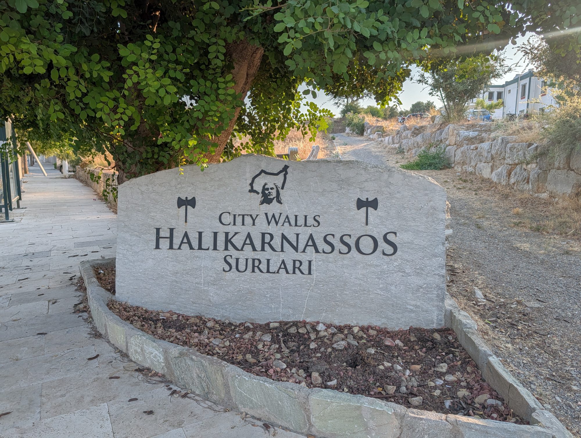
The GPS coordinates provided at the beginning of this article indicate the southern starting point of the walking route along the restored section of the Halicarnassus Walls. It is located at the intersection of Ünlü Sokak and Osman Nuri Bilgin Caddesi, where an information board introduces the project and the archaeological remains along the route. This is a convenient place to begin the walk towards Myndos Gate, following the ancient defensive line northwards.
Alternatively, visitors can start at the northern end of the route, in the vicinity of Myndos Gate. This option is particularly convenient for those who are already visiting the monumental entrance or approaching from the central part of Bodrum. From there, the path leads southwards towards Bardakçı. Both starting points provide access to the same approximately 1.1 km walking route, so visitors can choose the direction that best suits their plans.
The two ends of the trail are accessible from the surrounding streets of Bodrum. As the route is open around the clock and does not require tickets, there is no need to visit during particular museum opening hours. Visitors arriving by car should bear in mind that parking availability in this built-up part of the town may be limited, especially during the summer season.
- Log in to post comments