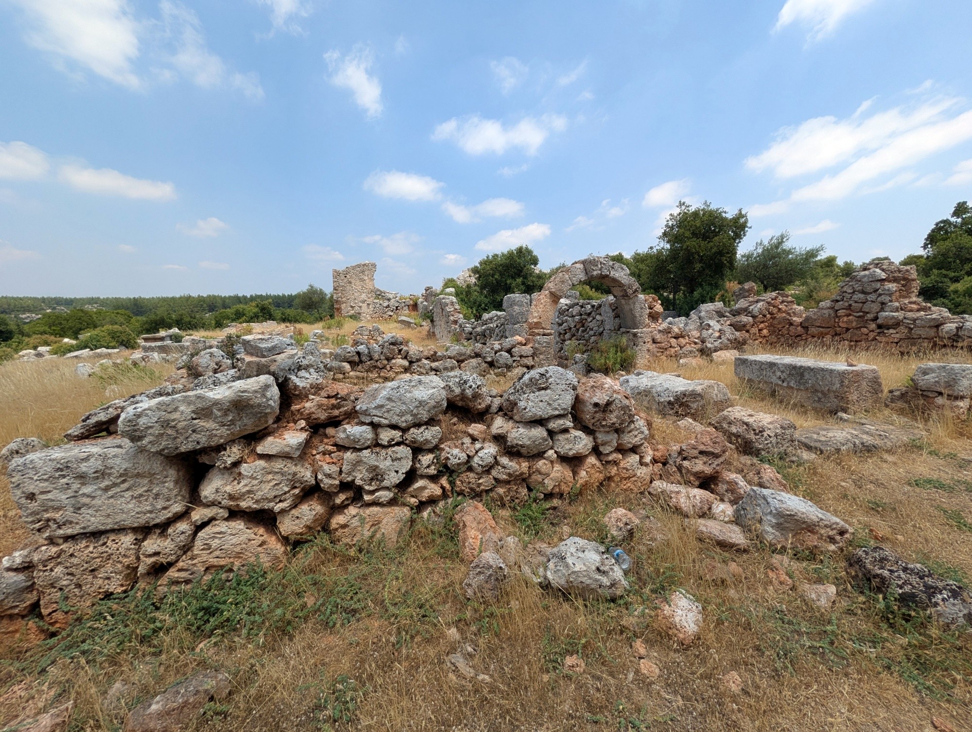
Just 12 kilometres south of the Mediterranean coast, on a hill overlooking the provincial capital of Antalya, stand the extensive ruins of an ancient settlement virtually unknown to most travellers and tourists. These ruins are known as Lyrboton Kome and come as a surprise because of their picturesque setting above the metropolis, within a pleasantly forested area. Sadly, as of 2026, they seem largely abandoned by researchers and visitors alike. So, what is the history of the Lyrboton Kome settlement? Let us try to find out as much as possible.
Historical overview:
According to archaeological studies, the settlement in this location is at least 2,200 years old, so it dates back to the tumultuous Hellenistic period, when the Greek settlements of Asia Minor gradually came under Roman control. It was not a city but an agricultural settlement specialising in olive oil production, sometimes dubbed "one of the most important olive oil production centres of the ancient world".
Administratively, the settlement was controlled by the nearest city - Perge - and not, as modern-era visitors might assume, by Attaleia, modern-day Antalya. The preserved inscriptions on one of the towers, today called the Tower of Arete, identify the place as Lyrboton of Perge. The same inscription explains that in Roman times, the settlement and its olive groves were associated with two brothers called Apollonios and Demetrios.
Because of this inscription, the Arete Tower is the most significant and highly symbolic structure of the settlement. The inscription on the two-storey tower, endowed by Arete, whose name means "virtue", states that Arete, daughter of Demetrios and priestess of Demeter, fittingly the Greek goddess of harvest and agriculture, had this two-storey building constructed using her own wealth, roofed it, and dedicated it to Emperor Caesar Domitian Augustus Germanicus, who ruled from 81 to 96 CE, and to Artemis of Perge, who had the right of asylum. Later, her grandson Timotheos also repaired the tower inherited from his grandmother. Judging from the inscriptions and the history of the family, Lyrboton Kome had reached the form of settlement visible in the remains by the 1st century CE.

The inscription, which demonstrates the importance of sustainability in production and the contribution of the family endowment, and which is remarkably instructive even today, describes the olive groves endowed by Mouas, son of Kille, daughter of Arete. While in good health and sound mind, he dedicated them to Emperor Hadrian and Apollo of Lyrboton, together with his farm and 600 cultivated olive trees. He transferred the olive groves to his mother Kille for her lifetime; after his mother's death, the komarkhos (village headman) was to maintain the endowment; and on the third day of September, a festival was to be held in honour of Apollo, with the people being adequately provided with food and drink.
The inscription goes on to state: "No one is permitted to sell or dispose of the above-mentioned properties, or to use the income obtained from them for another purpose. Otherwise, a fine of 1,000 dinars shall be paid to the Artemis of Perge. These provisions shall always be preserved unchanged." The inscription is unique as it is regarded as one of the earliest and most important surviving olive-oil endowment inscriptions in Anatolia.
The livelihood of the whole settlement depended on olive oil production, and archaeologists have not found any other ancient settlement in this region with as many olive presses as those discovered at Lyrboton Kome. The olives were grown in groves surrounding the settlement and then transported and processed there. The production of oil was highly coordinated and integrated with a system of cisterns for common use. Olive oil was crucial to numerous aspects of life in ancient times, not only as a cooking ingredient, but also for oil lamps and baths.

There are also preserved traces of the roads that were used for the transportation of olive oil from Lyrboton Kome. The final product was not exported by ships but loaded onto carts that took it north into the Anatolian plateau, where the conditions did not allow for the cultivation of olives. The product was sold to settlements there, including those where Roman legions were stationed, for instance in Antioch in Pisidia and Apamea. This northern road was identified by archaeologists and traced along a distance of 200 metres. It bears the tracks of carts, testifying that it was an important transportation artery. Another road connected the settlement with its administrative centre in Perge to the south-east. Moreover, Via Sebaste, the Roman imperial road connecting the Antalya/Attaleia region with Perge and Pisidia, passed through the area of Lyrboton Kome.
The inscription from the Arete Tower mentions that "Land for a temple to the God Apollo must be bought from this inheritance". Another possible confirmation that Apollo was the main god worshipped there is the inscription on an altar now in the collections of the Antalya Archaeological Museum, which states that "Light originating Apollo" was the chief deity worshipped in a place called baris - as farms with olive oil production were called in the Hellenistic era. The deity itself is called Apollo Elaibaris, meaning Apollo from an olive town. However, there are no visible remains of such a temple in Lyrboton Kome.
The settlement continued to function for a long time after the Roman Empire was divided into two parts, as testified by intensive Byzantine traces of structures erected over the earlier foundations. In Byzantine times, churches were also constructed in the settlement, and the ruins of four such structures remain visible today. While these later buildings usually stood on Roman structures, the plan of the settlement, including its road system and building pattern, remained the same. Furthermore, according to the interpretation of the site's researchers, it is probable that olive oil production continued there into the 20th century, until the Greek inhabitants left Turkey in 1924. The Turkish immigrants who replaced them arrived from the region of Thessaloniki and settled on the plain below, in the district known today as Varsak, while Lyrboton Kome fell into ruins.
Archaeological research:
Despite several examinations of the inscriptions found within Lyrboton Kome and its vicinity, which began in 1910 with the research of H. A. Ormerod and E. S. G. Robinson, no archaeological excavations or studies of the site were carried out until the late 20th century. One of them was the survey of small ancient settlements near Antalya carried out in the 1990s with financing from Akdeniz University, which resulted, among other things, in the publication of the paper "An Olive Oil Production Center in Pamphylia: Lyrboton Kome" by Nevzat Çevik.
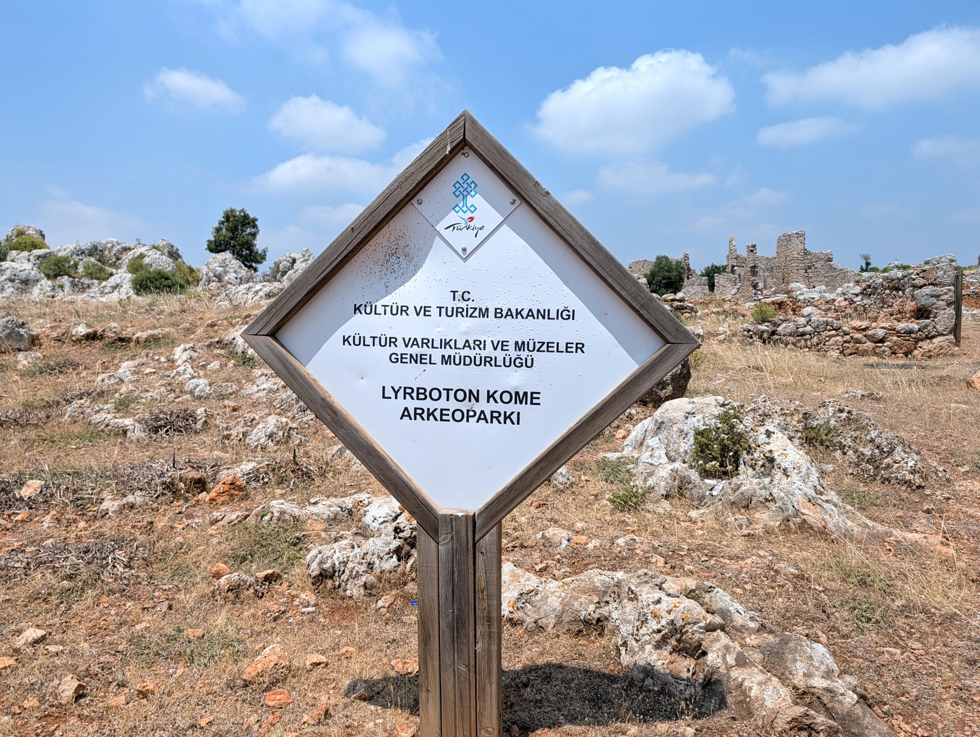
Then, the ruins were prepared for tourists, cleared of bushes, equipped with information boards, and provided with a new, wide access road that enables cars to reach the site. The official opening of the Lyrboton Kome archaeological site to the public took place in September 2018. The problem was that the crowds of history lovers never came to this site, and now it sits quietly forgotten and can feel remarkably neglected, with faded information boards and heaps of garbage greeting the relatively few visitors guests who venture there.
Sightseeing:
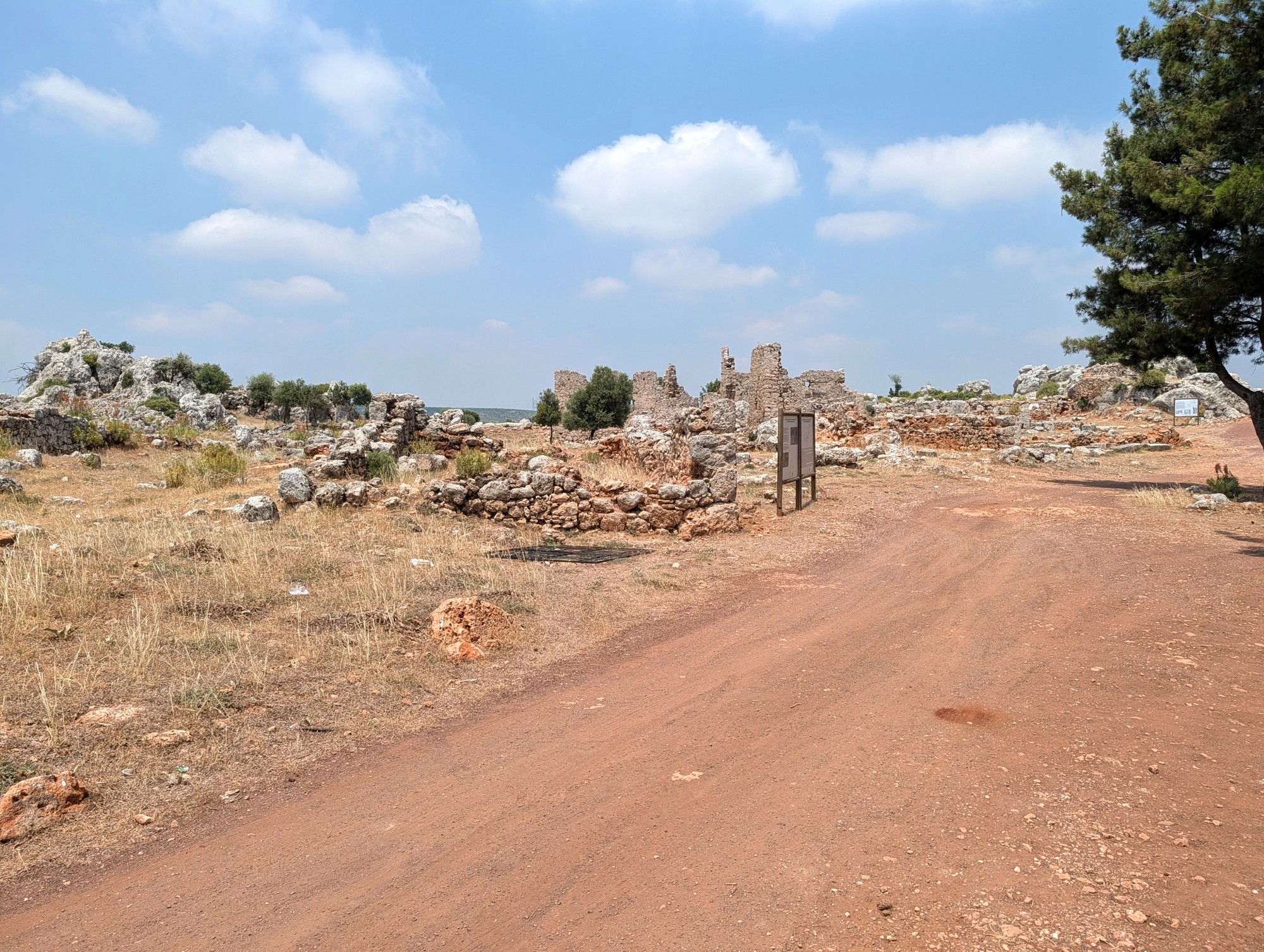
Using the access road to Lyrboton Kome, visitors reach the archaeological site from the south where, according to the plan on the information board, there were plans to open a visitor/reception centre and museum, but currently there is just a tree-shaded area. The site occupies a long, irregular area extending roughly from east to west across a wooded landscape on the top of Örengediği Hill. From the western and eastern directions, the site is delimited by deep cliffs, but a relatively flat area between them provides a location suitable for habitation and well protected against invasions. This is a natural defence system, completed with the addition of fortification walls where they were deemed necessary. From the perspective of the modern-era visitor, the settlement is divided into two parts: the western one with the ancient monumental gateway, a viewpoint and the Arete Tower, and the eastern one where the ruined bath and four churches can be seen.

The tour of Lyrboton Kome may be started with a visit to its western part. There, the main street of the settlement extended from south to north and the main access gate was originally in the middle of the southern side. It had the form of a monumental gateway, mainly carved out of the rock. Today, this gate can be reached using a narrow path leading west from the place where the modern road accesses the site. Nearby, there is a viewpoint offering panoramic views over modern-day Antalya and its surroundings. Just to the north of it stand the remains of the so-called Arete Tower.

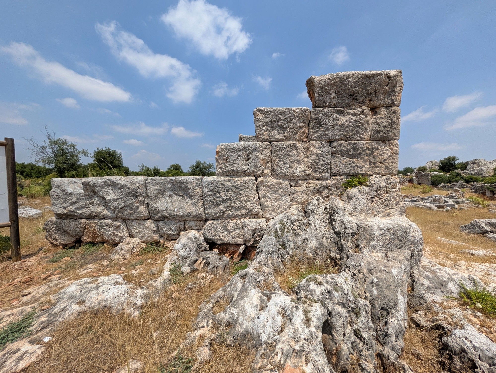
This tower is the most characteristic structure to be seen within the Lyrboton Kome archaeological site. It stands on the plain, around 100 metres from the entrance. The walls of this tower, erected from large blocks of cut stone, still rise up to 4 metres in some sections, and researchers estimate that the building was originally 6 or 7 metres high. The plan of the structure and its strong walls give the impression of a low tower with two floors. However, the function of this tower remains a mystery - its defensive role is questionable, as it stands inside the settlement and is set apart from the fortification walls. Researchers have proposed several alternative functions, such as a protective shelter to be used in times of danger or a warehouse of some kind. Moreover, the traces of a workshop next to the tower and the presence of a trough inside it strongly suggest a civilian rather than military use.
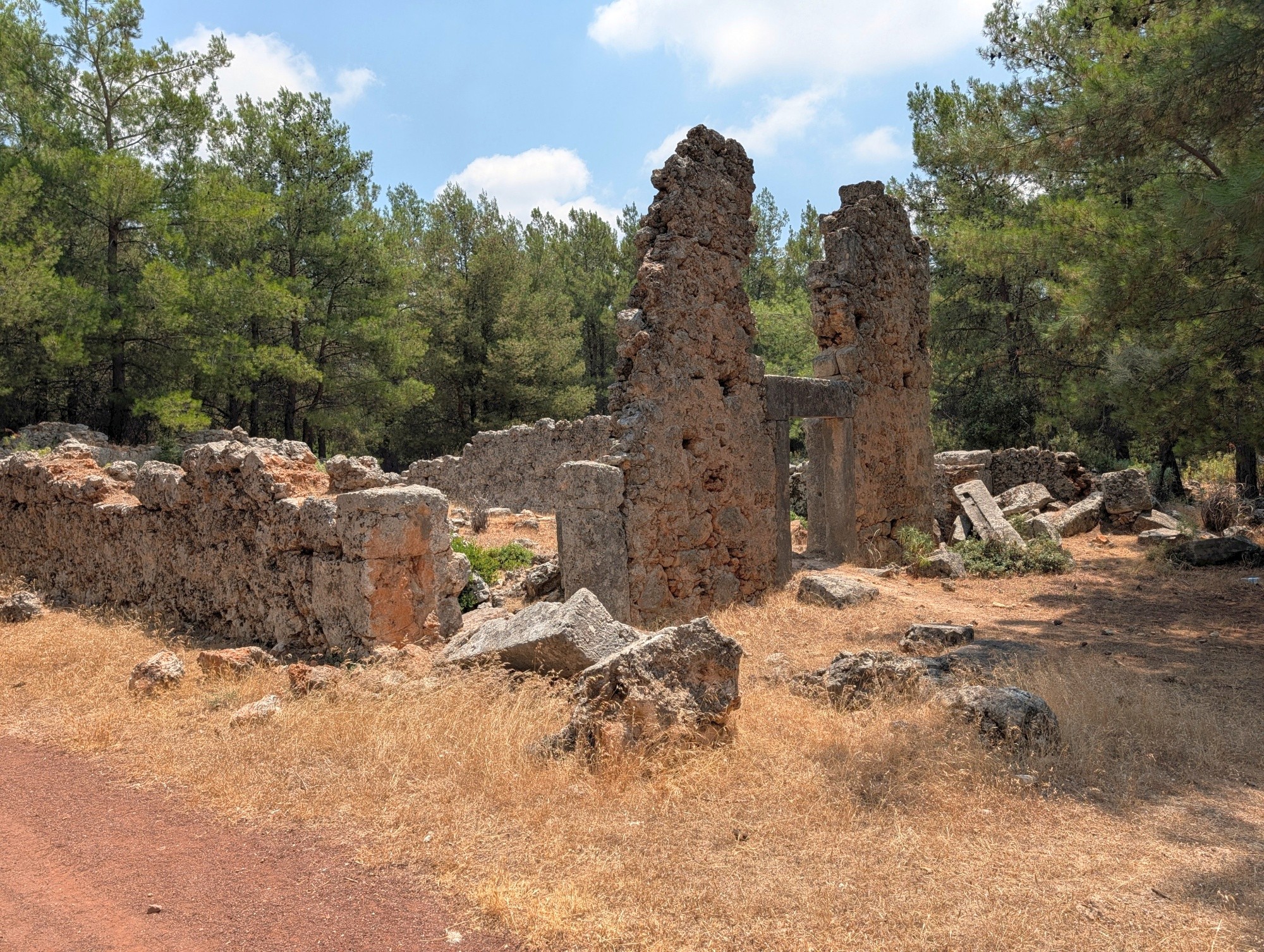
After visiting the western part of the site, visitors should head back to the entry area and move on to the eastern part, following a signposted path that winds through a forested area. Following this path, visitors can reach the ruins of a small vaulted bath. There are three sections visible, and two of them still have barrel-vaulted ceilings. The canal that once brought water to the baths can be spotted near the southern corner of the structure. The building was entered via an arched door on the side facing the road. Just to the north-west of the baths, a massive cistern carved into the bedrock can be seen. It measured around 20 by 5.5 metres and was covered with a barrel-vaulted roof. In fact, it was the presence of this cistern, along with the particular plan of the building and the presence of such architectural fragments as the round trough and a piece of a round basin, that allowed the identification of the structure as a bath. Both these structures - the bath and the cistern - date back to the period after the 3rd century CE.

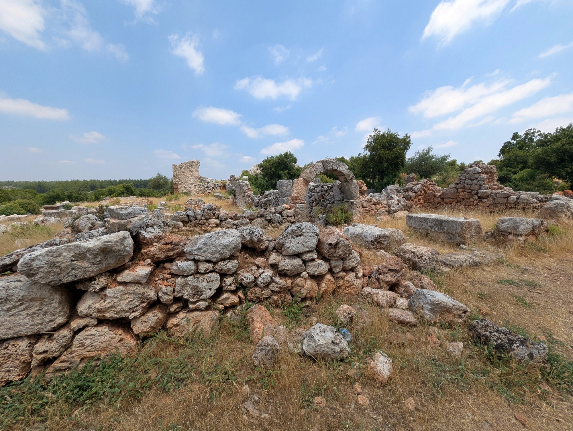
The traces of four churches can be seen in the eastern part of the settlement. The largest of them is closest to the centre of the site and is simply known as the Southern Church. It was a three-naved basilica, with the naves separated by rows of columns. Moreover, the bishop's residence was located nearby. The three other churches - one similar to the basilica and two smaller chapels - are further to the east.
As the most important occupation of the settlement's inhabitants was olive oil production, it is not surprising that there are numerous ruins related to this activity. The dating of the workshops has proved to be a bit of a problem for researchers, as they were cleaned and reused over many centuries. Some pottery found within them could be dated back to the Late Roman and Byzantine periods. Traces of many oil-processing workshops were scattered all around the site, both in the western and eastern parts. There were alternative solutions as to where these facilities should be located - some were next to residential buildings or even inside them, while others were built solely for the purpose of oil production. Most of them were carved into the eastern side of the main rock, which forms the natural north-western border of the settlement, while some were placed along the south-western part.
The workshops carved into the natural rock were usually completed with walls where the rock was too low. Inside, the elements related to olive oil production can be identified, again carved into the rock: troughs, press beds, holes for gathering oil, holes which supported the pressure plank, and shedding canals. In total, eleven complete workshops with all these elements have been identified within the site, but there are many more incomplete installations, testifying to the fact that there were originally many more of them.
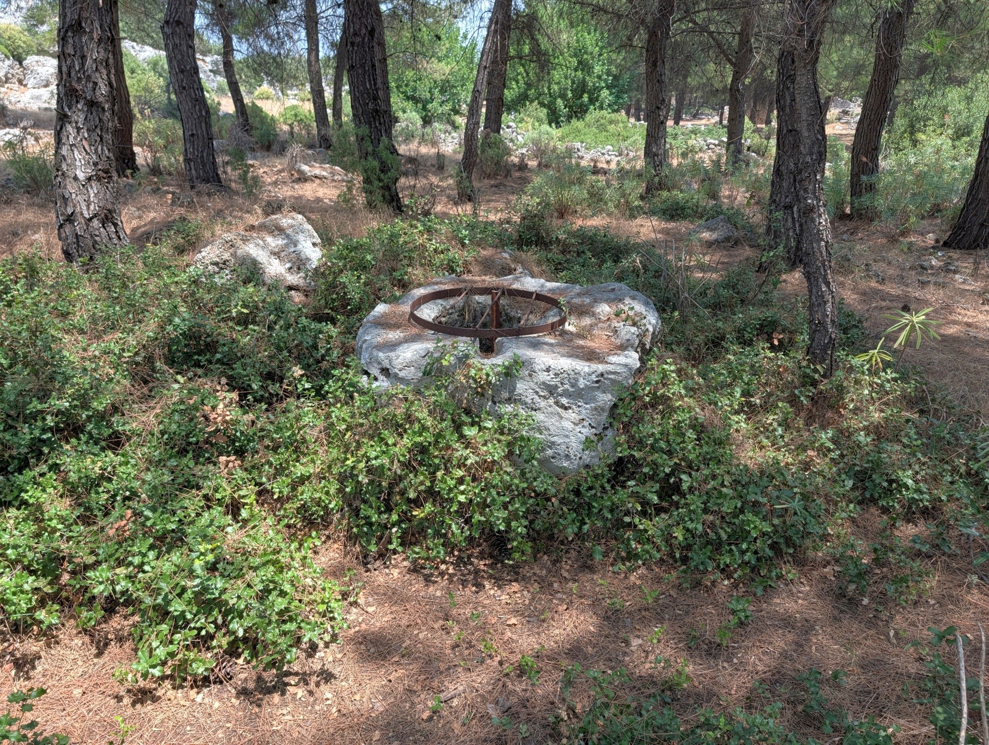
Cisterns are other structures, also scattered around the settlement, just like the olive oil workshops. An astounding number of them has been identified so far - at least 65 - most of which were located near the workshops. This large number of cisterns was necessary as the settlement did not have spring water. Moreover, water is necessary in olive oil production, as it is used to soften the olives in warm water before pressing them. Finally, water was also used for cleaning purposes. All the cisterns, carved into the rock, were plastered many times. In the Byzantine period of the settlement, it seems that when a place was chosen to erect a new house, the presence of a nearby cistern was one of the main criteria for the selection.
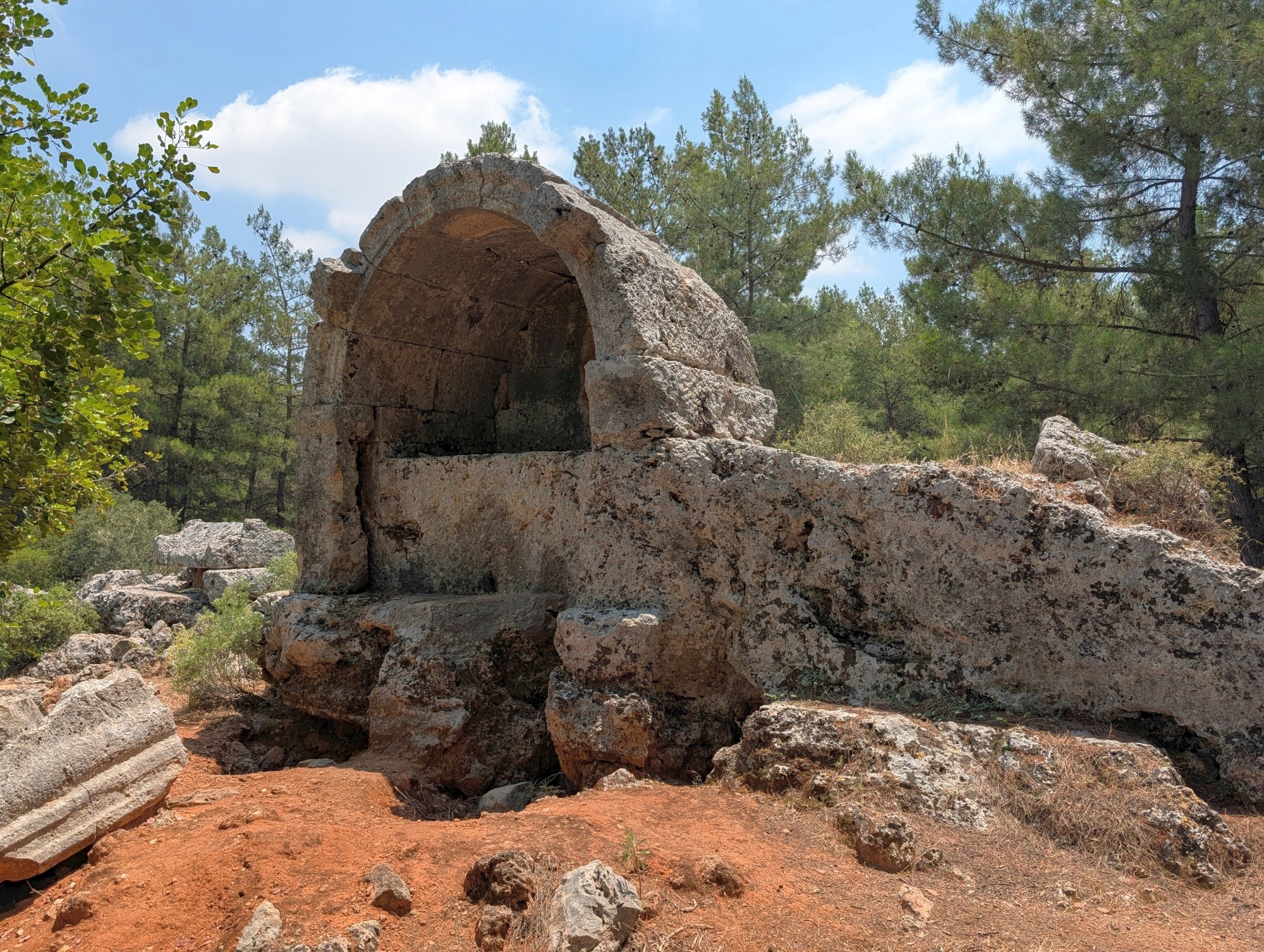
The main necropolis of the site is located to the west of the settlement, outside the residential area, but there are also monumental tombs in the eastern part. Some of them were cut into the rock surrounding the town. Generally, visitors can see three main kinds of tombs in Lyrboton Kome - sarcophagi, aedicula tombs in the form of small shrines, and underground tombs.

Visitor tips:
As of 2026, there was unlimited access to the site and entry was free of charge. There are no facilities for visitors, such as shops, toilets, etc., so bring your own supplies. When visiting, it is worth paying attention to the numerous cisterns located all over the site, as they pose a potential risk of falling.
Getting there:
The Lyrboton Kome archaeological site is located in the Varsak district of Antalya, around 12 kilometres from the historical centre. It is possible to get there by public transportation, as tram line T3 goes there (Varsak is the correct stop). From there, it is necessary to walk first through the Varsak district and then uphill to the site itself, which can take around 30-40 minutes.

- Log in to post comments